Combining cutting-edge technology and a highly qualified team, we offer a comprehensive portfolio of surveying solutions. Our work consists of providing precise and reliable geospatial data, which guarantees the safety, efficiency, and technical and economic viability of your project. We serve the engineering, construction, land registration, and agribusiness sectors.
What do we do?
High-Precision Topographic Surveys
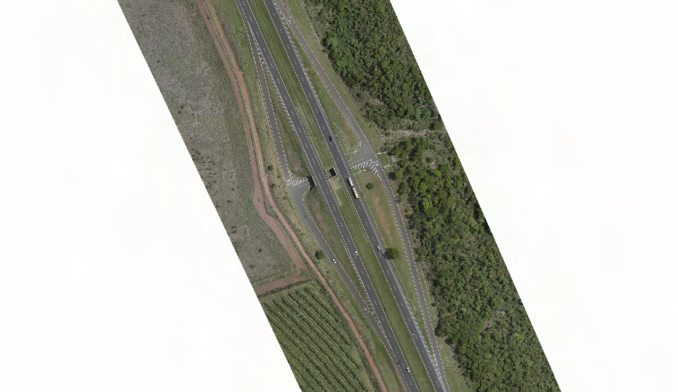
Our surveys capture the reality of your location with absolute accuracy, recording critical coordinates and altimetric data of natural elements and existing infrastructure..
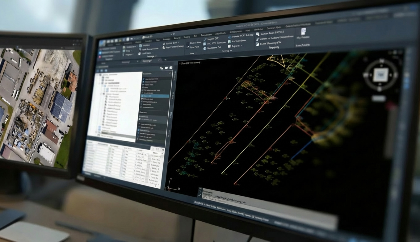
Using state-of-the-art instrumentation, we transform raw data into advanced engineering solutions.. We deliver everything from contour maps and detailed topographic plans to complex 3D Digital Terrain Models..
Our technical team ensures that each survey strictly adheres to the project specifications, guaranteeing the solid foundation necessary for the success of your undertaking..
WHAT SETS US APART
Cutting-edge technology
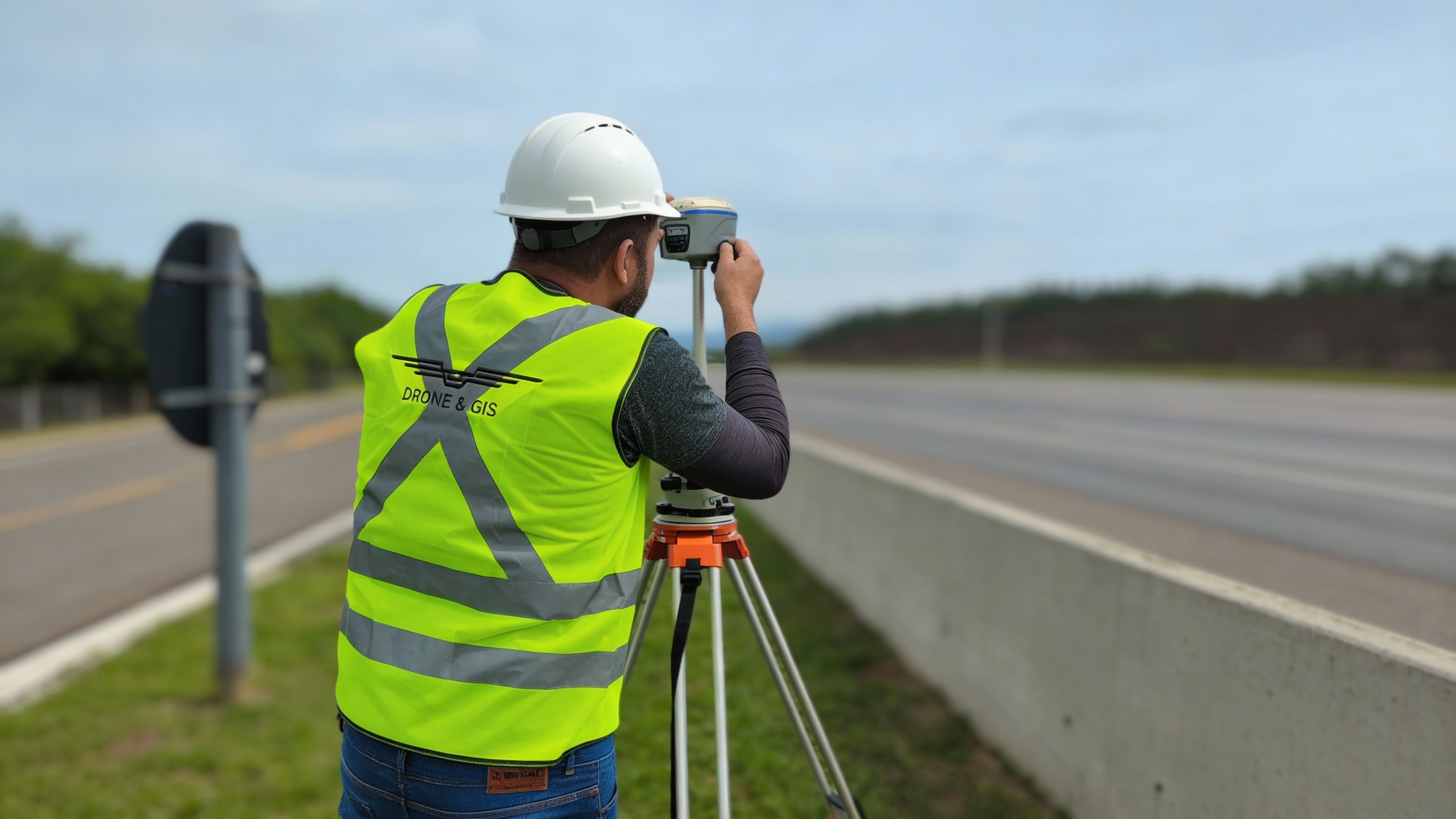
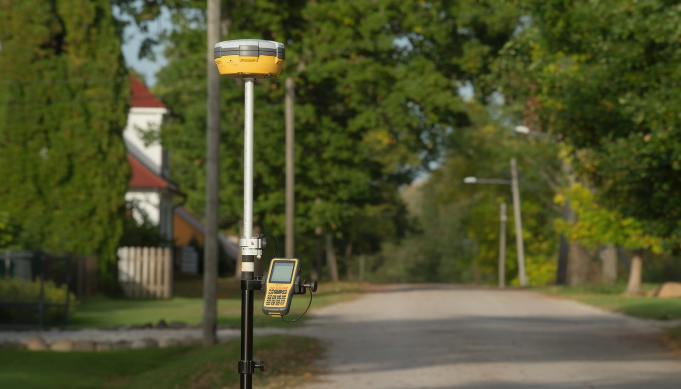
We utilize total stations, laser scanners, high-precision GNSS receivers, and state-of-the-art drones.
Precision and Reliability
Our services strictly adhere to international technical standards, guaranteeing the delivery of highly reliable data.
Experienced Team
We have cartographic engineers, surveyors, and technicians with extensive experience.
Agile Delivery
We optimize our operational processes to deliver fast results without ever compromising technical quality..
Bespoke Service
We understand the needs of each client to offer the most appropriate and economically viable corporate solution..
BIM & DIGITAL TWINS INTEGRATION
We elevate traditional surveying by providing data ready for modern engineering.. Our surveys generate dense point clouds and textured 3D models that integrate seamlessly into BIM workflows.Building Information Modeling).
This allows for the creation of precise Digital Twins of your asset, facilitating planning, spatial clash detection, and infrastructure management with absolute fidelity to reality.
REMOTE ACCESS AND RISK MITIGATION
Eliminate human exposure to hazardous environments without sacrificing data quality..
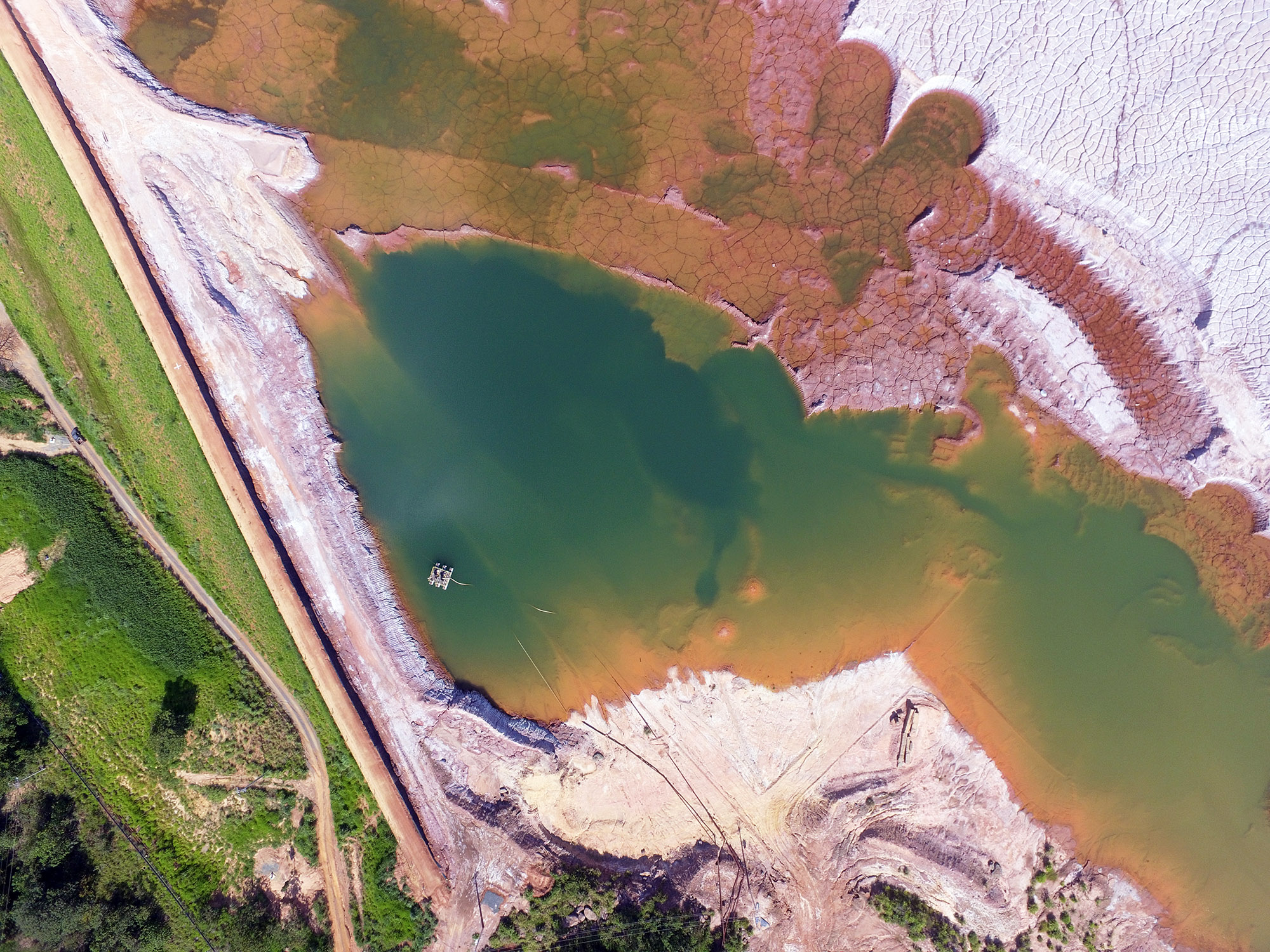
Our remote sensing technology enables the safe mapping of unstable areas, steep slopes, active quarries, or contaminated zones.. We deliver precise volumetric and topographic measurements of sites where conventional methods would be impractical, costly, or risky..
LARGE-SCALE EFFICIENCY
Optimize your project timeline with our fast data capture capabilities.. Compared to traditional ground surveying, our aerial solutions cover hundreds of hectares in a fraction of the time..
We deliver ultra-high-resolution orthomosaics and Digital Terrain Models in days, not weeks, ensuring the speed needed to monitor large infrastructure projects and real estate developments..
DATA CAPTURE
Topography, a fundamental science for engineering, architecture, and construction, has undergone a global technological revolution in recent decades. Previously time-consuming and exhaustive methods have given way to highly precise and efficient equipment, capable of generating detailed three-dimensional terrain models with unprecedented agility. Discover the main equipment we use that is shaping the present and future of topographical data capture:
At DRONE & GIS, we are corporate specialists in high-precision topographic surveying.. Using state-of-the-art technology, we map your land to identify and analyze in detail all of its natural and artificial features..
The result is a complete set of geospatial data for your project, including: detailed plans, Digital Terrain Models, Point Clouds, CAD vectors, and contour maps.. We guarantee the accurate capture of crucial elements, from property boundaries and infrastructure to the specific features of the terrain..
Topographic Survey (Planimetric and Altimetric) Cadastral Survey
We create an accurate representation of the terrain, including topography, dimensions, boundaries, and all natural and artificial elements present (such as buildings, fences, posts, and vegetation).. It is an essential service for the start of any architectural or engineering project..
Environmental and Territorial Management
We conduct precise topographic surveys to support licensing and environmental studies.. Our work provides the geometric basis for planning. layouts, the management of natural resources and the execution of projects for the conservation and recovery of degraded areas.
Site Layout and Dimensional Control
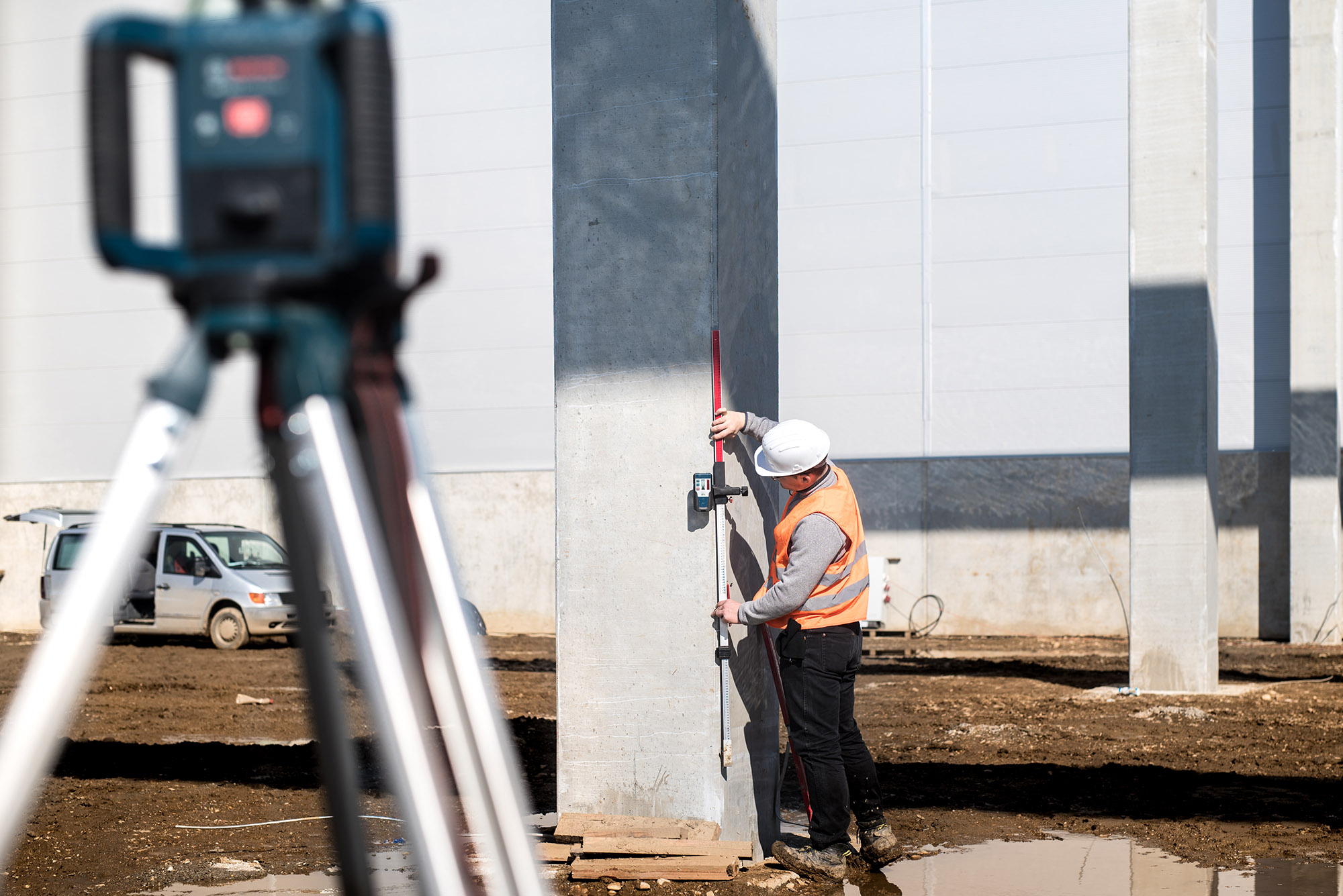
To ensure the project's fidelity during execution, precision is fundamental.. We handle site layout (precise physical demarcation of axes and pillars) and provide ongoing technical support throughout construction.. We operate from basic topography to surveying. As-Built (as built), ensuring the correct positioning of foundations, structures and drainage systems, mitigating the risks of geometric errors..
Infrastructure Studies and Projects
Our expertise supports consulting engineering in road, bridge, sanitation, and transmission line projects.. We provide detailed topographic modeling, with rigorous planimetric and altimetric accuracy and contour lines.. This data is essential for volumetric calculations (cut and fill), technical feasibility, and optimization of construction costs.
High-Precision Mapping and Cadastral Support
Data accuracy is the foundation of asset security.. We provide highly accurate topographic and geodetic surveys for properties, using GNSS technology and drones.. Our data serves as the definitive geometric basis for asset inventories, technical audits, real estate risk analysis, land use planning, and technical support for regularization and engineering processes on a global scale..
Underground Utility Mapping and GPR
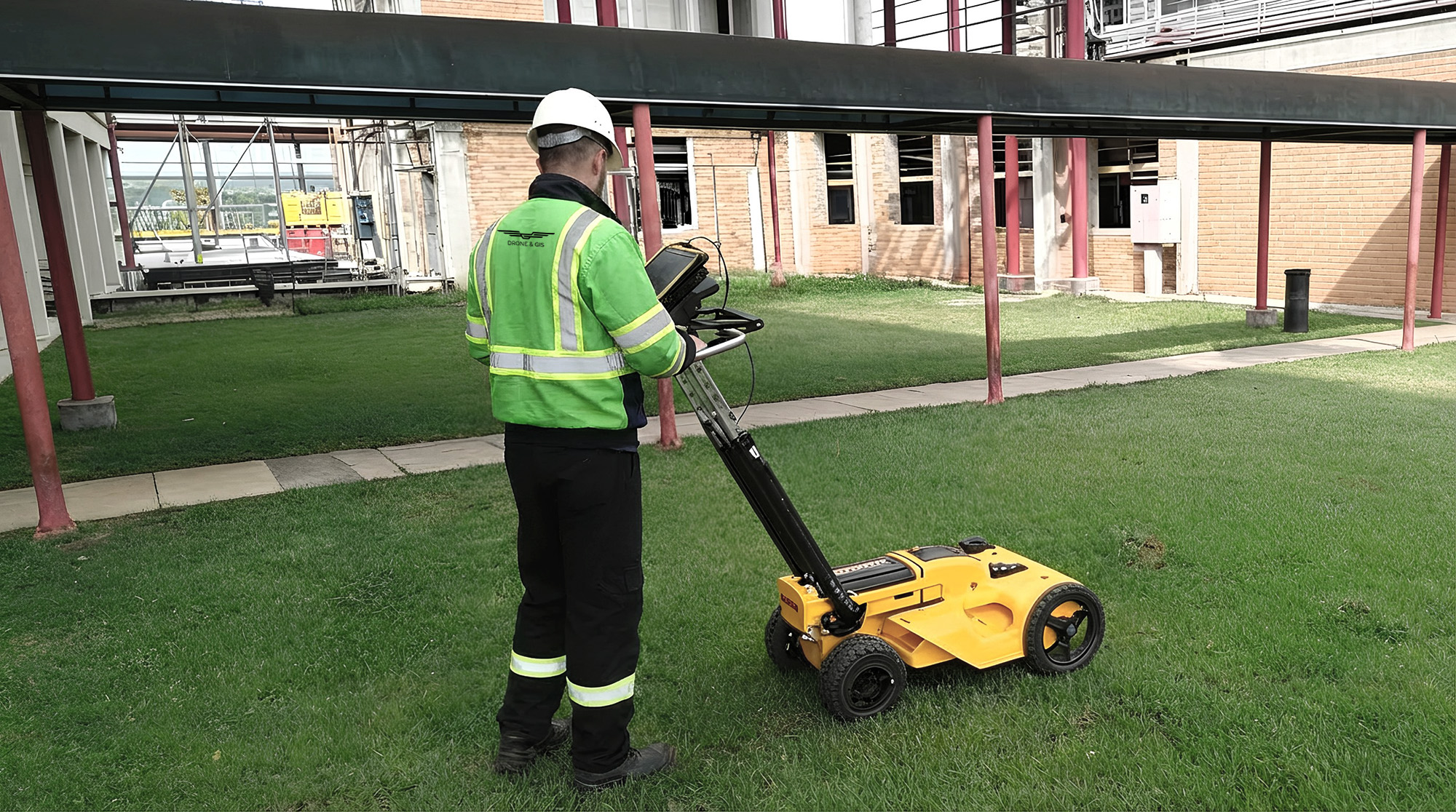
A non-destructive investigation service that uses Ground Penetrating Radar (GPR) technology to locate and map buried infrastructure, such as water and gas pipes, and power or fibre optic cables, prior to any excavation. The process generates 2D maps and precise 3D models of the subsurface, guaranteeing site safety and preventing operational accidents with existing networks.
MOST COMMON APPLICATIONS OF TOPOGRAPHY
To subsidize licensing and legal registrations with public and regulatory bodies.
Safe land leveling and earthmoving.
Land demarcation and establishment of property boundaries.
Leveling of industrial floors and slabs.
Strategic location and leveling of boreholes.
Continuous monitoring of engineering works and structures.
The property requires infrastructure work.
Mapping the positions of trees, shrubs, and local vegetation.
How We Can Help
Get in touch and schedule a consultation with our experts; it will be a pleasure to assist you!