Technology that enhances the precision of your projects.
Discover advanced solutions for data generation, products, and analysis applied to GIS. Planning and managing the needs of the Architecture and Civil Construction sector.
Ensure accuracy. Reduce mapping and inspection time, and minimize rework costs.
Cutting-edge solutions in mapping, inspections, and monitoring.
In DRONE & GIS, We transform aerial and ground data into strategic intelligence. We specialize in capturing, processing, and analyzing geospatial information, offering solutions that optimize operations and ensure safety.
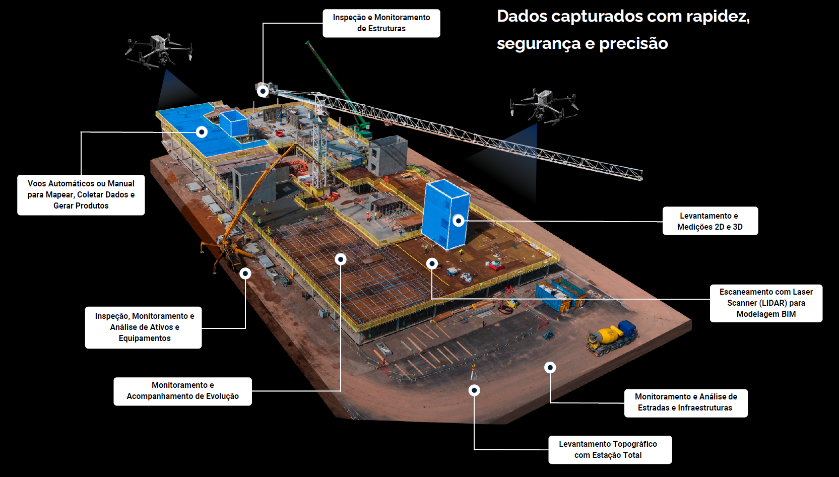
Our integrated inspection, monitoring, and mapping solutions... Geotechnology tools and products are designed to optimize every stage of your project, from initial planning to final inspection.
Reduce rework in construction with 80%. Greater precision, lower costs.
Cost Reduction
Optimizing time, reducing risks, and accurately detecting problems before they escalate contribute to a significant reduction in operational costs.
Enhanced Security
By eliminating the need for workers at dangerous heights or in hazardous environments, our drones minimize accidents and increase safety on construction sites.
Precision and Details
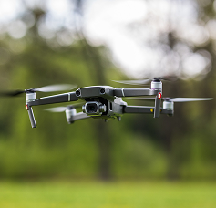
Equipped with high-resolution cameras, our drones capture detailed images and videos. This allows for the precise identification of anomalies, cracks, wear and tear, hot spots in electrical installations, and other structural or performance problems.
Agility and Efficiency
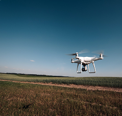
Our aircraft cover large areas quickly, drastically reducing data capture time compared to traditional methods. They can access hard-to-reach locations, such as high rooftops, elevated structures, and uneven terrain, without the need for scaffolding or aerial work platforms.
More Robust Data
The collected information can be processed to create 3D models, topographic maps, point clouds, and digital twins, which are crucial for the planning, execution, and maintenance of projects.
Continuous Monitoring
Our drones facilitate tracking construction progress, managing material inventory, supervising teams, and environmental monitoring, all in real time or with frequent updates.
More effective planning and management at a more attractive cost.
Achieve maximum efficiency and safety in your Architecture and Civil Construction projects with our expertise.
4 PILLARS
We provide highly precise and accurate products, strictly adhering to established technical standards and reference plans. Our competitive advantage rests on four fundamental pillars:
Verification
With our expertise and state-of-the-art equipment, verification takes on a new dimension, enabling analyses that would be time-consuming, dangerous, or even impossible with traditional methods.
When we talk about inspection and mapping services using drones, the topic of Quality unfolds in several layers, all crucial to the success and longevity of projects.
Essentially, it's about ensuring that each stage and each constructed element meets the highest standards of excellence and compliance.
Monitoring is key to the control, safety, and efficiency of any project. When we combine this concept with drone technology and the support of on-site inspections, monitoring becomes a powerful tool, offering a continuous and detailed view of the progress and health of a construction project or asset.
Critical Challenges in Architectural, Engineering, and Civil Construction Projects
The execution of complex engineering and architectural projects often faces barriers that compromise precision, efficiency, and safety. Below, we outline the main challenges arising from the gap between planning and on-site reality, and our solutions to address these challenges:
Discrepancy in Geospatial Data
Our technology captures aerial data with centimeter precision, generating georeferenced orthomosaics and 3D point clouds. These digital products serve as an accurate and reliable database, allowing all project elements to be perfectly aligned with the actual site conditions, eliminating inconsistencies and manual alignment rework.
Discrepancy in Geospatial Data
Our technology captures aerial data with centimeter precision, generating georeferenced orthomosaics and 3D point clouds. These digital products serve as an accurate and reliable database, allowing all project elements to be perfectly aligned with the actual site conditions, eliminating inconsistencies and manual alignment rework.
Discrepancy in Geospatial Data
Our technology captures aerial data with centimeter precision, generating georeferenced orthomosaics and 3D point clouds. These digital products serve as an accurate and reliable database, allowing all project elements to be perfectly aligned with the actual site conditions, eliminating inconsistencies and manual alignment rework.
STRUCTURAL INSPECTION
Critical Challenges in Structural Inspections
Building inspection and monitoring face barriers that compromise efficiency, accuracy, and operational safety. Below, we outline the main challenges of conventional approaches and our solutions to address these challenges:
Solution for Operational Risks and Inefficiency
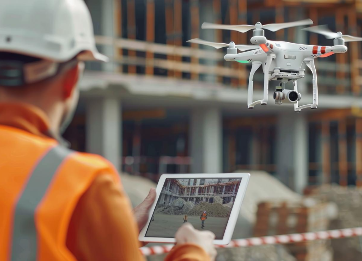
Our aerial inspections eliminate the need for manual rope access or scaffolding. Using drones equipped with high-resolution cameras, we capture complete images of facades, roofs, and elevated structures from a safe distance.
This approach not only protects the integrity of the team, but also reduces inspection time by up to 80%, generating significant savings in operational costs and labor.
Solution for the Lack of Visibility and Standardization of Data
We overcome the limitations of the human field of vision by capturing high-fidelity data of the entire building. Aerial images are processed to generate georeferenced orthomosaics and precise 3D models, which serve as a "digital twin" of your asset. This standardized digital representation... allows:
A complete analysis of the entire structure from a single virtual model.
Identifying cracks, damage, or anomalies in detail.
Continuous monitoring of building conditions for preventive maintenance planning.
The integration of data into asset management systems and technical reports.
With the DRONE & GIS, With this, you gain a complete, secure, and digital view of your structure, transforming inspection into a strategic tool for asset management.
Integrated Solutions for the Project Lifecycle
Our approach is holistic, covering all phases of your project:
Planning and Feasibility Study
Collection of geospatial data for area mapping, terrain analysis, and risk identification.
Design and Execution
Generation of high-fidelity 3D models, progress monitoring, and alignment with BIM (Building Information Modeling).
Inspection and Maintenance
Detailed inspections of structures, detection of anomalies, and monitoring of asset health.
DRONES AND PHOTOGRAMMETRY
We use state-of-the-art drones to capture high-resolution images, processed by cutting-edge photogrammetry software. This allows us to create:
Georeferenced Orthomosaics: Accurate 2D maps, ideal for terrain analysis and planning.
Digital Terrain Models (DTM) and Digital Surface Models (DSM): Detailed 3D representations of the landscape and structures.
High-Density Point Clouds: Three-dimensional data that serve as the basis for 3D modeling, measurements, and volumetric analysis.
PRECISION TOPOGRAPHY
We combine the agility of drones with the precision of traditional surveying, using total stations and GNSS (Global Navigation Satellite System) receivers. Our surveying services include:
Topographic, Cadastral and Planimetric Surveys: Detailed mapping for engineering projects.
Construction Progress Monitoring: Earthmoving monitoring, volume control, and alignment verification.
Georeferencing of Rural and Urban Properties: Guarantee of legal compliance and accuracy in area delimitation.
LASER SCANNER (LIDAR)
LIDAR (Light Detection and Ranging) technology allows us to generate extremely precise point clouds, even in low-light conditions or in environments with dense vegetation. It is the ideal solution for:
As-built and BIM Modeling: Capturing data from existing structures to create accurate digital models.
Facade and Structure Inspection: Detailed surface analysis for detecting deformations or damage.
Monitoring of Movements and Deformations: Monitoring of critical structures, such as bridges and dams.
GEOTECHNOLOGIES AND SPATIAL ANALYSIS
Our Geotechnology solutions integrate all collected data into a robust Geographic Information System (GIS) platform. With this, we offer:
Geospatial Data Analysis: Generation of thematic maps and spatial analyses for project optimization.
Visualization and Collaboration Platforms: Cloud-based 3D data sharing allows the team to view and interact with the project from anywhere.
Integration with CAD and BIM software: Our data is compatible with the main software programs on the market (AutoCAD, Revit, Civil 3D, etc.).
WEB PLATFORM FOR ASSET MANAGEMENT
Our 3D platform integrates everything: from precision aerial maps and ground cameras to data from surveying equipment and even field team notes.
Create a living, interactive digital twin of your industry, accessible to anyone on your team, at any time. Optimize processes, accelerate communication, and make faster, smarter decisions.