Conduct more frequent inspections to identify issues rapidly and maintain your assets with flawless, reliable performance.
The Energy and Utilities sector is undergoing a profound digital transformation. Aerial inspection, combined with the analytical power of Geographic Information Systems (GIS), serves as the cornerstone for optimizing operations, increasing safety, and implementing intelligent asset management.
From power generation to distribution, including water/wastewater and telecommunications, this technological combination provides unprecedented insight into critical infrastructure.
DRONE & GIS aerial platforms provide high-quality, precise data for all inspection and maintenance requirements. The process is carried out safely and efficiently, eliminating operational downtime.
Main Benefits of Using Drones for Inspection and Monitoring in the Energy and Utilities Industry
ENHANCED SAFETY
Protecting Lives and Assets
Safety is our priority. The primary advantage of using drones for inspection and monitoring is the drastic reduction of risk to personnel.
Hazardous tasks, such as climbing transmission towers, inspecting wind turbine blades, or assessing structures in hostile environments, can be carried out remotely, eliminating workplace accident exposure..
Optimisation and Operational Cost Reduction
The savings generated by drone deployment are substantial and multifaceted, directly impacting corporate efficiency and budgets. By replacing traditional methods, this technology enables a remarkable reduction in operational costs. Minimising the need for large field teams optimises labour use and reduces costs associated with daily allowances, logistics, and accommodation.
Furthermore, replacing high-cost equipment like helicopters is a competitive advantage. While helicopter operation and maintenance are extremely expensive and complex, drones offer an agile and far more economical alternative.
SUBSTANTIAL COST REDUCTION AND UNINTERRUPTED OPERATION
PRECISE AND RELIABLE DATA
Superior Quality and Data Analysis
Equipped with advanced sensors (high-resolution cameras, thermal sensors, and LiDAR), our drones capture details impossible to obtain through simple visual inspection. This enables the early detection of anomalies, such as hotspots on solar panels, metal corrosion, or vegetation encroachment.
DRONE & GIS delivers highly reliable technical reports developed by our team of engineers, in addition to providing GIS platforms that utilise Artificial Intelligence to manage assets and enable renewable projects..
DRONES AND GIS: A POWERFUL INTEGRATION
The strategic union between Drone technology and GIS Tools
At DRONE & GIS, experience meets innovation. We combine Drone technology with the power of Geographic Information Systems (GIS) to deliver high-quality, precise services in the Energy and Utilities sector.
The result is a new level of business intelligence, enabling more strategic decision-making and unprecedented operational efficiency, optimising resources and time.
Predictive and Proactive Maintenance
Overlaying data from successive inspections onto a GIS map allows for the identification of trends in asset degradation or vegetation growth..
This transforms the maintenance model from reactive to predictive, preventing interruptions in the power supply..
Smarter Data Analysis
Integration into the GIS platform transforms a simple visual inspection into a detailed spatial analysis..
This allows for the automated detection of anomalies, such as hotspots on solar panels, insulator failures, and structural corrosion.
Creation of Digital Twins
High-resolution data, such as LiDAR point clouds and 3D imagery, create highly precise three-dimensional models of the infrastructure for simulations and remote maintenance planning..
High-Precision Asset Registry and Inventory
The use of high-precision geodetic equipment accelerates and ensures accuracy when registering new assets in the GIS system, guaranteeing the integrity of the geographic database..
Right-of-Way (ROW) Analysis Optimisation
Generation of maps that accurately indicate points where vegetation poses an imminent risk, optimising pruning efforts and ensuring grid safety..
Rapid Emergency Response
In cases of natural disasters, drones quickly assess the extent of the damage..
Images and videos provide enhanced situational awareness in real time for contingency teams..
MAIN SECTORS
Electricity Sector: Generation, Transmission and Distribution
Transmission and Distribution Lines
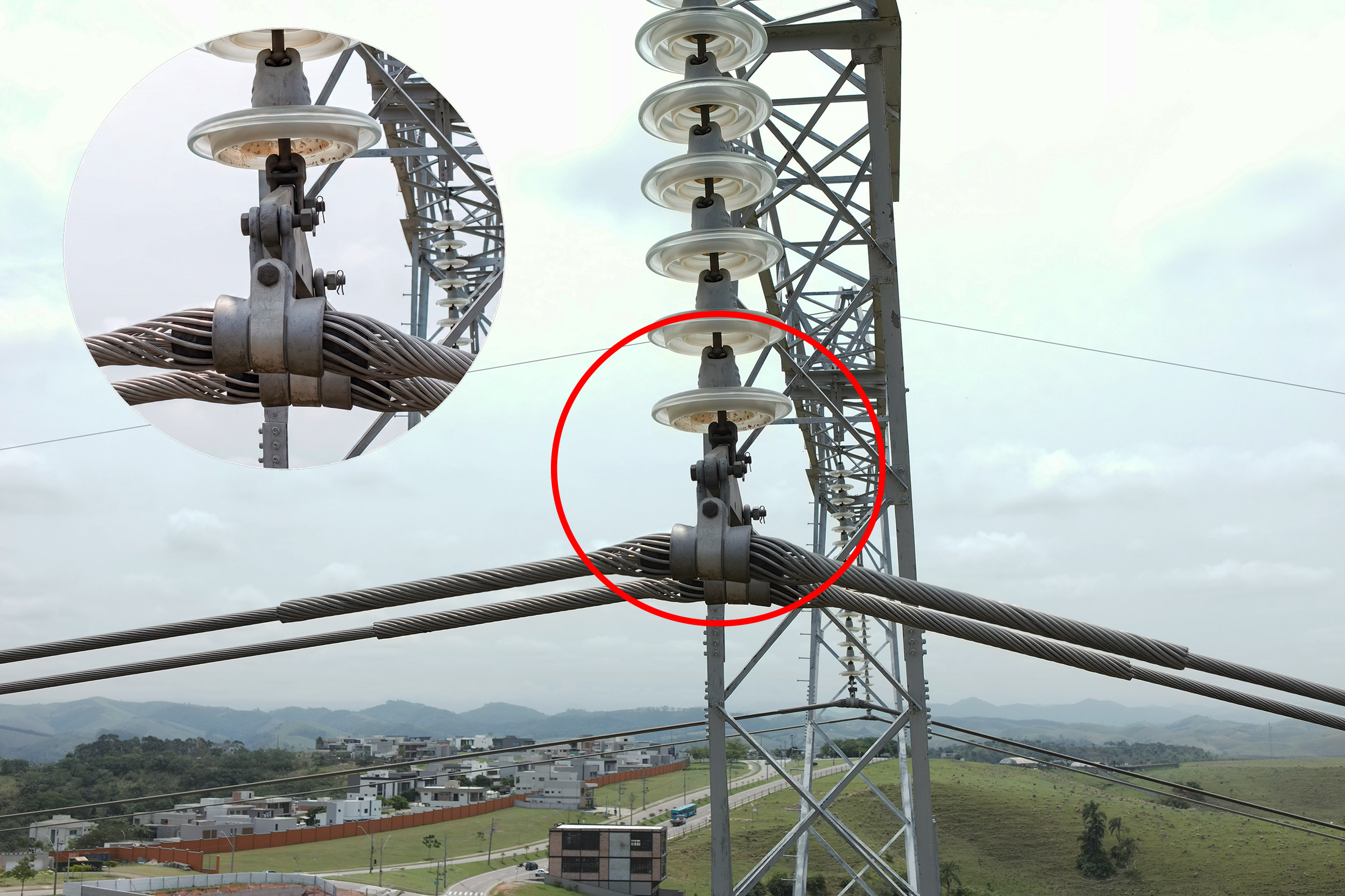
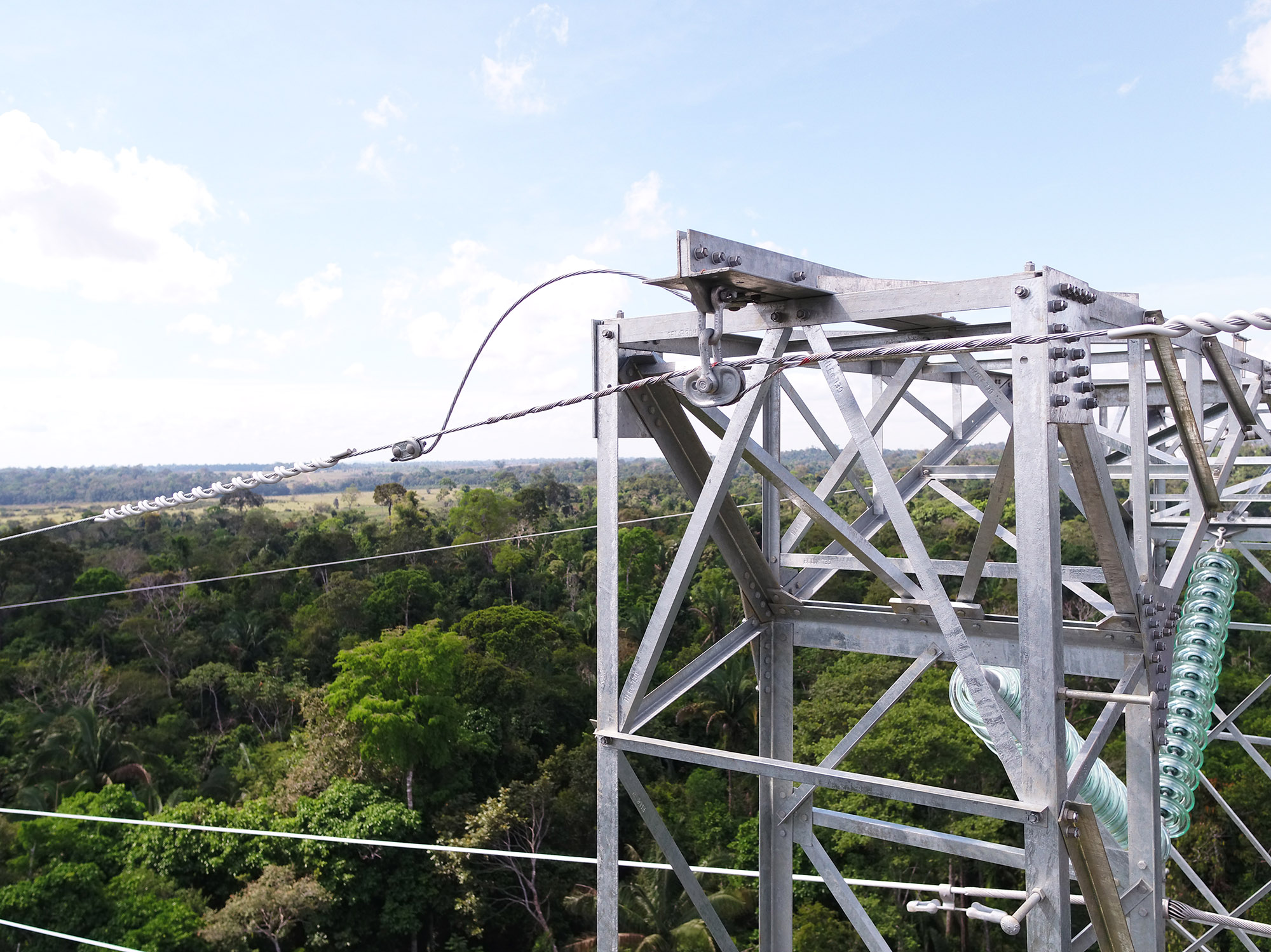
We offer an advanced solution for Power Transmission and Distribution Line assets, based on detailed visual and thermographic inspections of towers, cables, insulators, and connectors. Our Drones equipped with LiDAR sensors map the line corridor, identifying nearby vegetation that poses a contact risk and right-of-way (ROW) violations.
The captured data is georeferenced and integrated into GIS Platforms. This enables us to create a complete digital registry of the network, generate anomaly reports with precise locations, optimally plan vegetation pruning, and monitor the evolution of defects over time.
Solar PV Farms (Photovoltaic Plants)
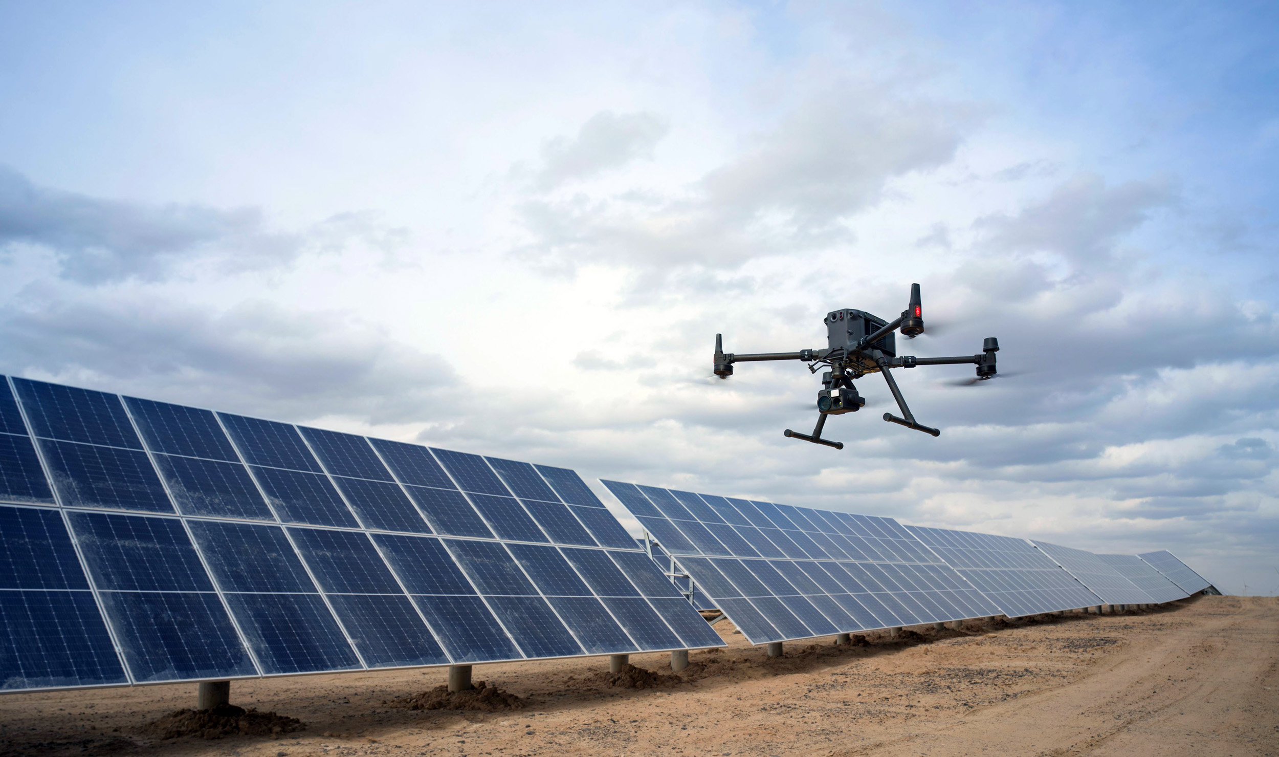
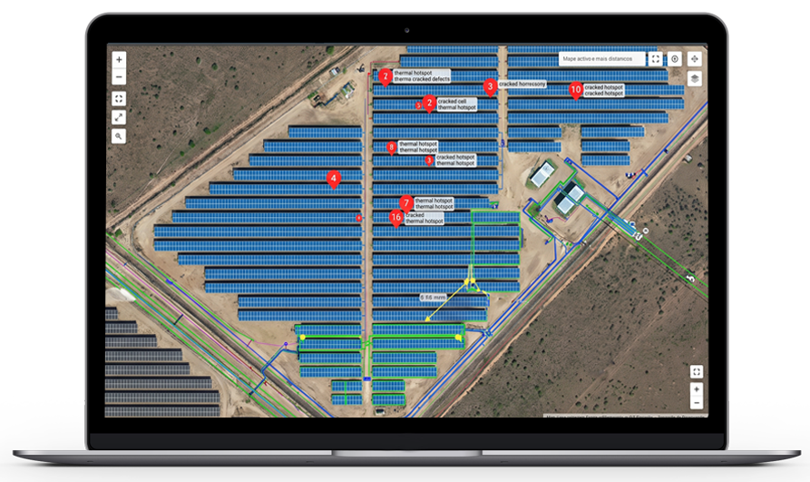
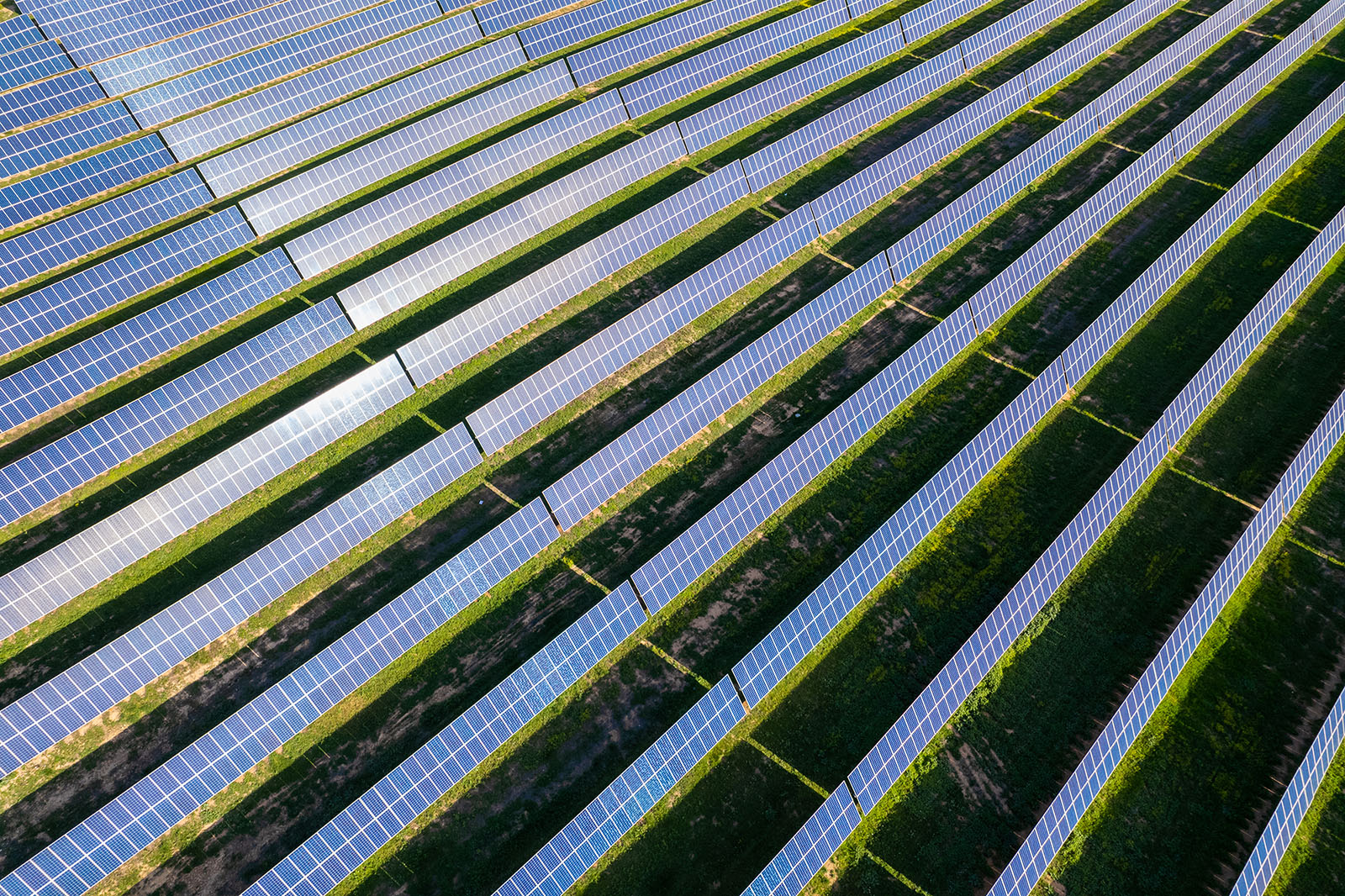
With over 4 million Photovoltaic Modules inspected, DRONE & GIS stands out for offering the most comprehensive diagnostics in this sector. We integrate Aerial and Ground Thermographic Inspections to identify faults in modules, inverters, and all critical components.
Our major differentiator is the application of Aerial Photogrammetry and GIS Tools. We map the exact location of each defective panel on a georeferenced platform, drastically optimising the work of field maintenance teams. Furthermore, historical data analysis enables the identification of failure trends, resulting in smarter and more predictive asset management.
Wind Farms
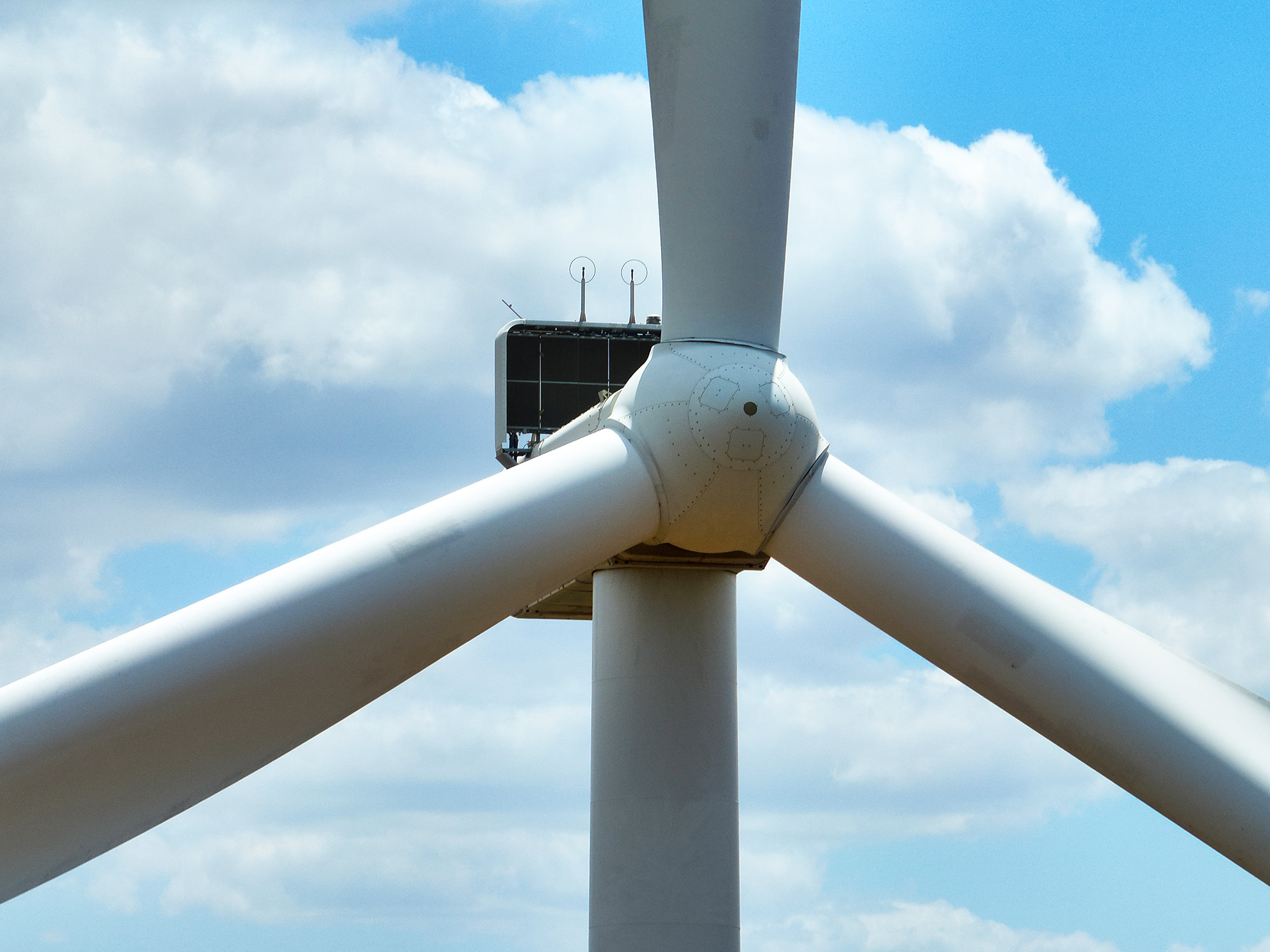
Improve the performance and integrity of your wind turbines with our advanced inspection technology.
Our Drones, equipped with high-resolution sensors (RGB, thermal, and LiDAR), accurately detect critical anomalies on the blades and tower, from cracks and erosion to structural faults.
The major differentiator lies in our GIS platform: we transform inspection data into an intelligent map, pinpointing the exact location of each defect.
The result is faster and more efficient maintenance, predictive planning, and fully optimised asset management through interactive reports and dashboards.
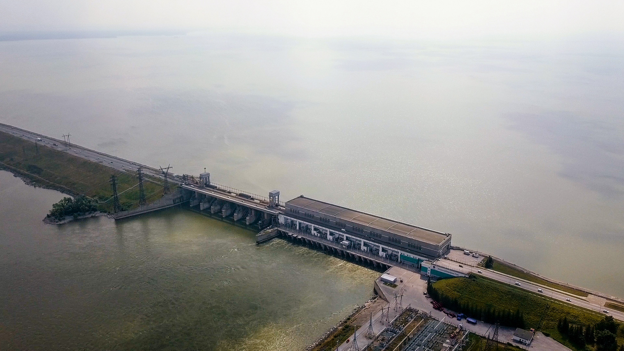
Hydroelectric Power Plants
With the integration of our Drones and GIS Tools, we offer a robust solution for monitoring and inspecting these complex assets, delivering significant gains in safety, cost, and data quality through the following services and products:
Dam and Concrete Structure Inspection;
Reservoir and Catchment Monitoring;
Inspection of Components and Adjacent Structures;
Environmental and Geotechnical Monitoring;
Creation of Digital Twins and Asset Management;
Mapping and Historical Analysis of Pathologies;
Risk Analysis and Emergency Action Plan;
Environmental Monitoring and Compliance Reporting.
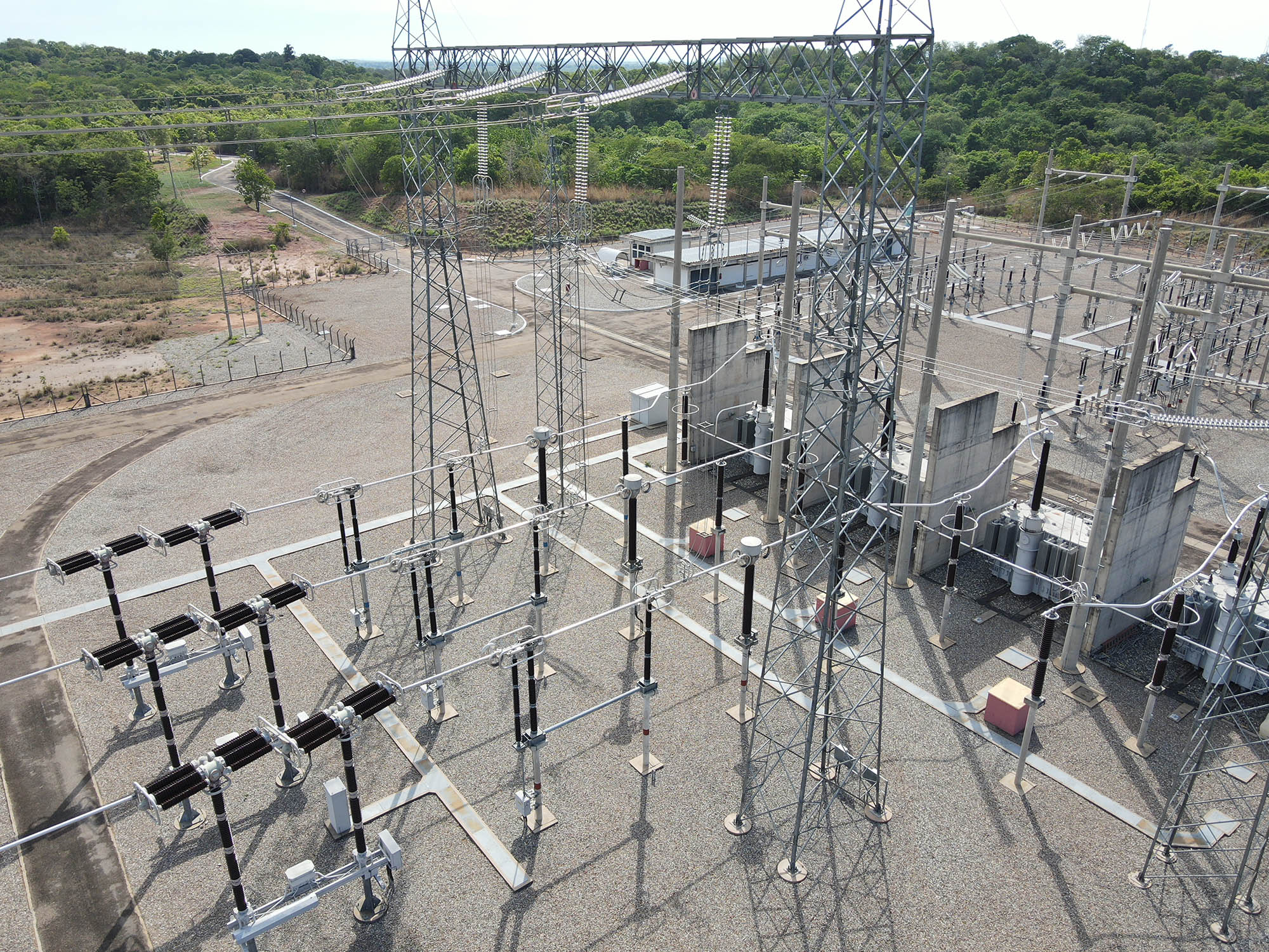
Power Substations
DRONE & GIS elevates safety by eliminating the need for power outages through the inspection and monitoring of Electrical Substations with Drones. Equipped with thermal and high-resolution sensors, the Drones detect hotspots on connections, insulator failures, and structural corrosion.
We integrate the collected data into GIS Tools, creating precise Digital Twins of the site. The GIS platform maps the exact location of each anomaly, optimising the generation of work orders and team planning. This technological synergy enables the transition to predictive maintenance, reducing the risk of blackouts and maximising operational efficiency.
Utilities Sector: Water/Wastewater and Telecommunications
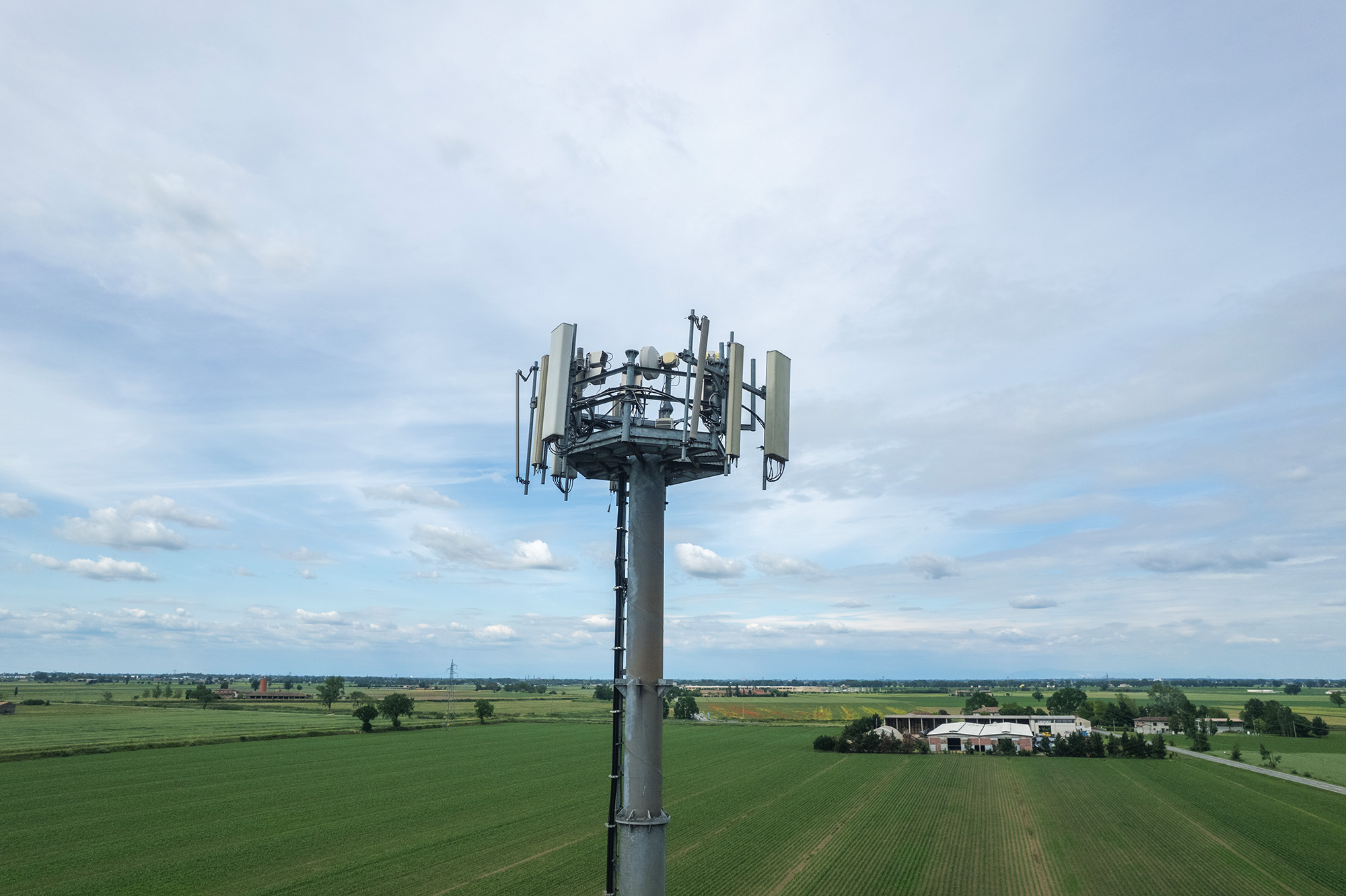
Telecommunications
Inspecting Telecommunications Infrastructure with Drones revolutionises asset management, increasing safety by eliminating tower climbs. Our team uses Drones with specific sensors to conduct detailed structural surveys on Base Transceiver Stations (BTS) and precise equipment audits. A key service is the creation of 3D Digital Twins, essential for colocation analysis, allowing engineers to remotely plan the installation of new antennas (5G). They also verify the alignment of existing antennas, directly impacting network quality.
All data is integrated into a GIS platform, functioning as a central management hub. Within the GIS, engineers use the Digital Twins to swiftly approve projects, optimising network expansion and maintenance.
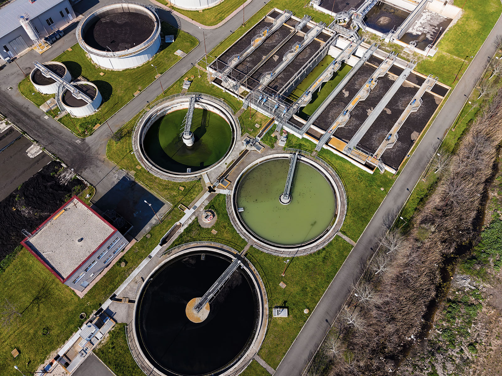
Water and Wastewater
DRONE & GIS transforms asset management in the Water and Wastewater sector. Our inspections monitor water sources, detect leaks in water mains using thermography, and analyse the structural integrity of Water and Wastewater Treatment Plants (WTP/WWTP) with maximum safety and precision.
This data is processed in our GIS platform, which creates an intelligent map of the network and serves as a powerful tool to reduce non-revenue water loss by combining multiple information sources to pinpoint leaks.
Our technology ensures environmental compliance, optimises maintenance, and results in more proactive and efficient water resource management.
How We Can Help
Get in touch and schedule a consultation with our experts; it will be a pleasure to assist you!