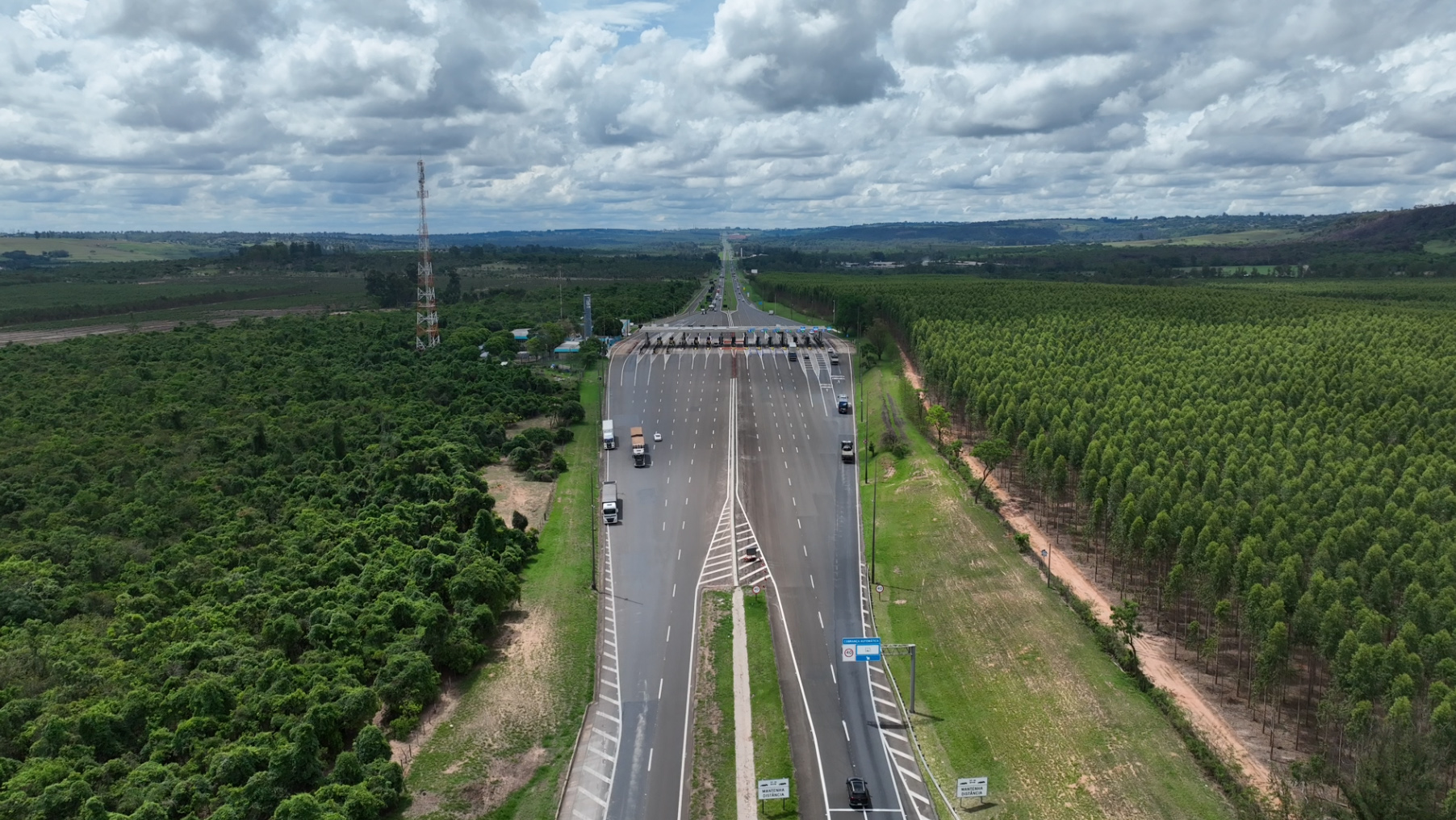
Our methodology ensures that complex data is converted into secure corporate decisions, adhering to stringent global standards of quality and technical compliance.
SURVEY
Methodology and Data Acquisition: Precision and Visual Reality
At DRONE & GIS, we deliver high-precision aerial surveying solutions through advanced workflows that integrate digital photogrammetry, artificial intelligence, and specialised technical rigour. Our approach to RGB sensors focuses on capturing reality with centimetre-level clarity, ensuring that scale and accuracy perfectly meet the most demanding global requirements in engineering, architecture, and mining.
To facilitate infrastructure projects with maximum visual fidelity, we operate a robust technological ecosystem that combines::
High-Resolution RGB Sensors: Utilisation of large-format professional cameras that capture colours and textures with extreme precision, enabling the generation of crisp orthomosaics and highly detailed three-dimensional (3D) models..
Geodetic Positioning Technology: Operation with state-of-the-art drones integrated with dual-frequency GNSS systems (RTK/PPK) and ground control using Total Stations, ensuring millimetre-level georeferencing precision and absolute cartographic reliability..
Intelligence in Photogrammetry: Data processing on cutting-edge platforms, utilising computer vision algorithms to transform thousands of aerial images into dense point clouds, and high-fidelity Digital Terrain Models (DTM) and Digital Surface Models (DSM)..
WHAT SETS US APART
Cutting-edge technology
We utilise Total Stations, laser scanners, high-precision GNSS receivers, and state-of-the-art Drones.
Precision and Reliability
Our services strictly adhere to international technical standards, ensuring highly reliable data..
Experienced Team
We have a multidisciplinary team composed of specialist engineers and technicians with vast industry experience..
Agile Delivery
We optimise our operational workflows to deliver rapid results without compromising technical excellence..
Bespoke Service
We understand the needs of each client to offer the most appropriate and economically viable corporate solution..
RGB SENSORS FOR SURVEYING
High Definition and Geospatial Precision
Aerial surveying with RGB sensors utilises high-resolution cameras mounted on Drones to capture the environment in true colour, exactly as human vision perceives space. This technology is the foundation for creating Digital Twins of industrial assets and terrain, enabling an intuitive and strictly technical visual interpretation of reality.
Efficiency and Technical Superiority
Unlike traditional ground-based topographic surveying techniques, drone mapping offers unparalleled agility and the ability to operate in hard-to-reach or highly complex locations. In a short timeframe, we deliver detailed measurements and precise data, ensuring a cost-benefit ratio and operational safety far superior to conventional methods.
Rigour and High-Performance Deliverables
At DRONE & GIS, we raise the standard of RGB surveying through rigorous quality control, ensuring that the precision and accuracy of the data meet the most demanding requirements of civil engineering and infrastructure. We transform aerial imagery into a series of intelligent cartographic products:
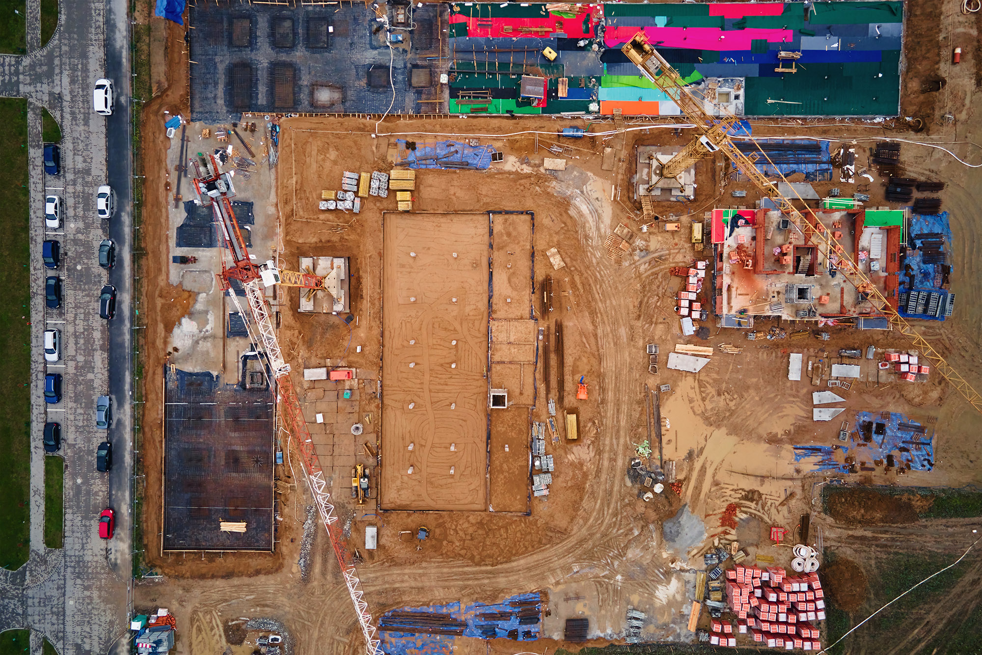
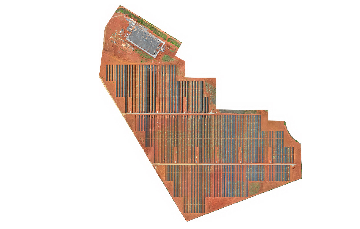
Georeferenced Orthomosaics: Ultra-high resolution planar images for direct and precise measurements..
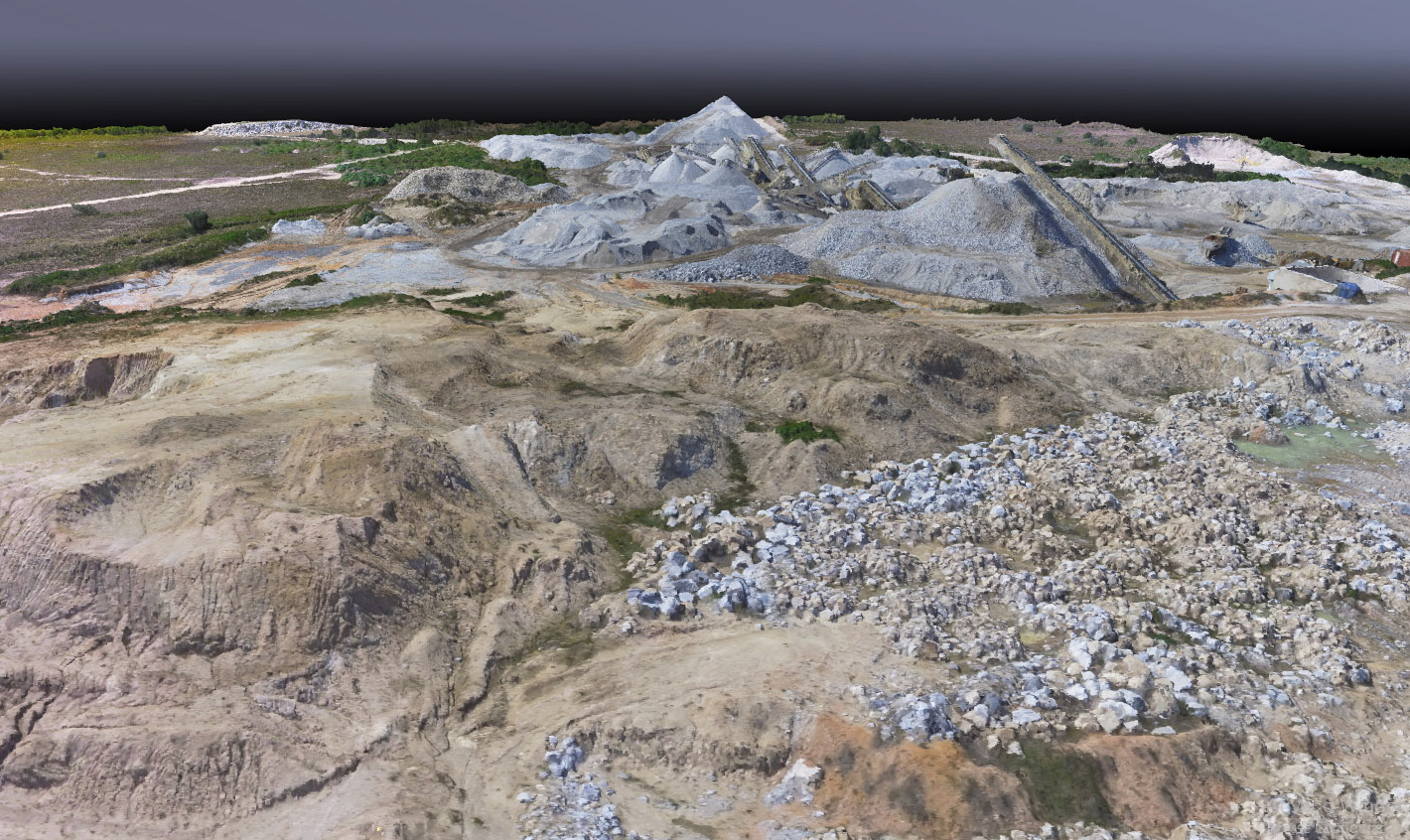
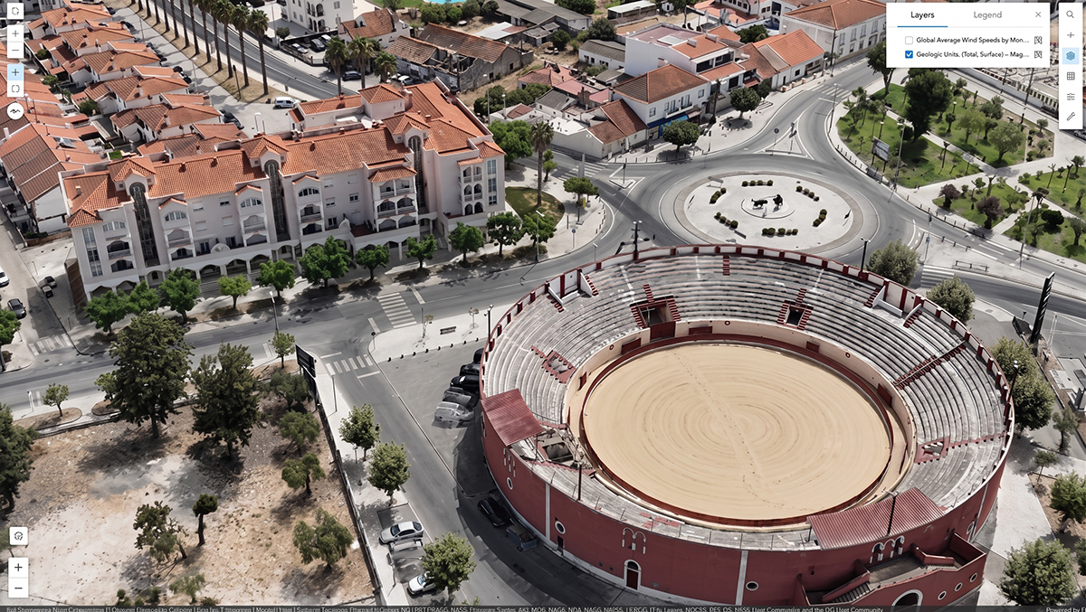
3D Models and Point Clouds: Detailed volumetric visualisation of structures and terrain..
Digital Models (DSM and DTM): Exact representation of the surface and bare earth..
Contours and Topographic Plans: Essential and reliable basemaps for engineering projects and environmental licensing processes.
Strategic Applications of RGB Surveying
Surveying with RGB sensors is the foundation for creating Digital Twins and serves as a fundamental support across various phases of engineering projects and large infrastructure works.
At DRONE & GIS, we apply this technology to generate value in critical sectors:
Engineering and Civil Construction
Construction Progress Monitoring: Periodic visual records for the rigorous tracking of schedules and physical evolution..
As-Built Surveys: Precise documentation of the current state of the works for direct comparison with the original executive design..
Site Planning and Layout: Optimisation of logistics and land use across large active work fronts.
Mining and Metallurgy
Volumetric Calculations Precise volume measurement of stockpiles and pit surveying with speed and safety.
Slope Monitoring: Visual identification of instabilities and erosion in at-risk areas.
Asset Management: Detailed mapping of industrial plants and supporting infrastructure.
Energy and Utilities
Visual Inspection of Assets: Identifying anomalies in transmission lines, towers, and substations. energy.
Mapping of Right-of-Way Strips: Control of land use and vegetation in logistics and energy corridors.
Site Plans: Updated cartographic database for licensing and network expansion. operational.
Environment and Urban Planning
Real Estate and Land Registry:Support for land regularisation and the updating of urban cadastral databases.
Environmental Diagnosis: Identification of protected areas, vegetation suppression, and impact monitoring.
Urban 3D Modeling: Creating models for studies of shading, ventilation, and visual impact.
Transport and Logistical Infrastructure
Airports and Ports: Surveying of aprons, runways, and terminals for asset management and operational safety, ensuring centimetre-level precision in critical, high-traffic areas..
Railways and Highways: Inspection of right-of-way areas, monitoring of pavement integrity, and identification of points of concern along large linear stretches..
Logistics Asset Management: Visual inventory of transport infrastructure to directly support preventive maintenance and expansion projects..
Precision Agriculture
Land Grading and Levelling: Development of contour line, drainage, and planting planning projects based on precise altimetric models.
Crop Monitoring: Identification of planting gaps, stand counting, and vegetation health analysis using RGB-based indices (such as VARI).
Rural Land Management: Surveying of boundaries, internal roads, and support infrastructure to optimise field logistics.
How We Can Help
Get in touch and schedule a consultation with our experts; it will be a pleasure to assist you!