Discover advanced solutions for data generation, products, and analysis applied to GIS. Planning and managing the needs of the Mining and Aggregates sector.


In DRONE & GIS, We transform aerial data into strategic intelligence. We specialize in capturing, processing, and analyzing geospatial information, offering solutions that optimize operations and ensure safety.
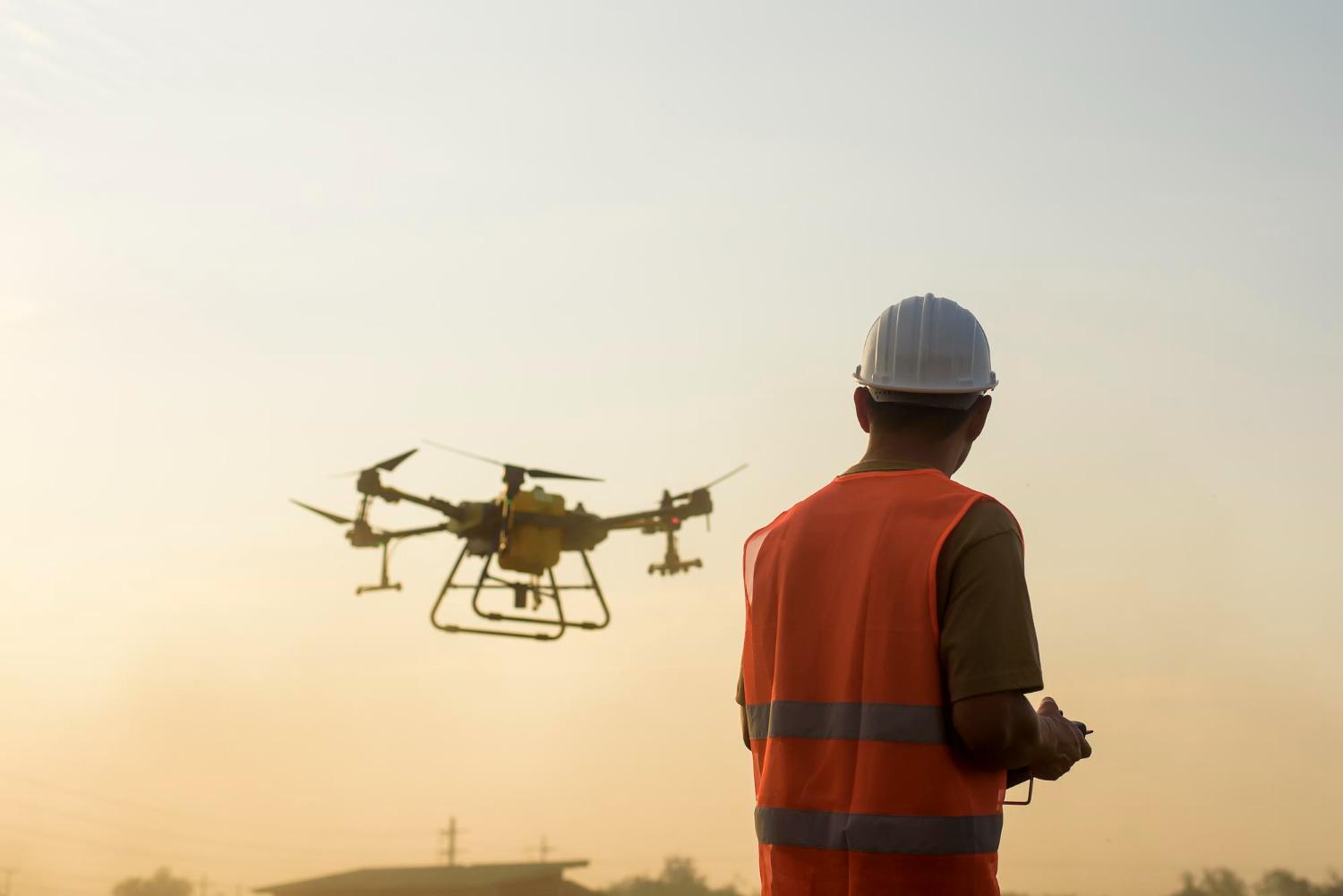
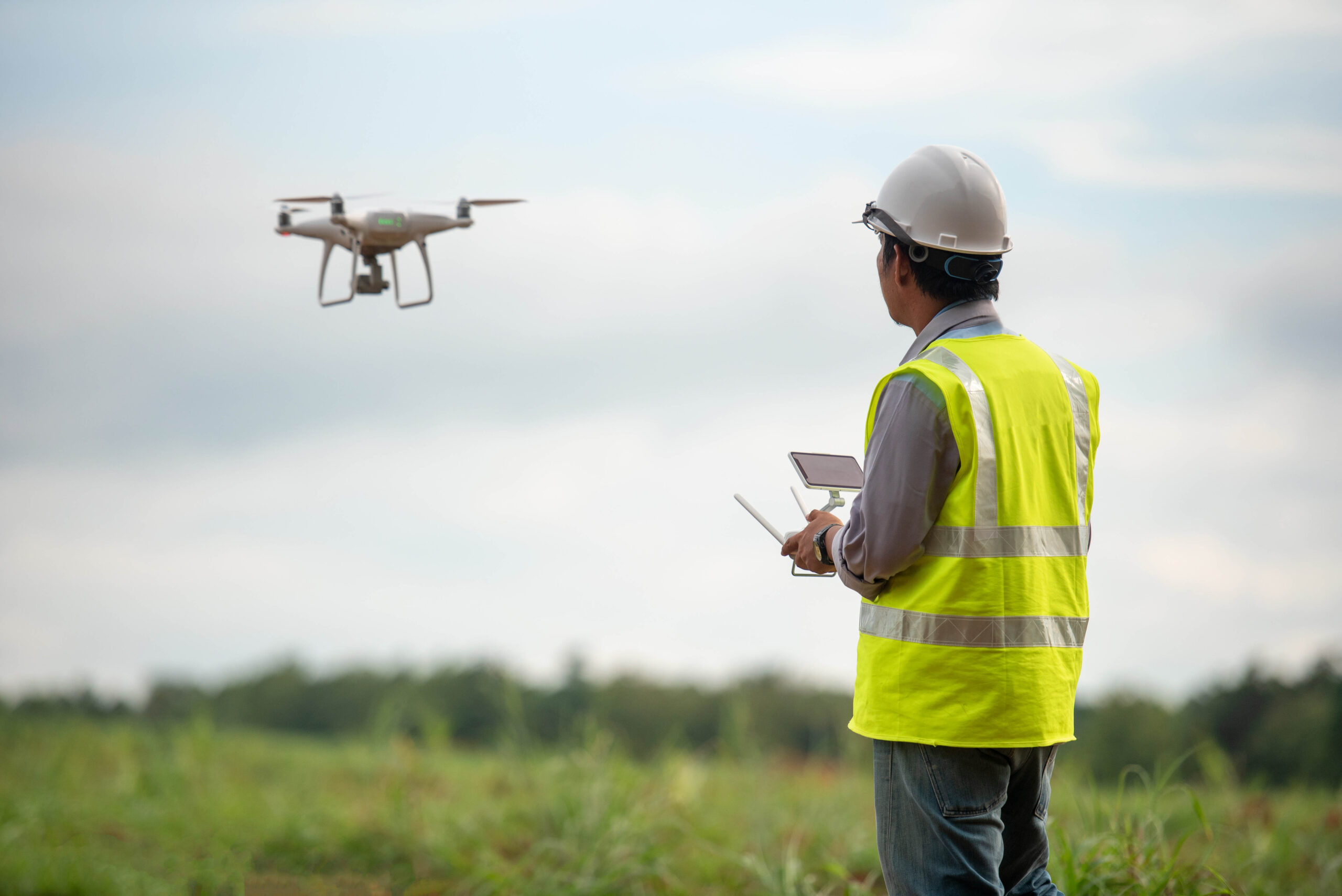
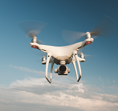
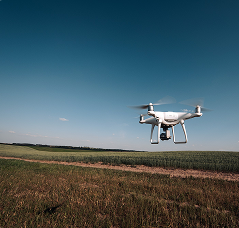
We utilise We utilise cutting-edge drones to conduct High-Precision Mapping, Inspections, and Monitoring. with cutting-edge technology to perform High-Precision Mapping and Monitoring. Our flights are meticulously planned to collect aerial data quickly and efficiently, ensuring the creation of detailed and reliable maps.
Precise measurements of areas, distances, and volumes are essential for project planning and management.
Gain a complete and up-to-date view of your assets and locations, enabling agile decision-making and immediate security assessment.
Surveys that traditionally take days or weeks are completed in just a few hours, thanks to the onboard technology of our drones, reducing costs and speeding up your schedule.
Intelligent and Automated Inventory Management
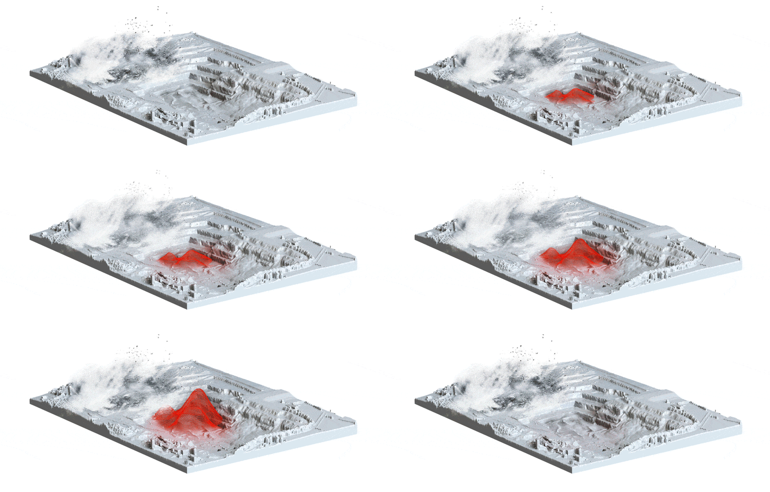
Utilize our advanced inventory measurement tool to completely transform the way you manage your assets. This solution automates end-to-end inventory control, eliminating slow and inaccurate manual processes and consequently significantly reducing operational and labor costs.
With the highest quality and accuracy of data rigorously guaranteed by the experienced team of experts at DRONE & GIS, The solution offers much more than just numbers, providing strategic benefits for your business.
Visual Management of Safety and Operational Compliance
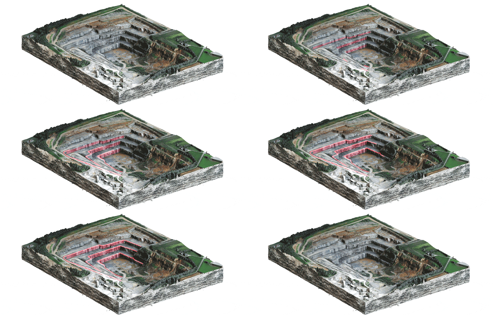
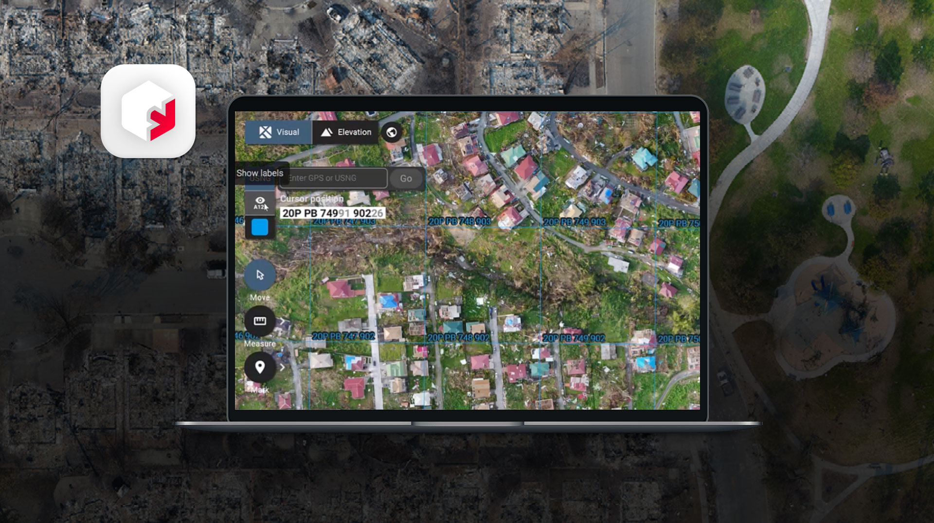
The integration of aerial surveys using drones optimizes safety management and operational compliance by providing unified, high-precision digital mapping. This technology allows for the monitoring of critical structures, such as slopes and retaining walls, directly on high-resolution topographic maps, facilitating the identification and proactive mitigation of risks through color-coded visual alerts.
As a result, the solution ensures strict compliance with regulatory standards, avoids fines, reduces downtime, and supports faster and more assertive decisions to protect the entire operation.
Intelligent Management and Topographic Monitoring of Access Roads
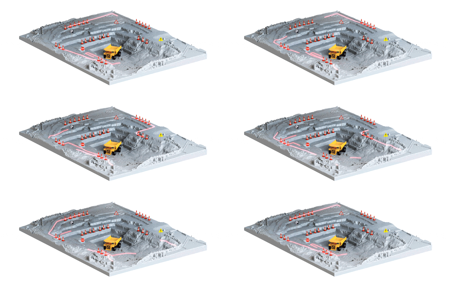
Continuous monitoring of transport routes through aerial surveys automates the extraction of vital topographic data, such as slope, width, and elevation of roads. This spatial intelligence allows for the rapid identification of traffic bottlenecks, drainage failures, and degraded surfaces that hinder machinery.
With annotation and sharing features, the tool integrates field and engineering teams, ensuring faster maintenance, greater operational safety, and reduced logistics costs.

The use of drones for inspection and mapping eliminates the need to expose teams to high-risk environments, such as steep slopes, recently demolished areas, and the vicinity of heavy equipment in operation. DRONE & GIS enables remote and detailed monitoring, identifying potential geomechanical faults and ensuring a significantly safer work environment.
Inventory control is crucial for the financial management of mining and quarrying companies. Using drones, DRONE & GIS performs stockpile surveys quickly and with very high precision. The collected data generates 3D models that allow for exact and auditable volumetric calculations, optimizing sales planning, logistics, and production control.
Aerial Topographic Surveys provide up-to-date, high-resolution data of the entire mine or quarry area in a fraction of the time of traditional methods. This information, processed and integrated into a GIS environment by DRONE & GIS, allows engineers and managers to make more informed decisions regarding mining progress, equipment placement, access road planning, and waste management.
Drone & GIS technology is a powerful tool for continuous environmental monitoring. It is possible to assess areas for remediation, monitor the stability of tailings dams, detect erosion processes, and track changes in vegetation. The generation of detailed thematic reports and maps facilitates proof of compliance with environmental regulations and strengthens the company's sustainability practices.
Efficiency in data collection translates directly into cost reduction. Decreased field time, optimized equipment use, and prevention of workplace accidents generate significant savings. Furthermore, the availability of accurate and up-to-date data allows for more effective planning, resulting in an overall increase in productivity and profitability of the operation.
The key differentiator of DRONE & GIS lies in its ability to transform raw aerial data into business intelligence. By integrating the information collected by drones into a Geographic Information System (GIS), the company centralizes topographic, geological, and operational data on a single platform. This provides a holistic view of the project, facilitating complex spatial analyses and supporting long-term strategic planning.
Our technology delivers accurate topographic data quickly and in a consolidated manner, eliminating the need for long and costly field trips. The result? Faster analysis, smarter decisions, and a significant reduction in operational costs.

We accurately map the most complex and elevated areas of your operation. We deliver highly precise data with unquestionable consistency, regardless of geographical challenges.
Through frequent remote inspections, we deliver a comprehensive view of mine conditions, enabling early detection of anomalies and continuous protection of both your team and your assets.
Our 3D platform integrates everything: from precision aerial maps and ground cameras to surveying equipment data and even field team notes. Create a living, interactive digital twin of your industry, accessible to anyone on your team, at any time. Optimize processes, accelerate communication, and make faster, smarter decisions.