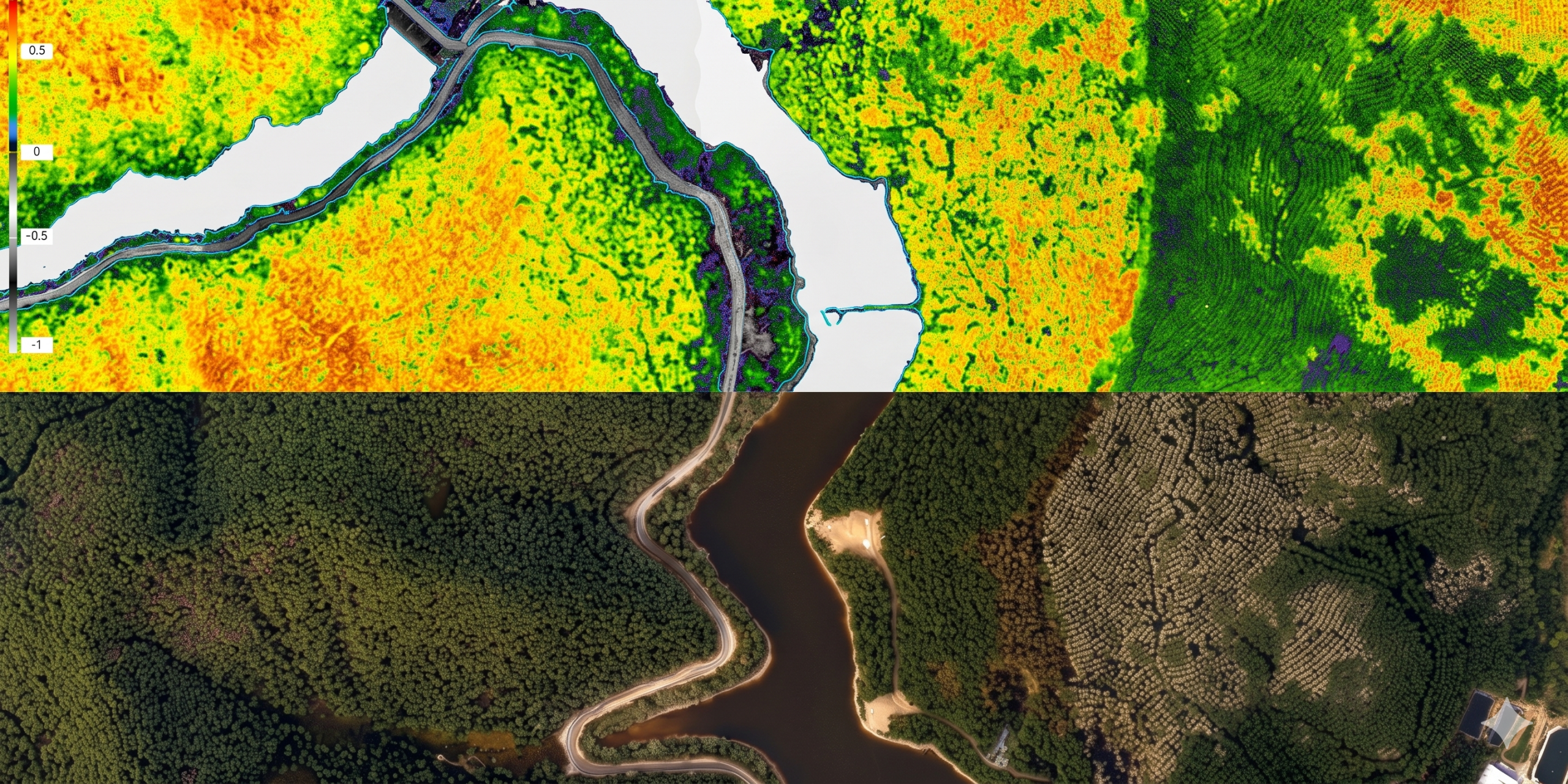
We transform multispectral data into precise indices for the exact diagnosis of your operational area.









We combine our global geospatial expertise with advanced multispectral technology to convert complex data into secure decisions. We guarantee full technical compliance with international standards and maintain rigorous quality protocols in the generation of agronomic and environmental indices.
At DRONE & GIS, we deliver high-precision multispectral surveying solutions through advanced workflows that integrate radiometric sensors, artificial intelligence, and photogrammetric rigour. Our methodology is designed to convert complex spectral data into strategic information, ensuring that scale and accuracy perfectly meet the global demands of precision agriculture, forestry, and environmental management.
To facilitate in-depth diagnostics and the monitoring of biological assets, we operate a cutting-edge technological ecosystem that combines:
High Spectral Resolution Sensors: Strategic integration of airborne multispectral sensors and orbital data to capture fundamental bands, such as Red Edge and Near Infrared (NIR) . This approach allows for the analysis of vegetation health and the early detection of anomalies invisible to the naked eye .
Technology and Geographic Precision: Operation with specialised drones and dual-frequency GNSS systems (RTK/PPK) to ensure ultra-high precision georeferencing. We utilise stringent radiometric calibration protocols to guarantee that the collected data is consistent and comparable over time.
Processing Intelligence and AI: Optimised workflows on advanced geospatial platforms. We apply artificial intelligence algorithms to generate vigour indices (NDVI, NDRE, SAVI), perform automated stand counting, and classify land use, delivering high-fidelity cartographic products with significant managerial value.
Raw data is processed to generate indices that quantify the biophysical properties of the plant:
Measures plant vigour and biomass, making it ideal for the general monitoring of crop health..
Focused on optimising agricultural analysis, it enables advanced diagnostics that result in substantial savings of time, resources, and the optimisation of field labour..
Fundamental for areas with low vegetative cover, minimising the interference of exposed soil.
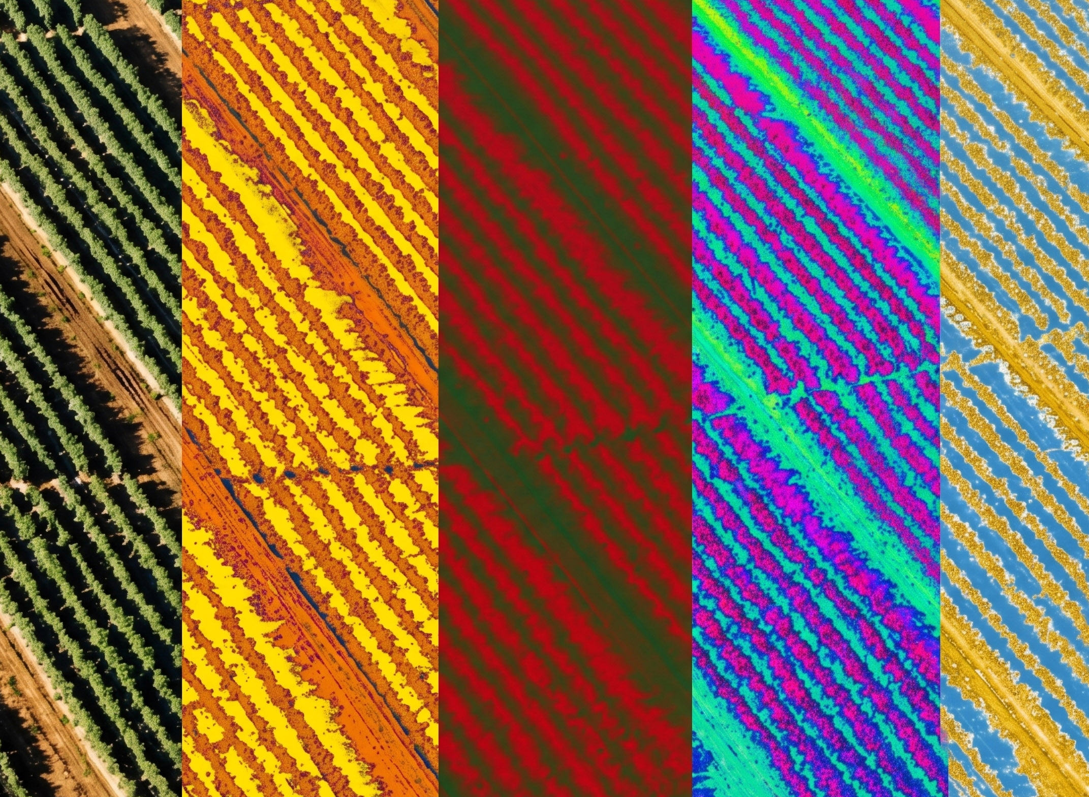
Aerial surveying with multispectral sensors utilises advanced multi-band cameras to capture radiometric signatures imperceptible to the human eye. This technology allows for the early diagnosis of vegetation health and detailed soil analysis, transforming invisible data into strategic geographic intelligence for agriculture, forestry, and environmental management.
Unlike visual inspections or manual sampling methods, drone-based multispectral surveying provides a comprehensive and scientific overview of the area. In a fraction of the time, we identify water stress, nutritional deficiencies, and pests before the damage becomes visible or irreversible. This anticipatory capacity ensures a drastic reduction in the use of inputs and operational security far superior to conventional methods.
At DRONE & GIS, we raise the standard of remote sensing through rigorous radiometric and geometric calibration control. We ensure that the data accurately reflects the reality in the field, meeting the technical requirements of environmental consultancies and major global agribusiness players.
We transform multispectral data into a series of high-fidelity analytical products::
Vegetation Indices (NDVI, NDRE, SAVI): Vegetative vigour and biomass maps for precise plant health diagnostics.
Management Zoning and Variable Rate: Generation of shapefiles for localized application of fertilizers and pesticides.
Planting Failure Maps and Crop Rows: Automated identification of production gaps and counting of individuals.
Analysis of Water and Nutritional Stress: Detection of thermal and biophysical anomalies that indicate the need for intervention.
High-Precision Digital Surface Models (DSMs): Support for drainage and topography analysis in agricultural and forestry areas.
Our drones operate with 4 to 6 discrete band sensors, rigorously calibrated with incident light (irradiance) sensors.
This international-level calibration ensures that images captured on different days are directly comparable, enabling time-series analyses with the utmost reliability for your business..
The versatility of multispectral surveying allows for its application across various critical domains. Below, we detail the primary use cases where the robustness of this technology generates tangible value.
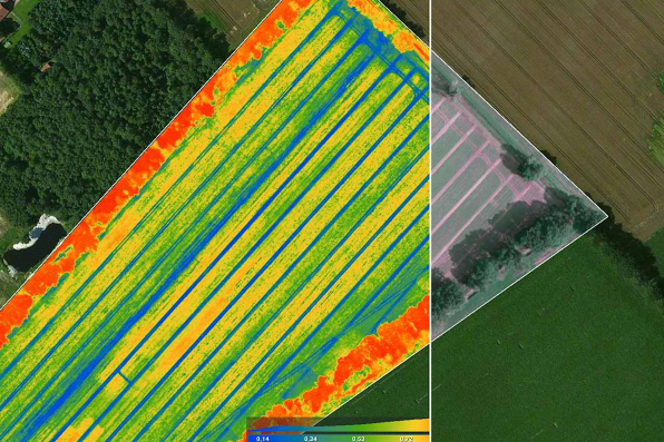
Agribusiness is the sector that most leverages multispectral surveying to optimise productivity and sustainability.
Monitoring of Plant Vigor and Health (NDVI/NDRE): We generate maps that provide early detection of areas experiencing nutritional or water stress, or pest and disease infestations..
Variable Rate Application and Zoning Management: We create prescription files for agricultural machinery, enabling the localized application of fertilizers and pesticides.This accelerates the reduction of operational costs and minimizes environmental impact..
Automated Counting and Fault Identification: We use advanced algorithms to automate the counting of plants and identify planting failures in record time, enabling effective replanting..
The technology democratises access to critical data for the conservation and restoration of natural resources..
Identification of Degraded Areas and Erosion Risk: Detailed maps reveal anomalies in the soil and vegetation that indicate degraded areas, early-stage erosion processes, or excessive compaction..
Monitoring of Preservation Areas:: We track the development of environmental conservation areas, providing technical evidence and data in compliance with global sustainability legislation..
Water Body Analysis: We detect anomalous patterns in water colour and reflectance that may indicate eutrophication processes, sedimentation, or effluent contamination..
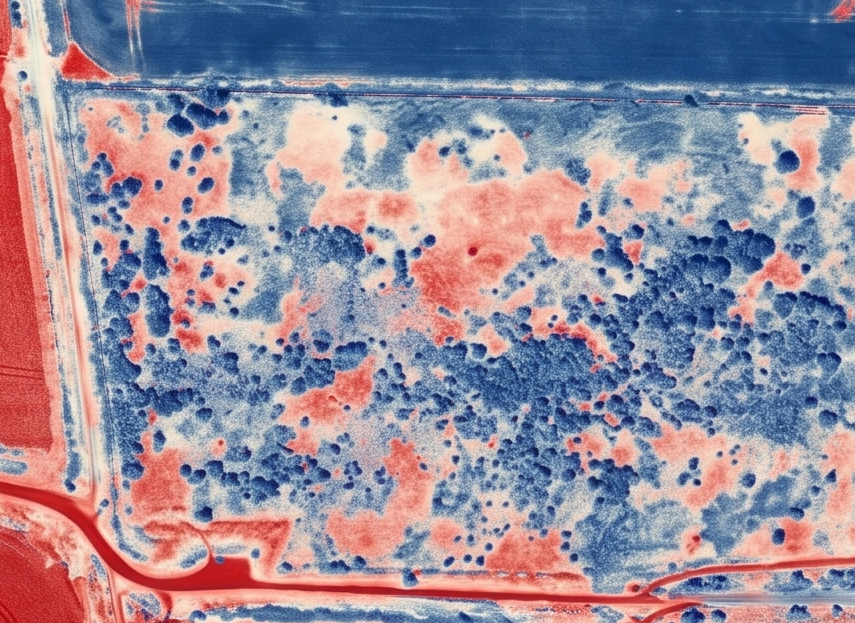
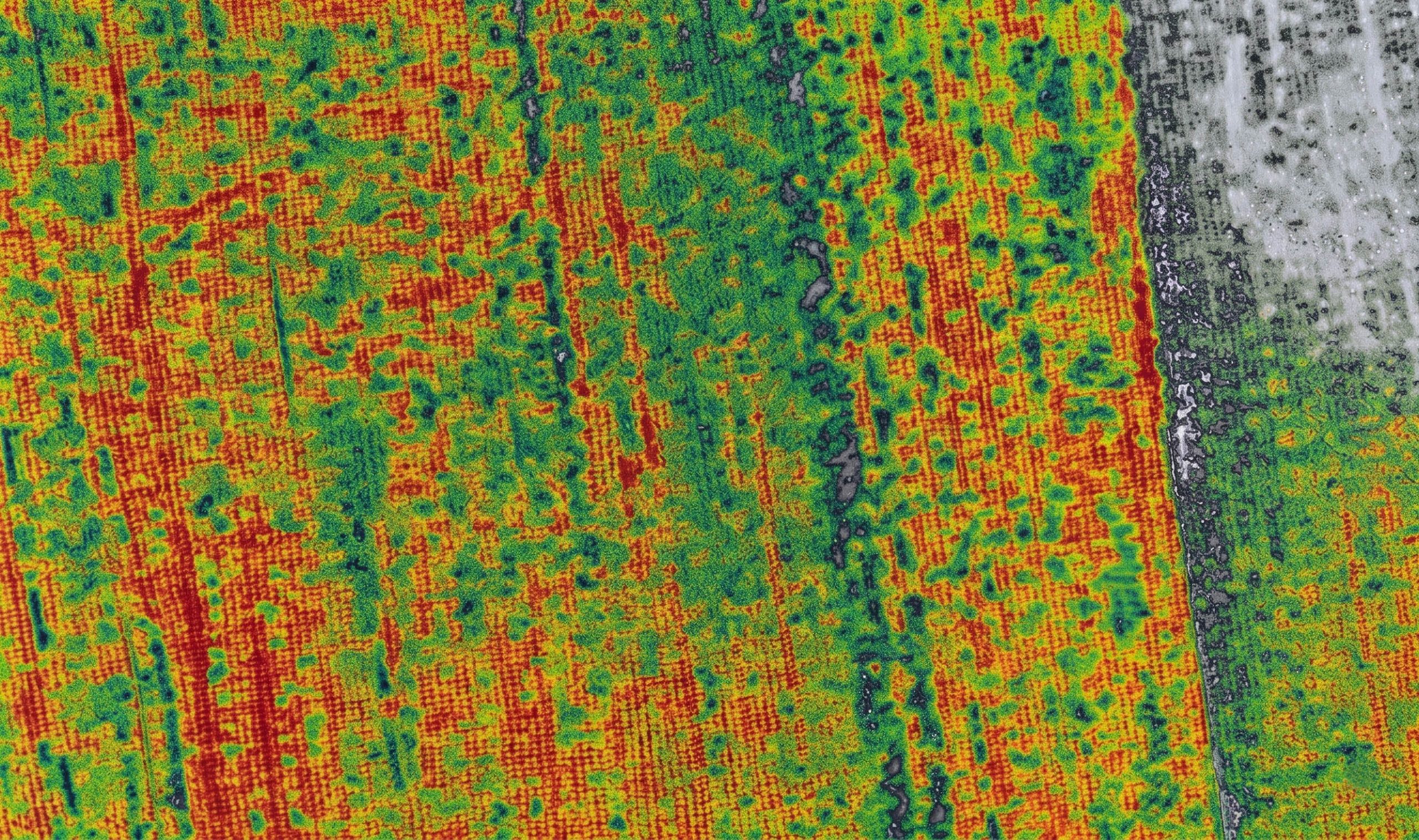
In large-scale forestry, precision and scalability are fundamental..
Advanced Forest Inventory: We optimise inventory processes by mapping species distribution, estimating biomass volume, and identifying the vigour of individual trees..
Quality Control in Replanted Areas: We assess the health and vigor of seedlings in reforestation areas, generating accurate reports on survival and growth rates..
Multispectral drone surveying transcends the simple capture of imagery; it is about generating a robust corporate geospatial knowledge base. This technology empowers your operational and strategic decision-making, replacing intuition with empirical data of centimetre-level accuracy. Accelerate your company's digital transformation with the most advanced geographic intelligence on the market.