Capturing millions of data points to create high-precision 3D models. The definitive solution for topographical surveys, complex inspections, and the exact digitisation of your physical assets.
This technology is based on laser detection and scanning, using near-infrared pulses that are invisible to the human eye. In this way, it enables the measurement of distances between objects and the detailed mapping of the surrounding environment. As it is an active sensor, the pulses hit the target and some of the light is reflected back to the equipment, estimating the pulse return time to accurately determine the object's distance.
The data obtained is converted into georeferenced positional information, making it possible to generate a point cloud with three-dimensional coordinates using GNSS systems attached to the terrestrial equipment or the drone being used. Each laser scanning method and equipment has its specific application, but they all share high-level operational characteristics, such as:
Technology, Precision and Georeferencing
Speed
Capturing large territorial areas and complex infrastructures in a substantially shorter time..
Integration
The final products offer high interoperability with BIM and CAD tools..
Precision
Capturing reality with the precision that engineering projects demand.
Cost-benefit
Reduction of the company's operational costs, as it eliminates the need for large teams deployed in the field..
Industry
An appropriate solution for fragile structures and hazardous terrain, operating without direct risk to operators..
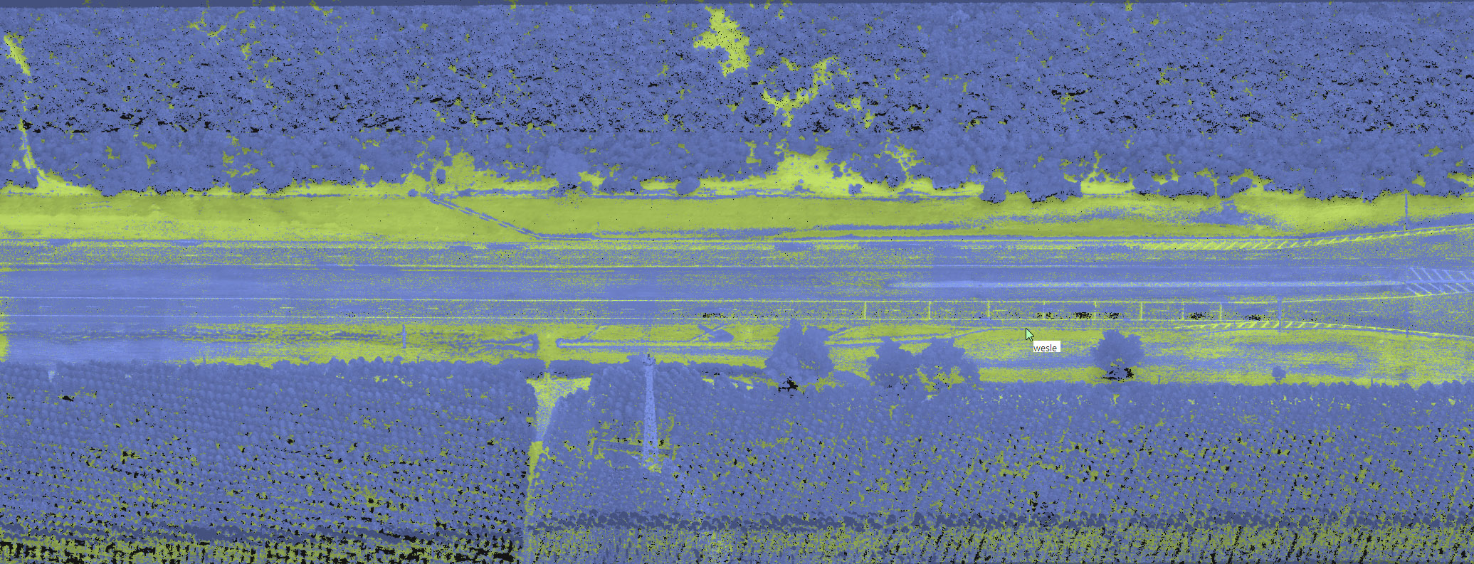
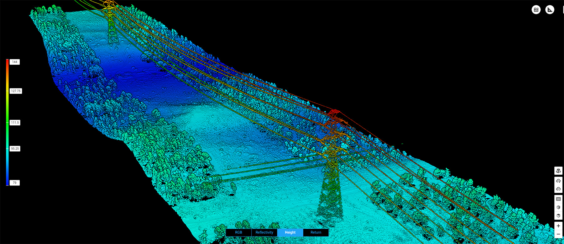
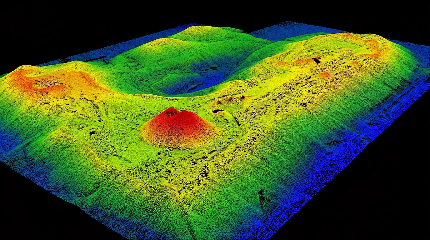
As it is a laser scan, the system presents a high degree of detail. By capturing millions of points per second, and due to the active sensor with excellent return levels, it is possible to penetrate dense vegetation to obtain more precise topographical and structural data compared to traditional methods.
The versatility of the active sensor
Unlike conventional aerial photogrammetry, the laser scanner is not affected by sunlight, since it produces its own infrared lighting source. This allows data to be obtained in environments with low or total absence of illumination, operating independently of weather conditions.
MINIMAL ENVIRONMENTAL IMPACT
The use of airborne LiDAR sensors eliminates the need for physical incursions that could disturb local flora and fauna. By digitising the terrain from the air, we guarantee the integrity of fragile habitats, providing precise data for ecological studies and environmental diagnostics without altering the ecosystem's natural state.
LIDAR APPLICATIONS
The terrestrial laser scanner is ideal for structural projects, as it provides extreme detail of both the exterior and interior of buildings. Meanwhile, drone-mounted LiDAR is used for the strategic mapping of large areas or specific perimeters. Both present numerous application forms in the global market, such as:
Architecture, Engineering, and Construction
High-Fidelity As-Built Survey
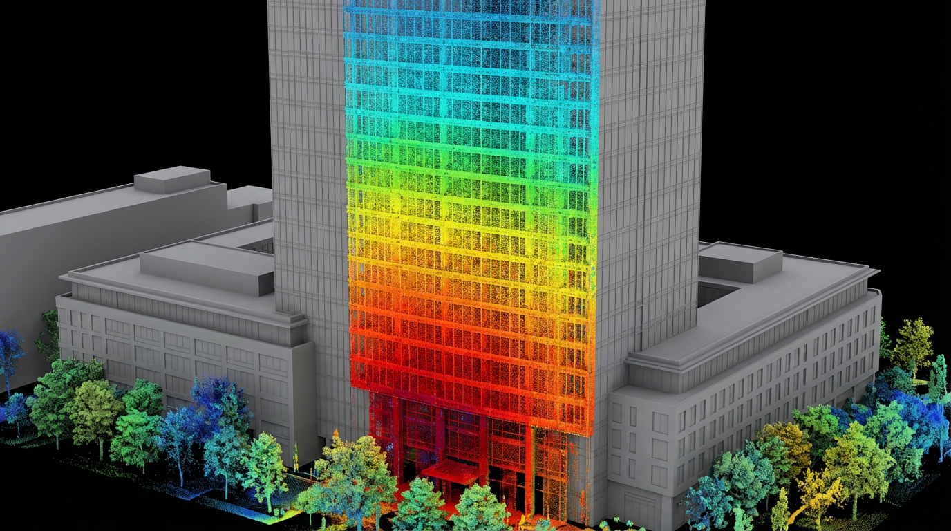
Laser scanning generates an exact digital twin of the structure, documenting the work “as built”. Through high-density point clouds, we capture every deviation and geometric detail, eliminating the uncertainties of outdated designs. It is the indispensable foundation for retrofits, expansions, and BIM project compatibility, ensuring that planning is executed based on physical reality, not assumptions.
Scan-to-BIM (Building Information Modeling)
Working with true-to-life information is the first step to the success of any project. The point cloud is processed to generate intelligent 3D models that facilitate collaboration among architects, engineers, and managers. The result is an agile schedule, a drastic reduction in compatibility errors, and total control over the existing project.
3D Modeling of Construction Sites
The use of drones equipped with LiDAR technology allows the creation of high-precision three-dimensional models. These digital representations faithfully capture terrain conditions before and during the execution of the work, providing crucial data for assertive planning.
Site Preparation and Excavation
The technology generates fundamental topographical data to support critical cut, fill, and grading decisions. By guaranteeing terrain fidelity in relation to the project, a solid foundation is ensured, mitigating the risks of geometric errors and optimising the construction's physical-financial schedule.
Industry and Manufacturing (Industry 4.0)
Digital Twin of Industrial Plants
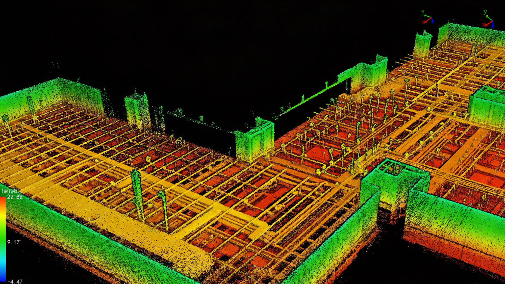
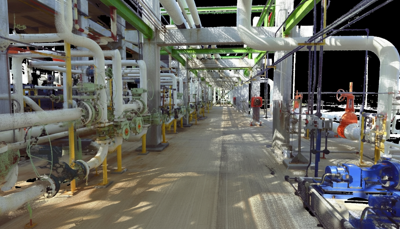
Complete digitisation, integrating electrical, piping, and mechanical systems in a rigorous 3D environment. We replace obsolete two-dimensional plans with precise virtual models, essential for asset management, expansion projects, and technical compliance in complex environments.
Infrastructure and Energy
Registration and Inspection of Critical Infrastructures
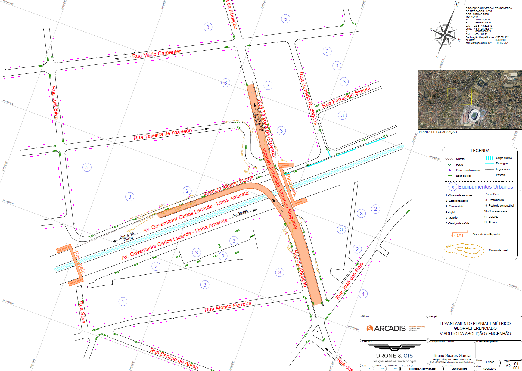
Highly complex assets (such as bridges, viaducts, tunnels, and dams) require rigorous monitoring.. We perform full 3D mapping of these structures for the early detection of pathologies, cracks, and deformations of centimetric magnitude.. Diagnostic intelligence supports predictive maintenance plans that ensure operational safety..
Right-of-Way Analysis
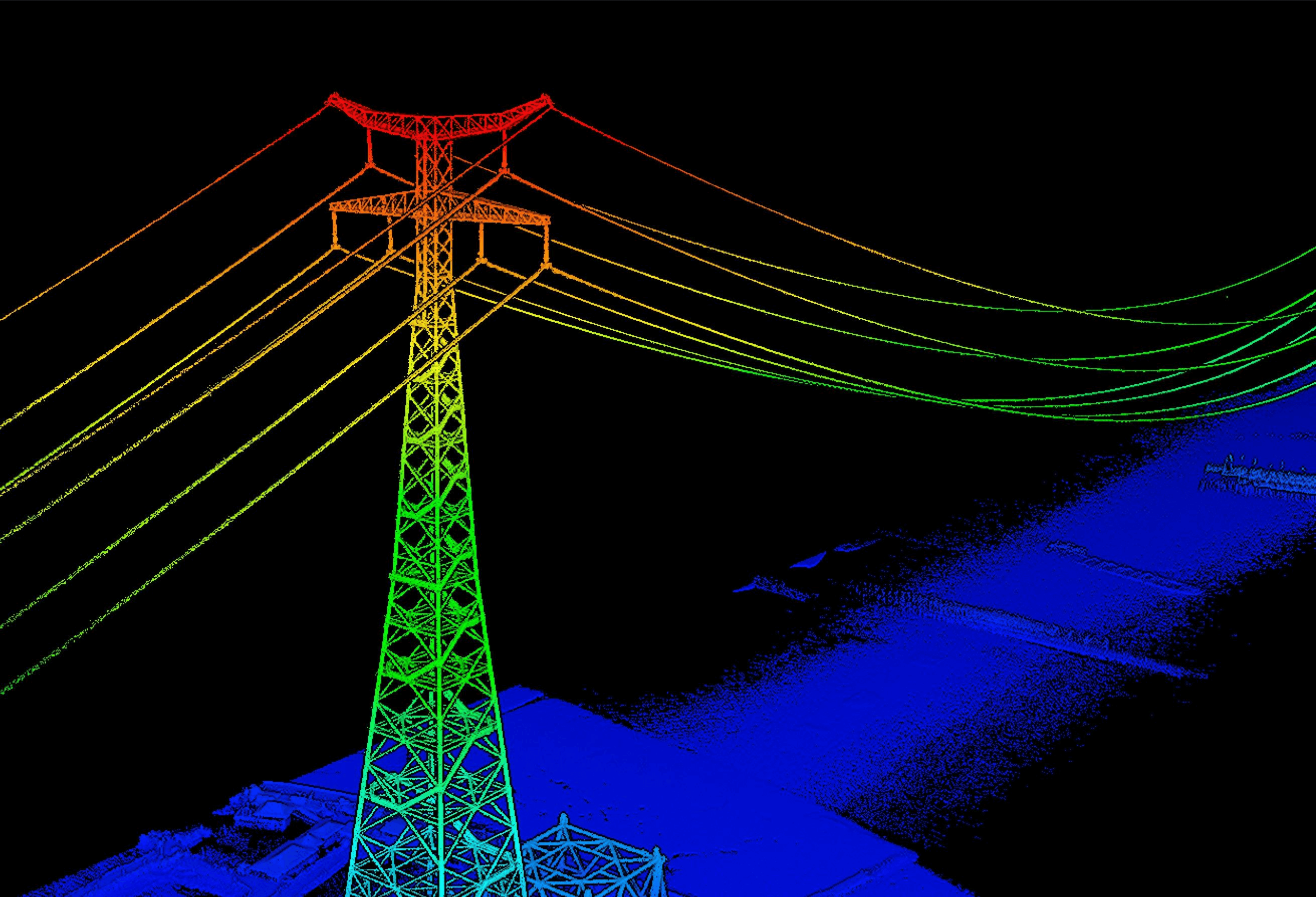
Precise mapping of transmission lines and railways for right-of-way management. The system detects irregular occupations and vegetation encroachment, calculating critical distances with centimetric precision to prevent falling trees or electrical arcs, maintaining regulatory compliance.
Volume Calculation and Earthworks
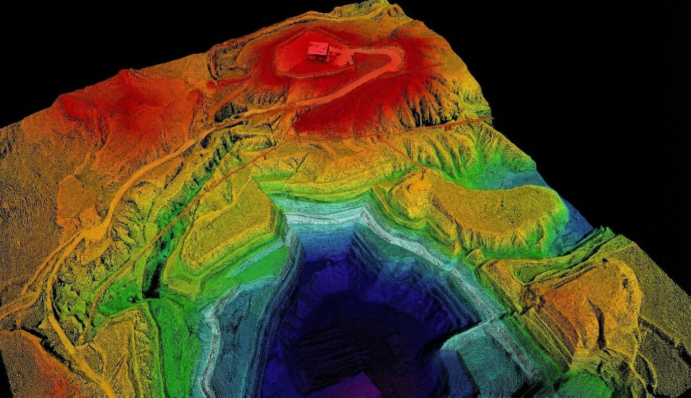
Optimisation of stockpile management and earthworks through high-precision volumetrics. We carry out the measurement of ore piles, grains, and earth movement with dense digital models, providing a faithful audit for inventories and payment certification in logistical contracts.
Geotechnical Monitoring and Slope Stability
LiDAR technology is used for the stability analysis of slopes and high walls with high point density. This methodology allows the early identification of geological instabilities and deformations, delivering a robust basis for risk management and decision-making in mining.
Historical and Cultural Heritage
Digital Documentation and Preservation
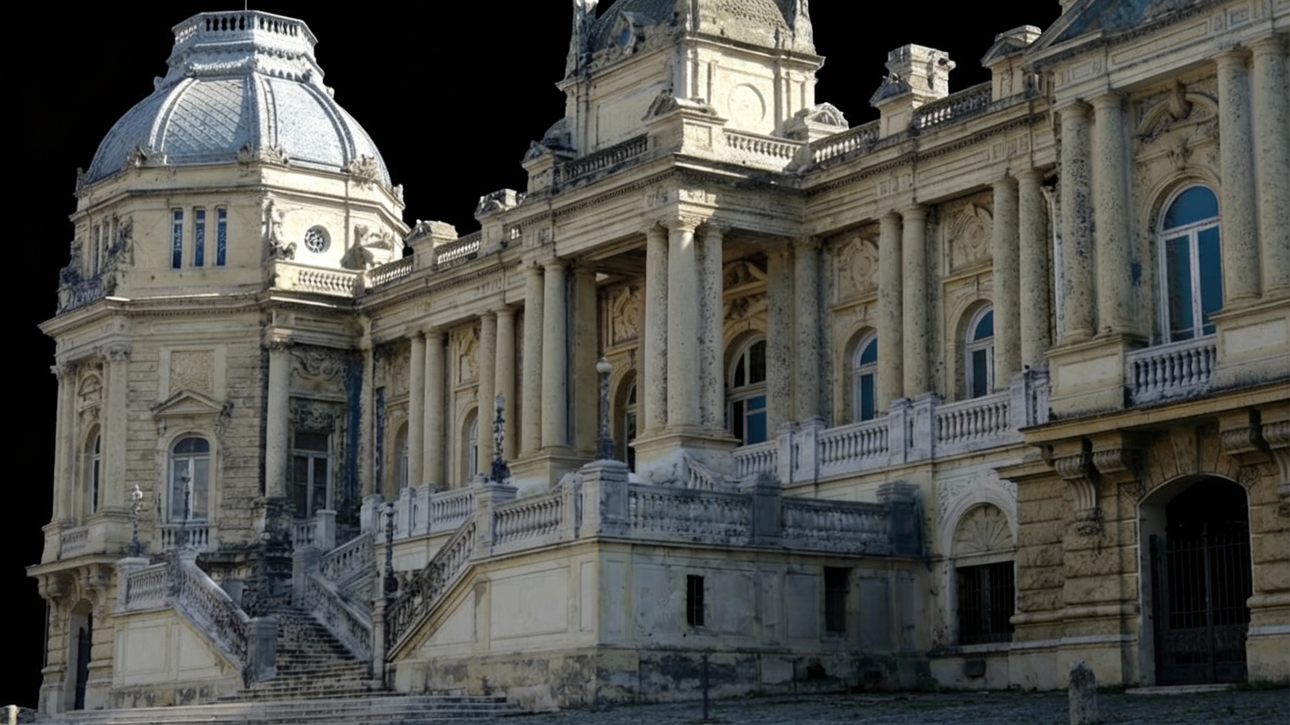
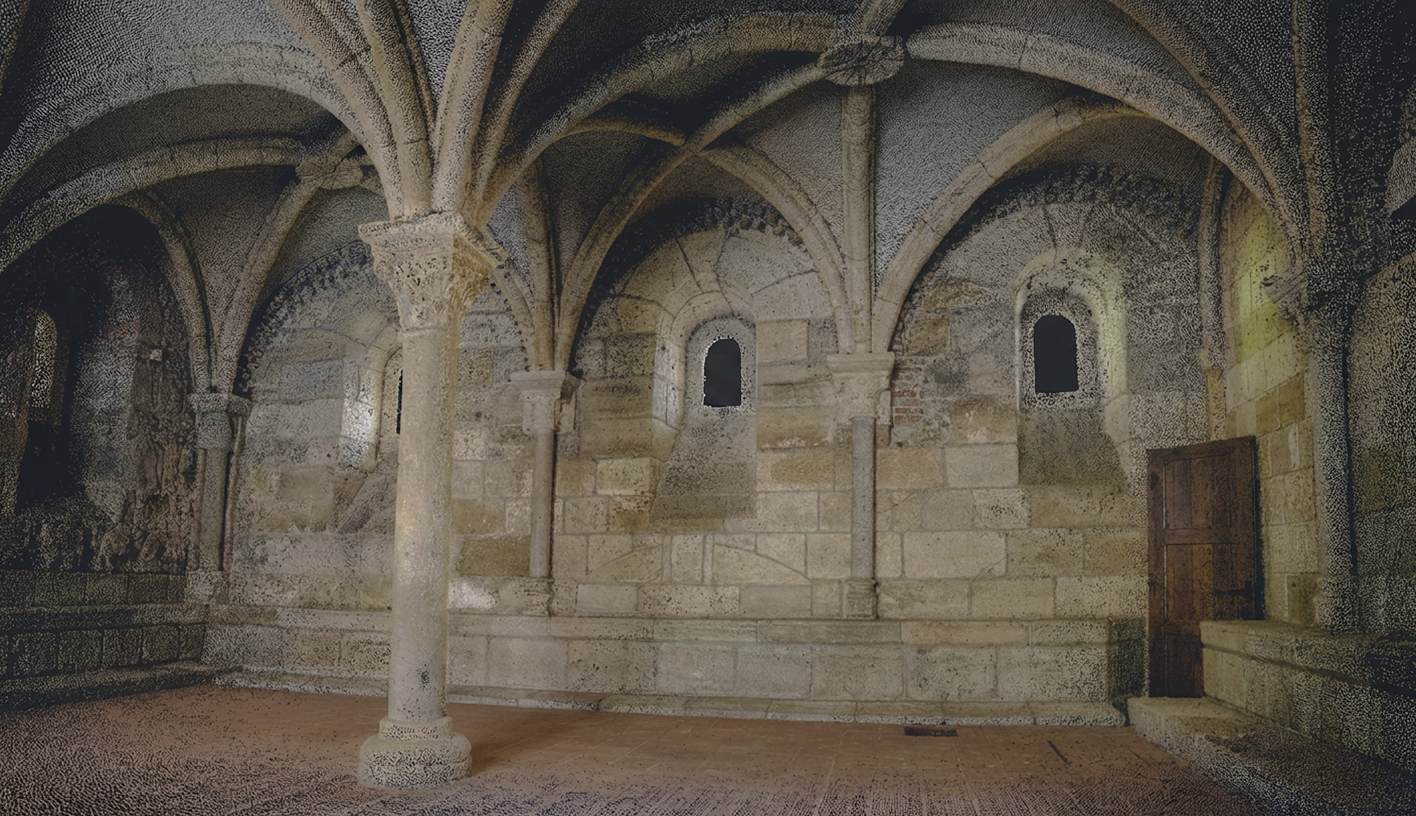
Three-dimensional records of historical buildings, monuments, and archaeological sites.. The non-invasive methodology captures the geometry without physical contact with the structure, forming a definitive technical record for scientific conservation projects..
Structural Analysis and Restoration
3D Laser Scanning creates an exact digital twin (as-built) of heritage assets with millimetric precision. As a remote and non-destructive method, it safeguards fragile structures by avoiding physical contact. This virtual model allows for the inspection of structural defects (such as cracks) without the need for scaffolding and optimises restoration planning. This ensures accurate budgeting, precise material calculations, and bespoke intervention designs.
How We Can Help
Get in touch and schedule a consultation with our experts; it will be a pleasure to assist you!