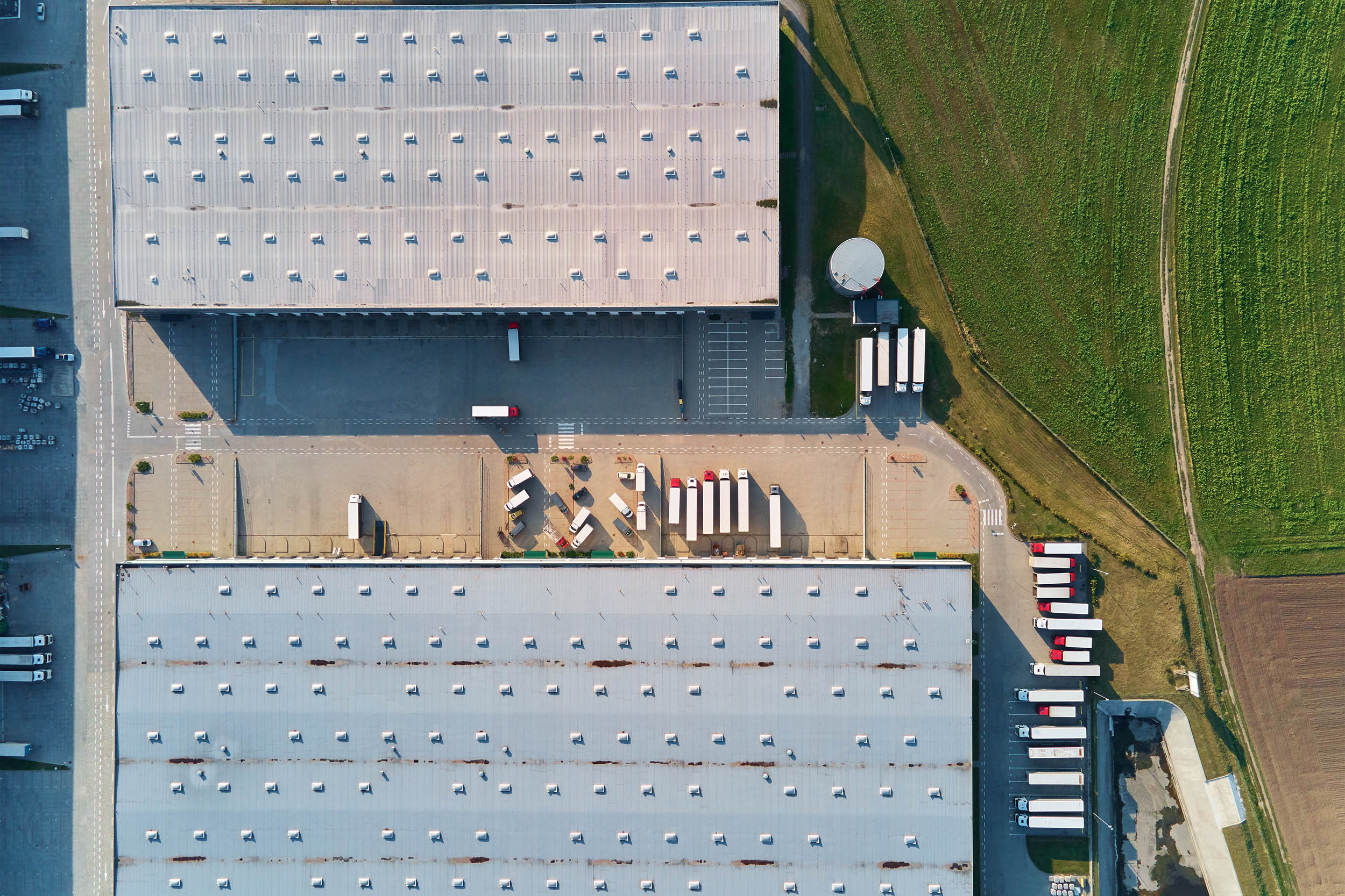
Capture visual and spatial data with high precision. Our technology delivers detailed information quickly, safely, and highly cost-effectively, meeting the critical needs of various industrial sectors.
We offer advanced solutions in geographic intelligence and high-precision data capture, delivering detailed information in an agile, safe, and highly cost-effective manner..
We meet the most complex demands of critical sectors such as engineering, infrastructure, precision agriculture, energy, and environmental management.. We transform complex geospatial data into accurate diagnostics to optimize operations, mitigate operational risks, and support high-level strategic decision-making.
THERMAL SURVEYING
Through the integration of cutting-edge radiometric sensors on unmanned aerial platforms (UAVs), we capture georeferenced thermal data for complex analyses across multiple industrial sectors..
Our thermal surveying technology optimises decision-making in security and tactical rescue operations, in the monitoring of operational anomalies in the energy sector (such as predictive inspections), and in the continuous assessment of critical infrastructure..
We transform high-resolution aerial imagery into extremely precise orthomosaics and digital twins through advanced photogrammetric processing..
We offer highly reliable georeferenced data for various global applications. This includes support for civil engineering, spatial planning, visual inspection of linear infrastructure (such as railways and transmission lines), and documentation for heritage preservation.
We utilise advanced sensors to capture data beyond the visible light spectrum, transforming raw imagery into strategic geographic intelligence for various markets.This technology is essential in Precision Agriculture to optimise water management and monitor crop health and development..
It is also widely applied in the forestry sector, assessing biomass and ecosystem integrity, and in mining, assisting in rigorous operational and environmental control. Through robust spatial analyses, these solutions empower decision-makers to maximise productivity, mitigate risks, and promote sustainability on a corporate scale.
LiDAR surveying technology is an advanced tool for capturing high-density, high-precision geospatial data. It is essential in infrastructure planning and civil engineering through the creation of advanced 3D models and digital twins.
With an excellent capacity to penetrate dense vegetation for detailed mapping of the true terrain, the system provides vital geographic intelligence for sectors such as mining, archaeology, and project engineering.. Its capture speed and millimetre-level accuracy also make it crucial for public security operations and rapid disaster response management..