Conduct more frequent inspections to identify issues rapidly and maintain your assets with flawless, reliable performance.
Installations in the Oil and Gas industry (onshore and offshore) require frequent inspection and maintenance to ensure safety and prevent failures.
Currently, traditional methods of visual inspection in hard-to-reach areas are expensive, pose a significant human risk, and require the shutdown of processes, which considerably impacts production.
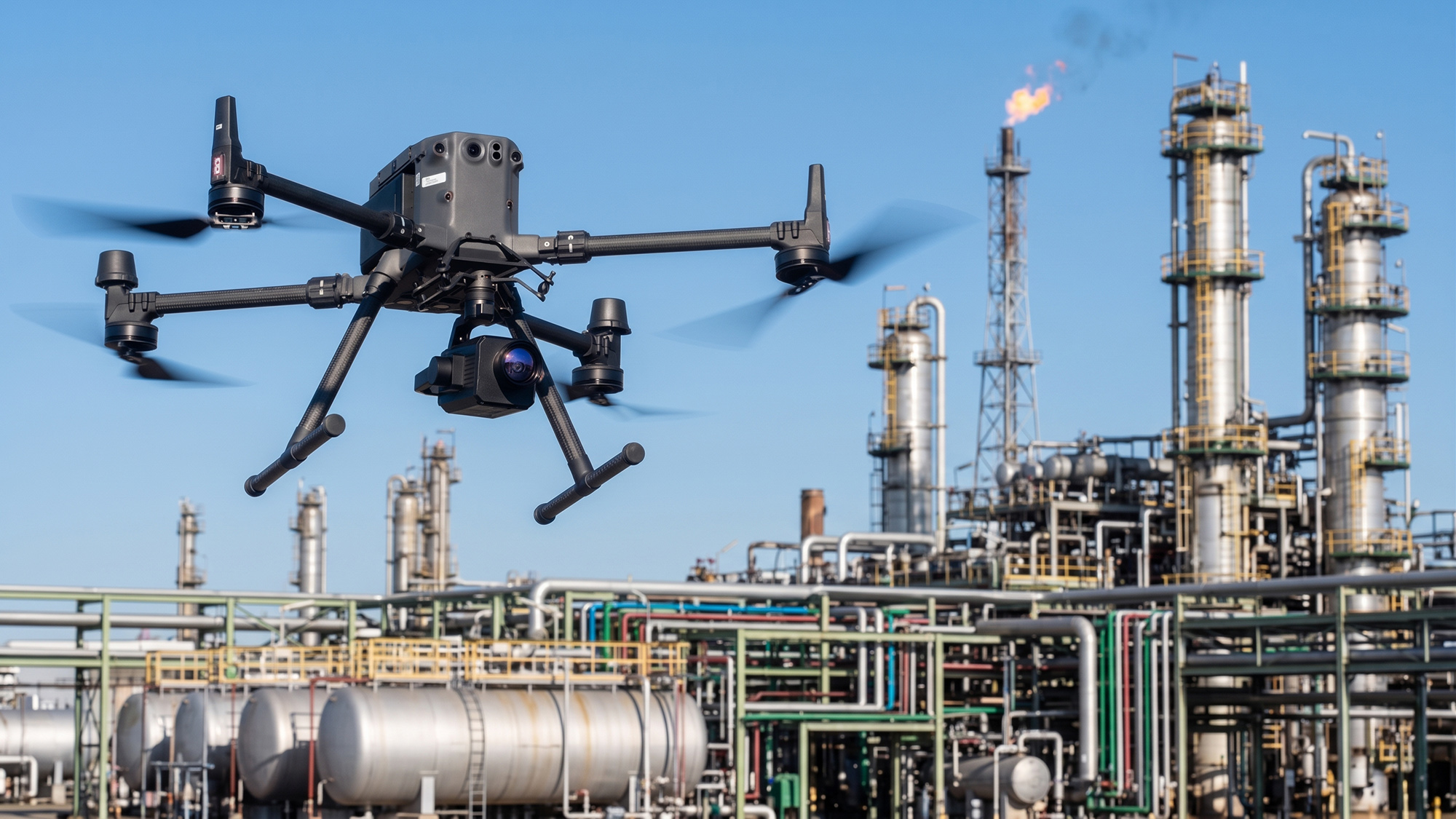
DRONE & GIS aerial platforms for visual inspection provide high-quality and precise data for all inspection and maintenance requirements, in a safer and more efficient manner, without causing operational downtime.
Key Benefits of Using Drones for Inspection in the Oil and Gas Industry
ENHANCED SAFETY
Protecting Lives and Assets
With Drone inspection, you effectively protect your employees, keeping them away from hazardous environments and harmful materials. You can access high-risk locations, such as offshore platforms, elevated pipelines, areas with gas or chemical leaks, and high-altitude structures, eliminating the need for direct human exposure.
At the same time, this technology allows for the rapid and precise inspection of asset problems. This means identifying faults, corrosion, leaks, or wear in equipment and infrastructure without risking lives, expediting decision-making and corrective actions. Risk reduction is not just an operational benefit; it is an unwavering commitment to the safety of your team.
Minimizing Shutdown
Replacing traditional methods notably reduces operational costs, directly impacting corporate efficiency and budgets. Minimising the need for large field teams is one of the most significant factors. This optimises labour use, reducing costs associated with daily allowances, logistics, and accommodation.
Furthermore, replacing high-cost equipment like helicopters is a competitive advantage. While helicopter operation and maintenance are extremely expensive and complex, drones offer an agile and far more economical alternative.
SUBSTANTIAL COST REDUCTION AND UNINTERRUPTED OPERATION
PRECISE AND RELIABLE DATA
Superior Quality and Data Analysis
Equipped with 4K cameras and LiDAR sensors, our Drones capture detailed images that allow for the identification of small cracks, corrosion spots, and structural anomalies. This data is used to create 3D digital models of the assets, enabling detailed analysis and precise repair planning.
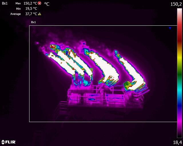
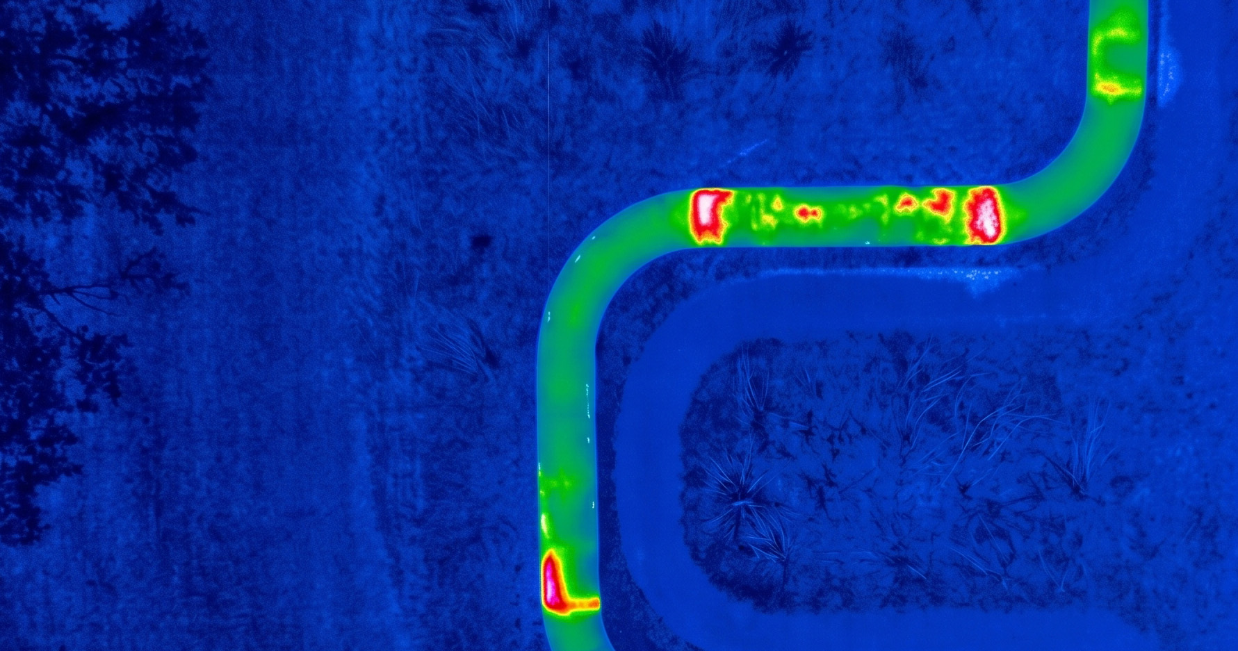
Our equipment with onboard thermal cameras identifies temperature variations that can indicate leaks, thermal insulation failures, or electrical problems, which are often invisible to the naked eye.
INTEGRATED SENSORS (Payloads)
The strategic combination of advanced sensors results in safer, cleaner, and more efficient industrial operations.
HIGH-RESOLUTION VISUAL SENSORS (RGB)
Equipped with powerful optical zoom, they capture structural details of flare stacks, towers, and storage tanks.
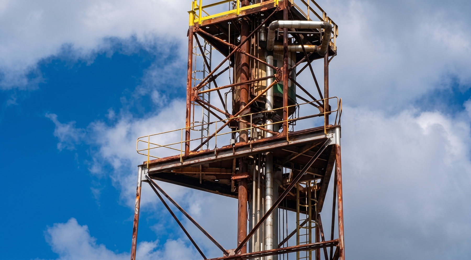
The analysis of these images enables the identification of surface defects such as corrosion, cracks, leaks, and coating damage, often in locations that are difficult for human inspection teams to access.
THERMOGRAPHIC SENSORS
They detect temperature anomalies that are invisible to the naked eye. In the oil and gas industry, these sensors are crucial for:
Gas Leak Detection;
Inspection of Electrical and Mechanical Equipment;
Monitoring of Storage Tanks;
Inspection of Furnaces, Boilers and Refractories;
Safety and Fire Prevention;
Pipeline Integrity.
LiDAR SENSORS (Light Detection and Ranging)
Using laser pulses to create extremely precise three-dimensional (3D) models of facilities and terrain, LiDAR sensors offer an unprecedented level of detail and data analysis, optimising everything from project planning to leak detection and structural integrity assurance.
3D Mapping and Digital Twin Creation;
Pipeline Inspection and Integrity;
Monitoring of Structural Deformations;
Risk Analysis and Emergency Response Planning.
GAS DETECTORS
This technology allows for the rapid and remote detection of hazardous gas leaks and fugitive emissions in hard-to-reach or high-risk locations for human teams, such as offshore platforms, refineries, gas pipelines, and storage tanks, drastically reducing worker exposure to dangerous environments. Its main applications are:
Pipeline Inspection;
Monitoring of Storage Tanks;
Inspection of Platforms and Refineries;
Emergency Response;
Environmental Monitoring.
CONFINED SPACE INSPECTION
Cutting-edge technology for harsh environments.
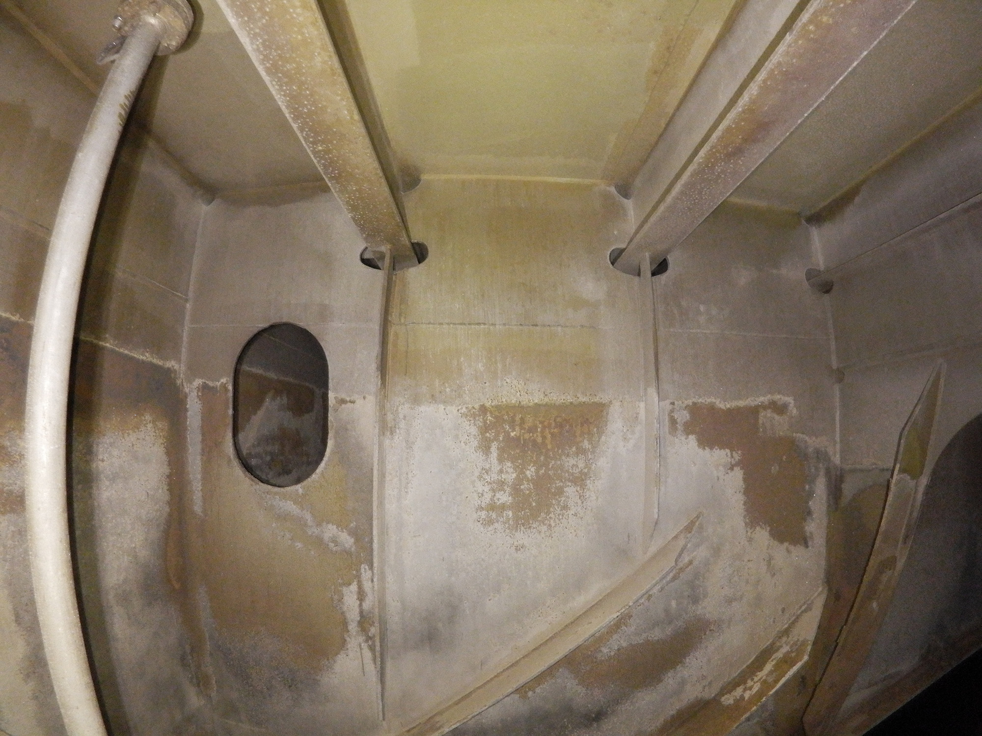
Inspecting hostile environments traditionally requires production shutdowns, scaffolding erection, and exposure to toxic or explosive atmospheres. Drones equipped with advanced sensors eliminate or drastically reduce these procedures.
The captured data is georeferenced and integrated into GIS platforms, creating a complete digital registry to generate anomaly reports with precise locations and monitor the evolution of structural defects..
ENHANCED SAFETY
This results in a drastic reduction in human exposure to hazardous environments, in full compliance with the most stringent global industrial safety standards for work in confined spaces..
RESOURCE OPTIMISATION
Eliminating scaffolding, reducing production downtime, and optimizing labor result in substantial corporate savings..
3D ACCESS AND NAVIGATION
Computer vision and LiDAR mapping enable rapid visual and ultrasonic inspections of storage tanks, achieving 100% coverage remotely in a matter of hours..
Revolutionize the Inspection of Your Industrial Assets
Forget weeks of shutdowns and the high risks of traditional inspections. Our Drone solution for confined spaces conducts visual and ultrasonic inspections in storage tanks in a matter of hours. Safety is maximised, as we completely eliminate the need for human entry and working at height.
Optimized Tank Inspection
Thanks to the power of computer vision and LiDAR mapping, our pilots navigate remotely with total control, building a real-time 3D view of the environment and the drone's trajectory. The result is a more data-rich, agile, and above all, safe inspection.
MAIN SERVICES AND APPLICATIONS
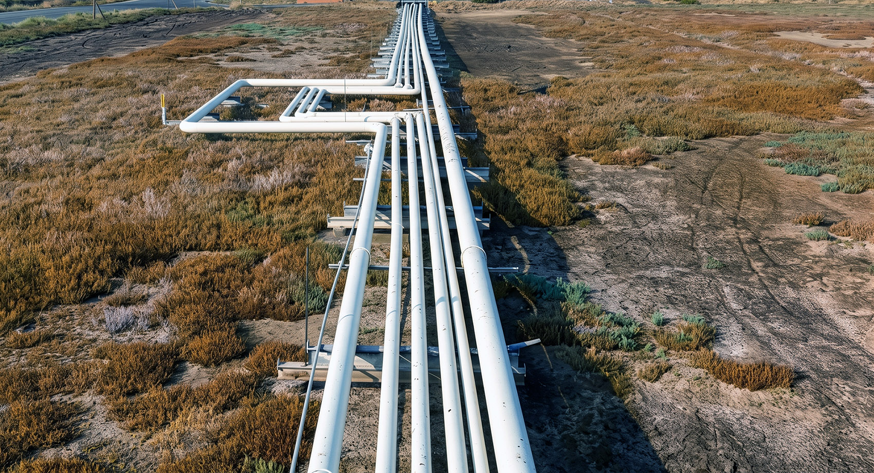
Pipeline Inspection (Onshore and Offshore)
Advanced Leak Detection
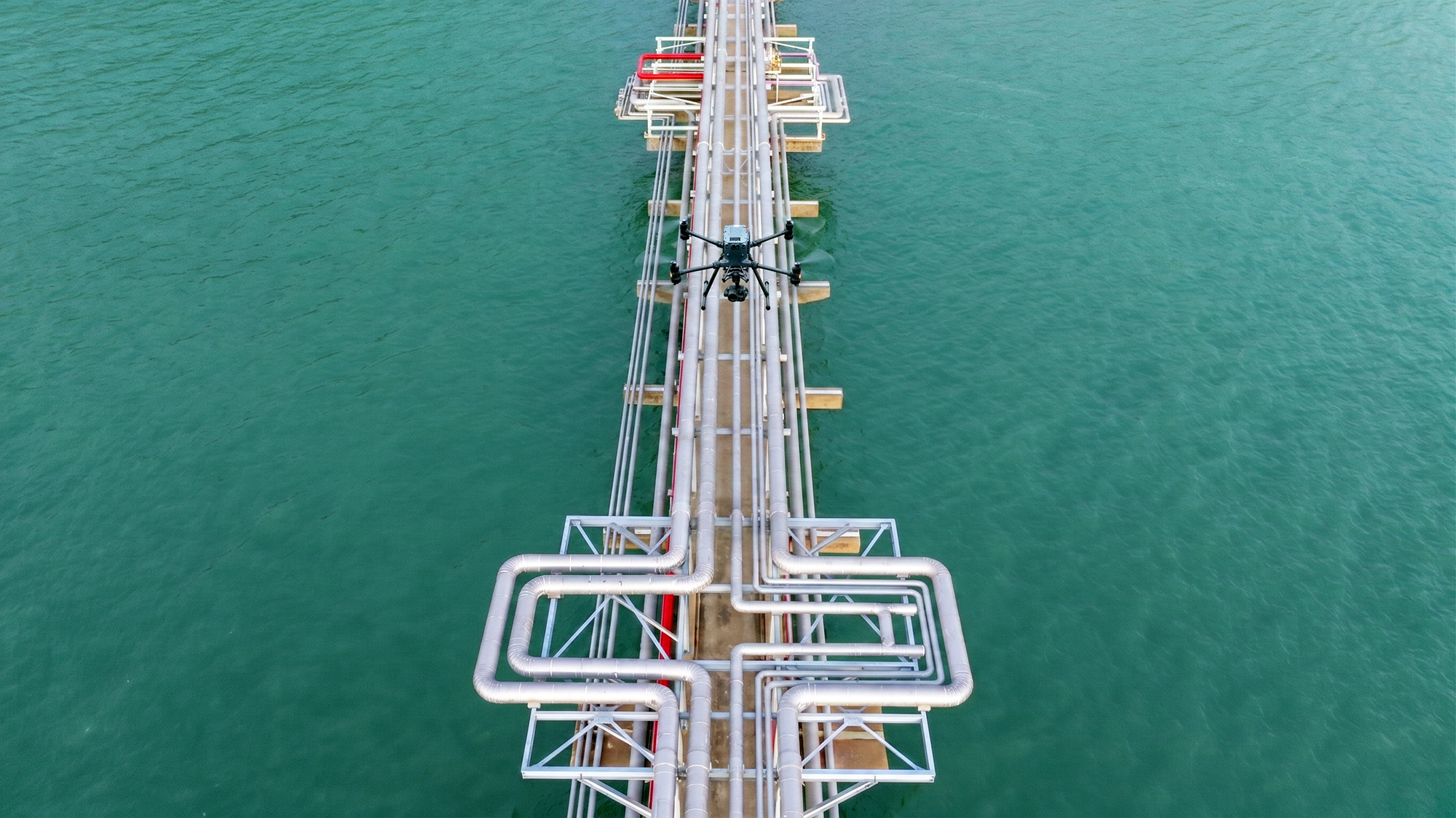
We offer an advanced solution for the inspection of onshore and offshore pipelines. Using drones equipped with laser spectrometers for methane detection and thermographic sensors, our system ensures the precise and georeferenced identification of any anomaly or leak point, no matter how small, optimizing maintenance plans and emergency response.
Monitoring and Protection of the Right-of-Way
Complete visual detection of potential threats, such as illegal construction, soil erosion, and hazardous vegetation, protecting buried or surface pipeline infrastructure..
Pathologies and Coatings
Mapping oxidation and delamination using radiometric sensors provides crucial information for predictive maintenance programs and pipeline integrity management..
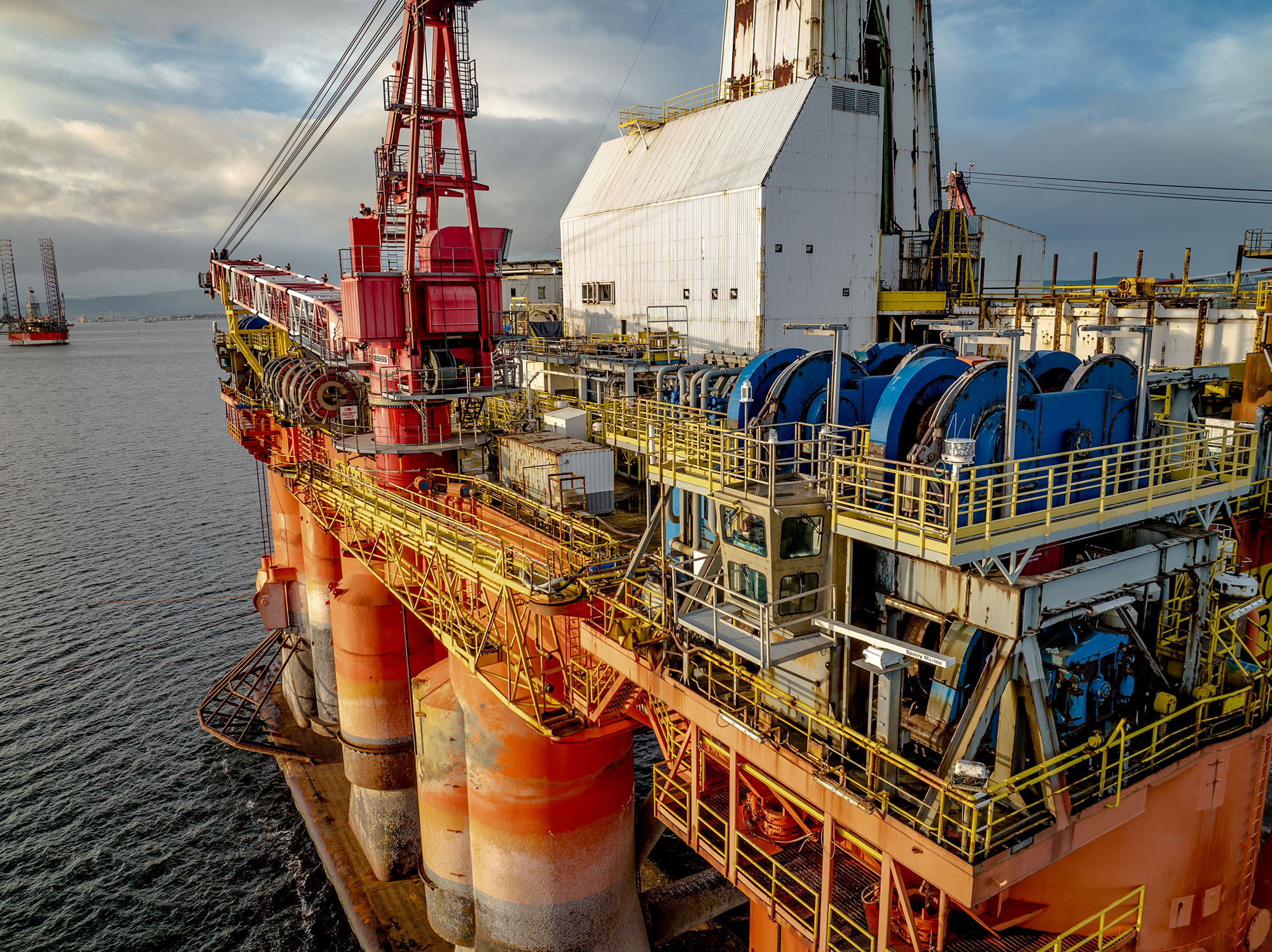
Inspection of Oil and Gas Platforms (Offshore)
Structural Inspection
Detailed visual inspections in high-risk and hard-to-reach areas, such as the splash zone, tower tops, and cranes. The use of this technology minimises the need for industrial rope access and scaffolding, increasing safety and optimising operational costs.
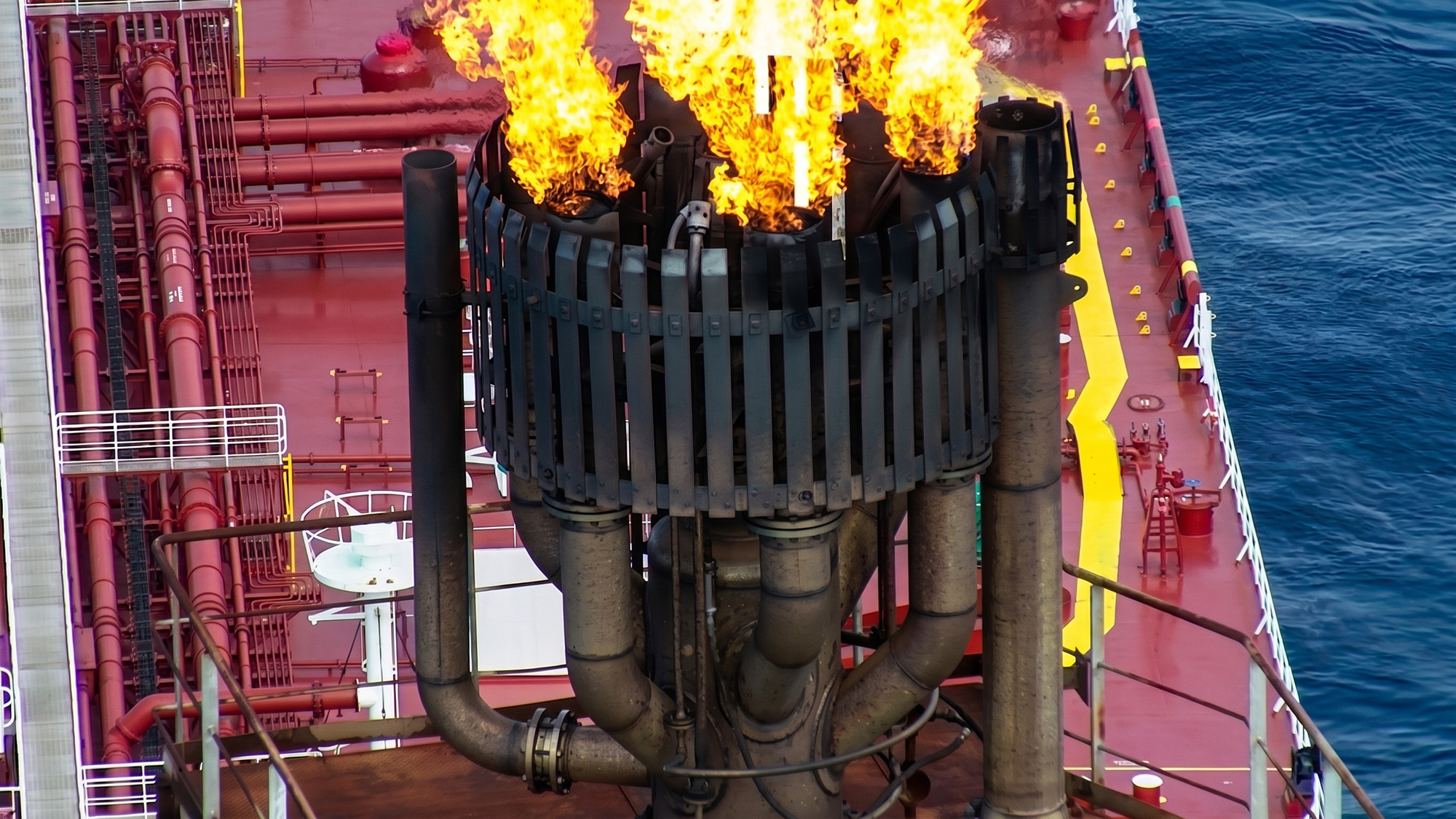
Safe and Efficient Flare Stack Inspection
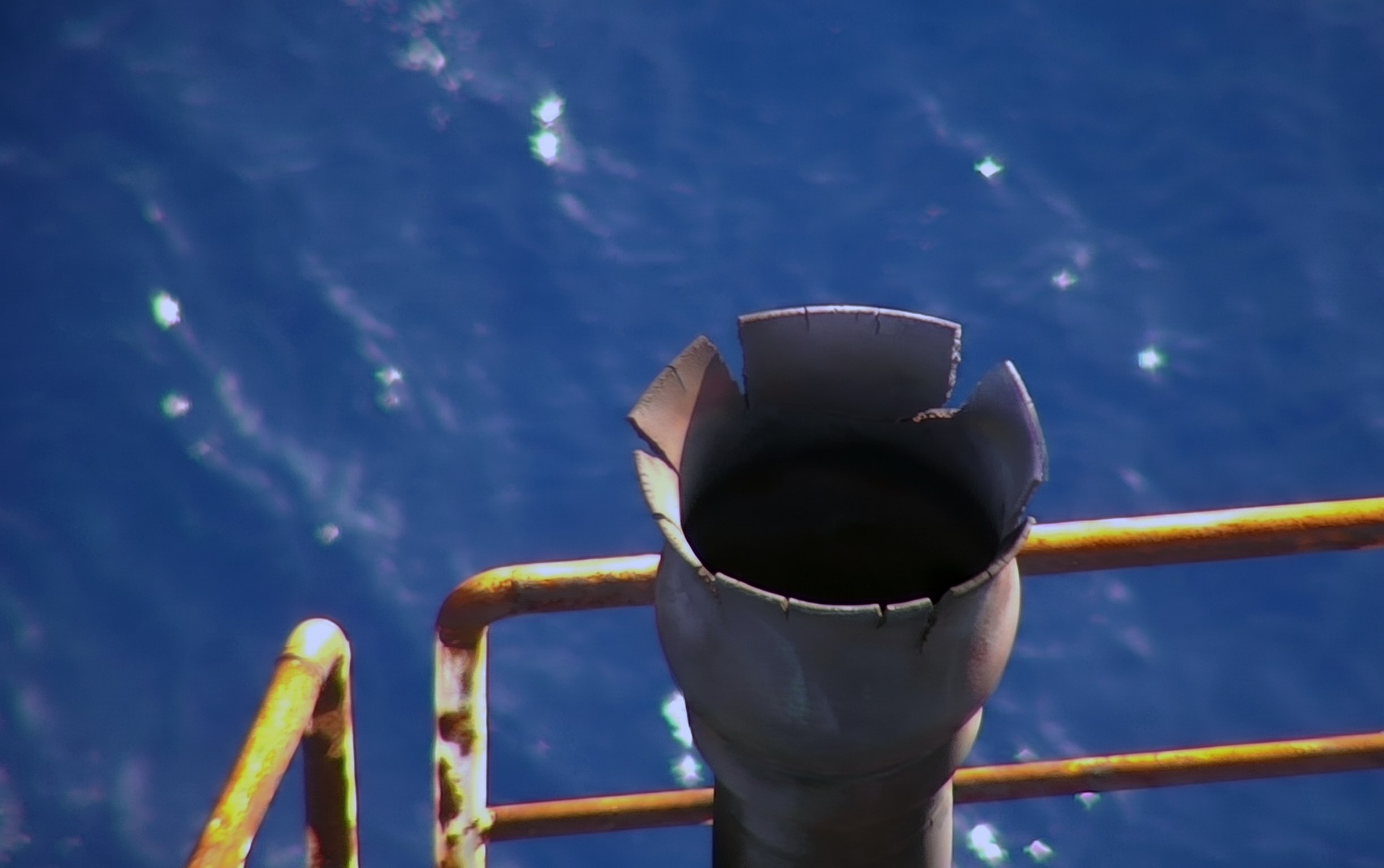
Inspecting flare stacks with Drones transforms a traditionally risky process into a safe and agile operation. We conduct a detailed analysis of structural integrity and burner efficiency with the plant in full operation, which not only prevents financial losses from production shutdowns but also negates human exposure to extreme heat and working at height.
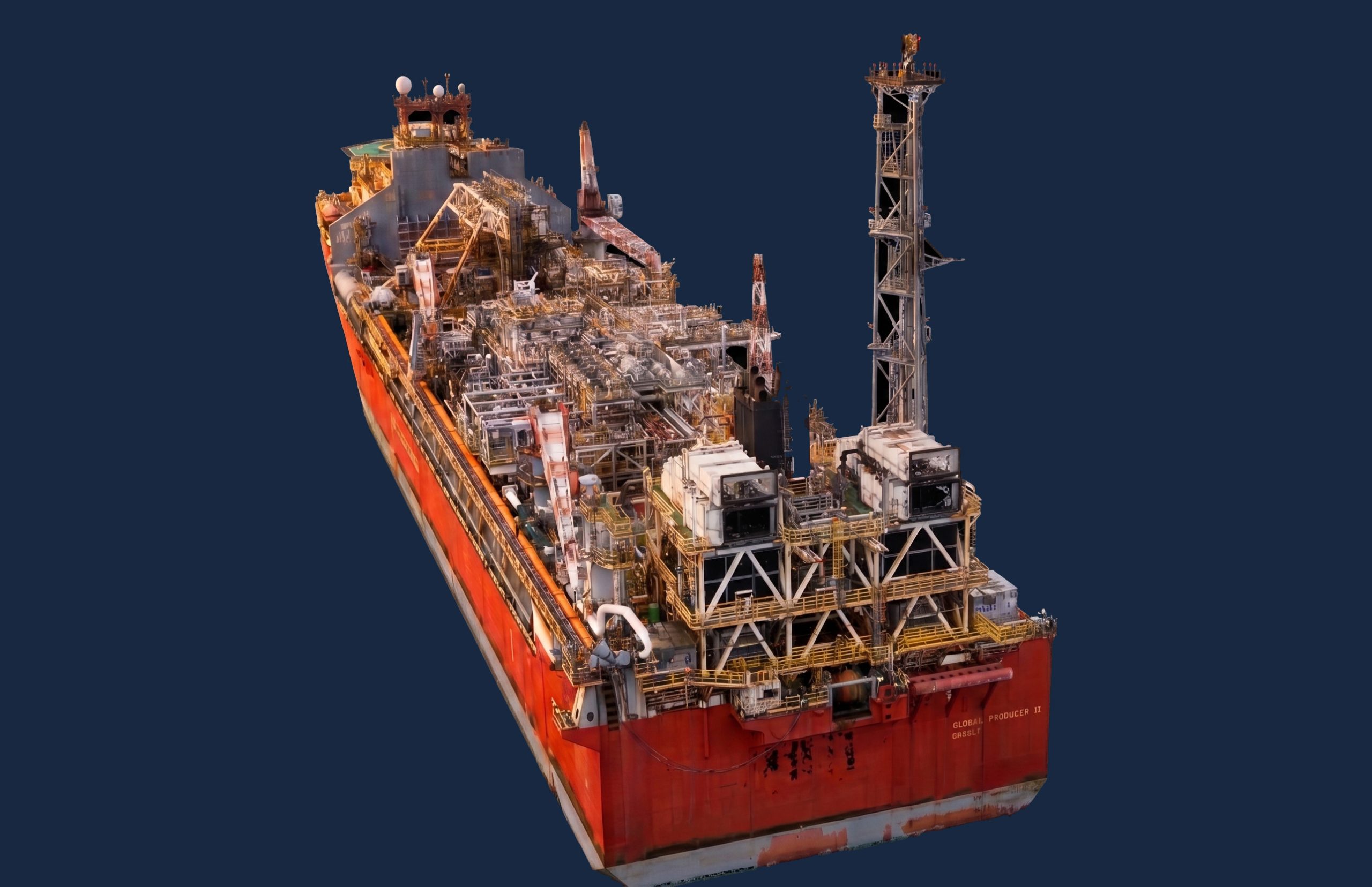
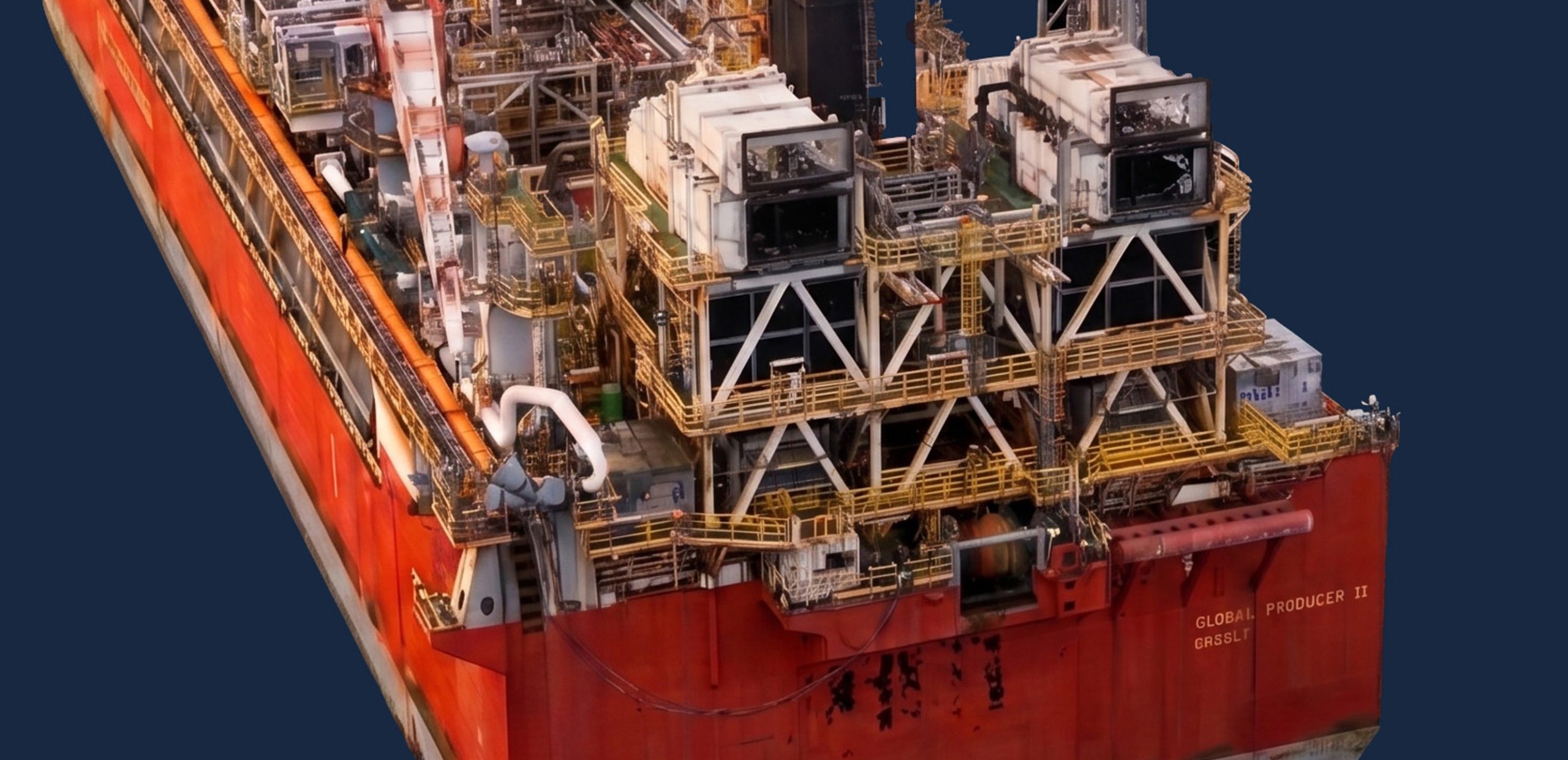
Creating Digital Twins for Offshore Asset Management
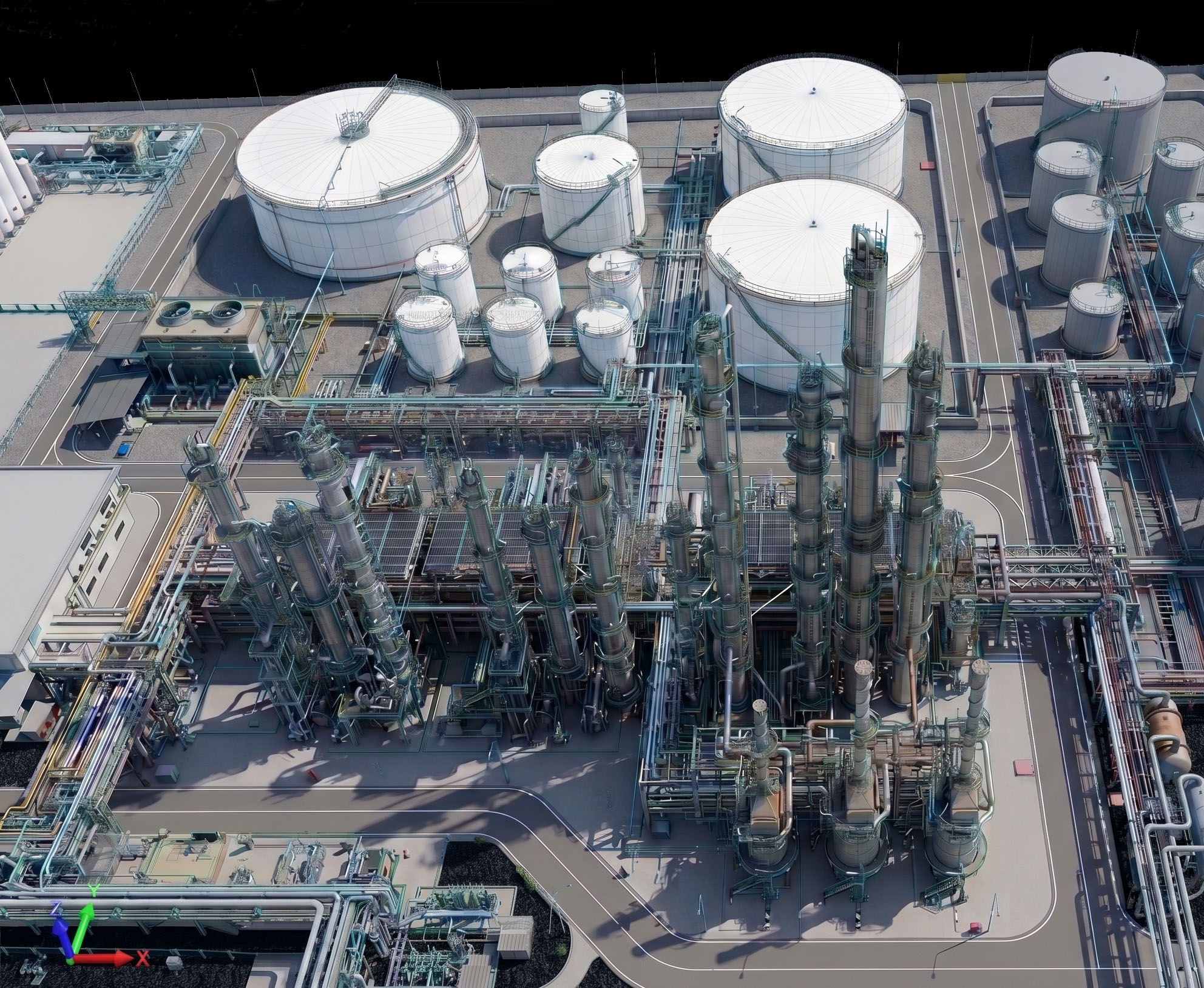
We transform the physical reality of your facilities into an interactive and accurate 3D digital model. Through the fusion of LiDAR and Photogrammetry data, we generate Digital Twins that serve as a single source of truth for your teams. This powerful tool revolutionizes maintenance planning, project simulations, and future modifications, ensuring faster, safer decisions at reduced costs.
Refinery Inspections
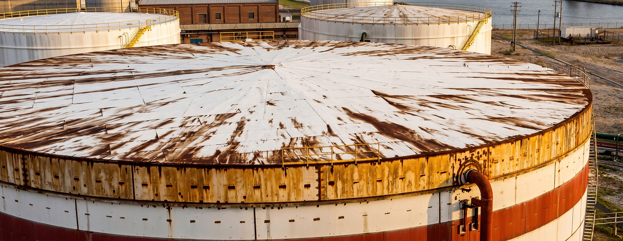
Structural Diagnosis of Storage Tanks (Roof and Shell)
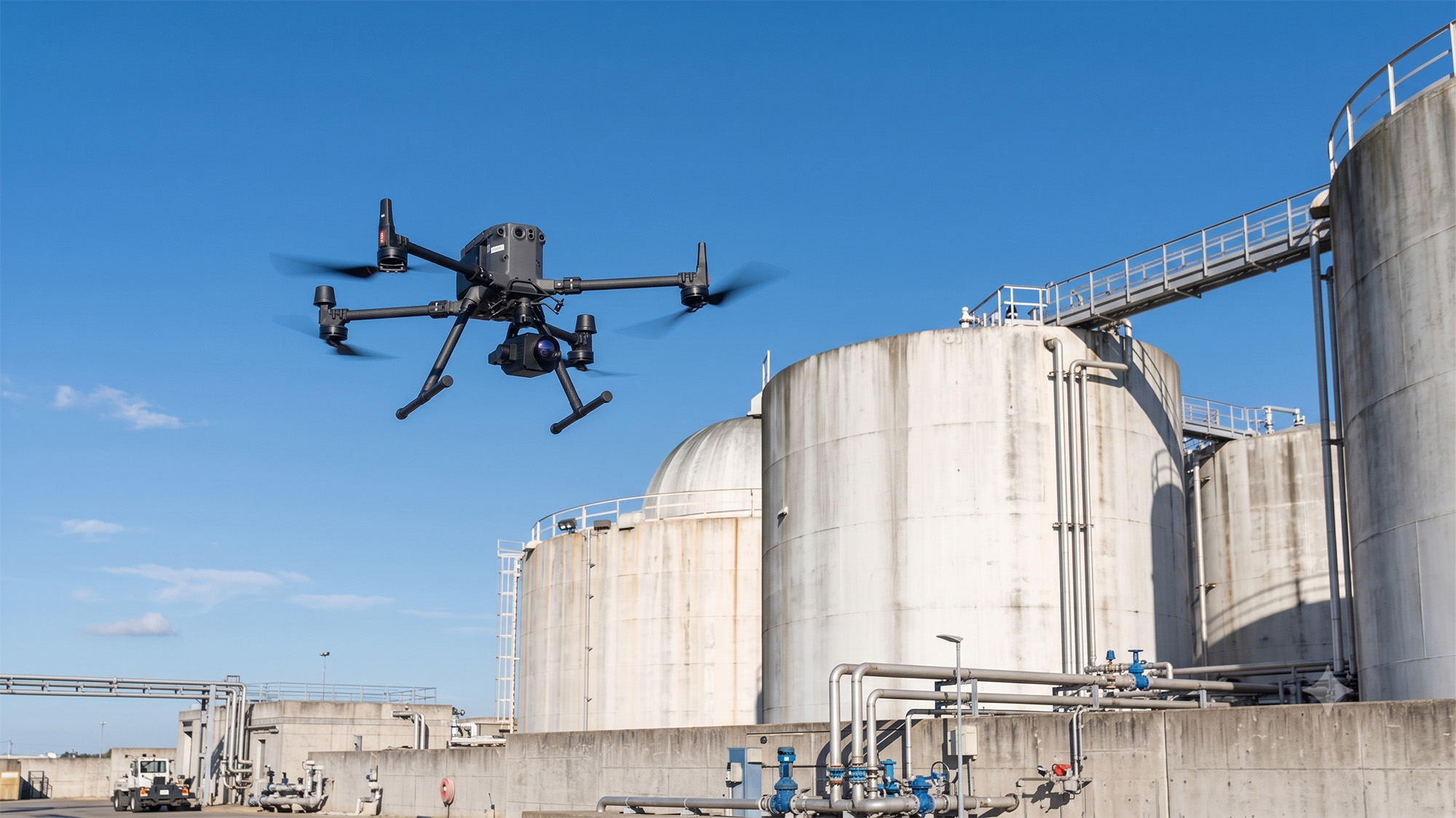
External tank inspection using specialized drones represents a leap in safety and efficiency. We conduct a complete assessment of the roof and shell, mapping anomalies such as corrosion, coating defects, and structural deformities. This approach eliminates the need for scaffolding and cranes, resulting in a drastic reduction in costs, inspection time, and, most importantly, operational risks.
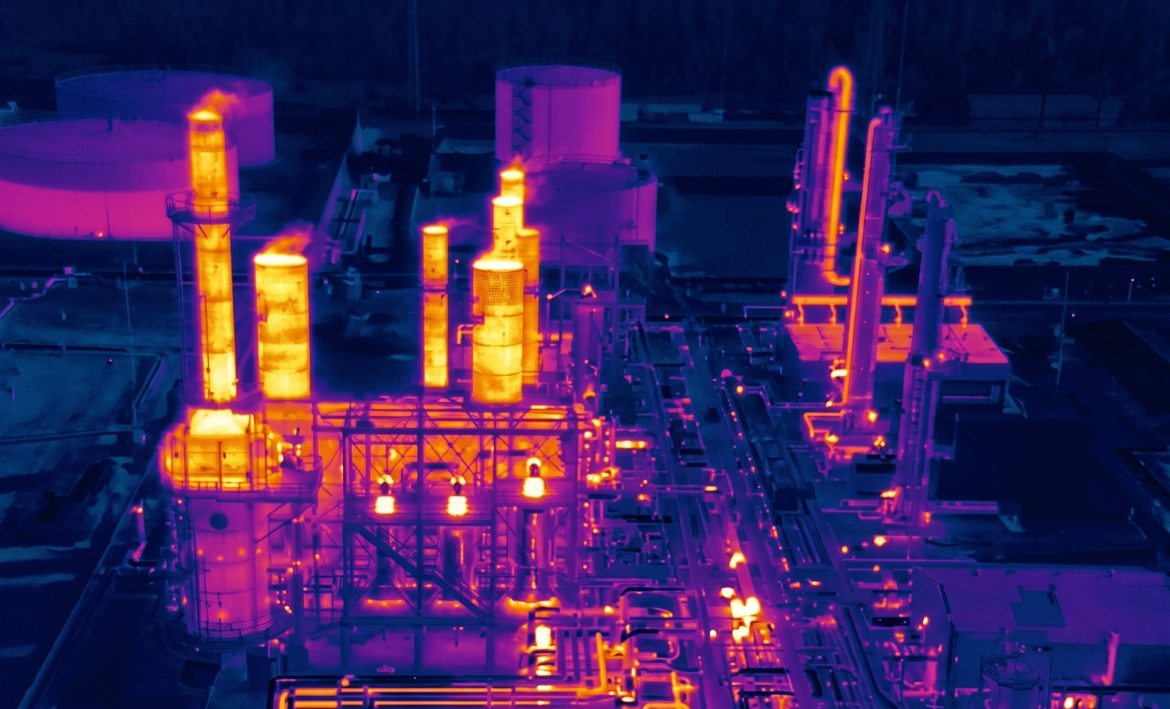
Predictive Maintenance with Thermography
Thermography is an essential tool for predictive maintenance, increasing the safety and reliability of assets. Our thermal inspections of equipment such as furnaces, heat exchangers, and pipelines identify temperature deviations that indicate failure risks or energy losses. Acting on this data prevents unscheduled shutdowns and optimises the plant's energy efficiency.
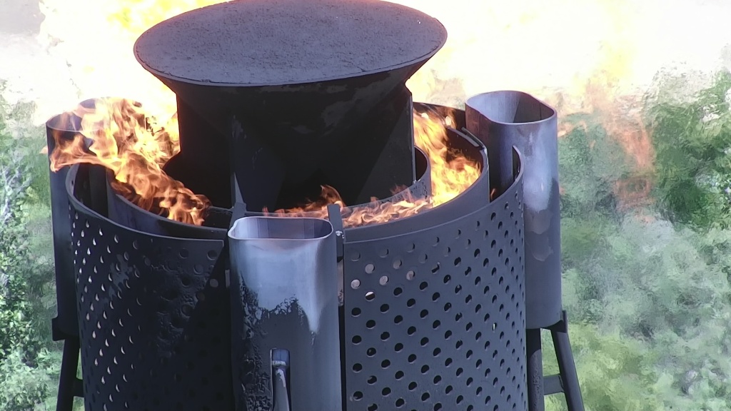
Flare and Chimney Inspection
Drones conduct visual and thermographic inspections of active flares, hundreds of metres high and at extreme temperatures. This capability eliminates the need for scheduled shutdowns and working at height, one of the industry's greatest risks. Structural anomalies, and the integrity of igniters, flare tips, and piping are identified entirely remotely.
Gas Leak Detection
Equipped with Optical Gas Imaging (OGI) cameras or laser sensors, drones can identify and quantify leaks of volatile organic compounds, such as methane. This allows for rapid corrective action, increasing safety and environmental compliance.
Inspection of Elevated Structures
Detailed assessment of elevated structures, identifying wear, corrosion, and maintenance needs without exposing workers to risks.
Asset Mapping and Digitization
Using Photogrammetry and LiDAR sensors, combined with advanced techniques such as Gaussian Splatting, our surveys create 3D models and realistic, precise visualisations of the refinery. This detailed database is essential for maintenance planning, works monitoring, and intelligent, centralised asset management.
Environmental Management and Compliance
Continuous monitoring of atmospheric emissions and early detection of oil spills.. The provision of accurate and georeferenced data strengthens corporate environmental practices and streamlines the preparation of reports for international regulatory bodies..
How We Can Help
Get in touch and schedule a consultation with our experts; it will be a pleasure to assist you!