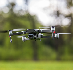
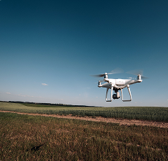
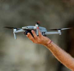
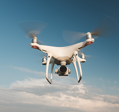
We are a specialist company focused on aerial solutions, engineering, software, and geotechnologies, offering unrivalled expertise in precision mapping and spatial data analysis for the agribusiness, mining, energy, construction, oil and gas, environmental, water and sanitation, and transport sectors.
Drone & GIS partners with clients to optimise operations and projects at pace and scale, through our unique combination of drone surveys and advanced technical delivery capabilities in software and Geographic Information Systems.
Our multidisciplinary team of experts works with leading market organisations to help them obtain accurate data, monitor assets safely and efficiently, and operationalise strategies through the deep implementation of geotechnologies and the digital transformation of their processes.
With extensive experience in complex projects, our ability to integrate solutions, alongside our depth and breadth of technical knowledge, are the reasons why organisations choose us as their trusted partners.
We firmly believe in the potential to create value for our clients through an approach that integrates high-precision aerial data capture with geographic intelligence, ensuring the best decision-making.
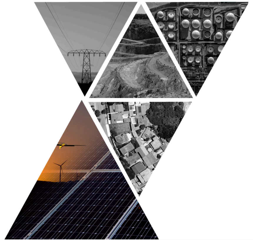

At Drone & GIS, precision and innovation are our business. We are a leading company in aerial solutions, engineering, software, and geotechnologies.

Our purpose is to empower your business processes with geographic intelligence, transforming data into strategic decisions for your company.

At DRONE & GIS, we take pride in having a multidisciplinary team with extensive proven experience in engineering, software, and geotechnology services.

Our value lies in ensuring the success of your projects with technology, accurate data, and a fully trusted partnership.

Our main objective is to provide accurate geographic intelligence to optimise processes, mitigate risks, and maximise efficiency in the projects of our clients and partners.

Ethics and compliance are pillars of our business. We operate with responsibility, transparency, and full compliance with regulations across all our operations.

Our commitment is to excellence. We guarantee high-precision data and strict adherence to deadlines in every project we deliver.

We are now expanding our boundaries to bring our expertise to global challenges.
Our expertise in GIS, Aerial Data, and Software transforms information into intelligent decisions, driving the success of your project.
Drone & GIS is a company that transforms data into value. We go beyond the simple collection of aerial imagery. Utilising cutting-edge drone technologies and Geographic Information Systems (GIS), we offer comprehensive solutions for the mapping, monitoring, and analysis of territories.
Our expertise extends to the development of specialised software and geotechnology consultancy, ensuring that our clients receive not just data, but actionable insights.

Our mission is to provide accurate information and strategic insights that empower companies to make smarter decisions, optimise their operations, and achieve their objectives more efficiently.
efficient.
With Drone & GIS, you have a partner that combines technological innovation, technical expertise, and a commitment to excellence to drive the success of your business.

What sets us apart is our integrated approach. We combine the flexibility and agility of drones with the analytical power of spatial data.
Our team consists of qualified experts, ready to understand the specific needs of your project and deliver high-quality results. We are committed to offering a bespoke and innovative service that goes beyond image capture, delivering detailed reports, 3D models, and in-depth analyses.
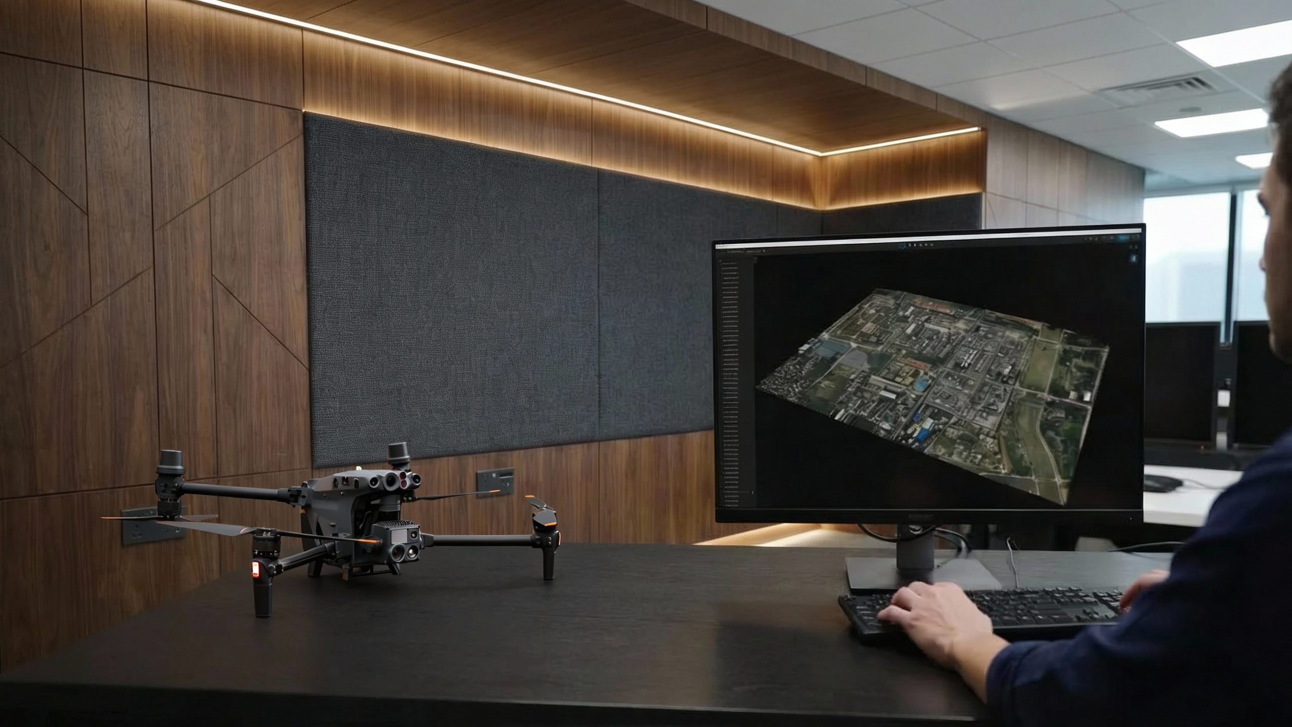
Transforming geospatial data into business intelligence and innovative solutions.
At Drone & GIS, our purpose is the driving force that guides us in every project. Our objective is to shape a smarter and more efficient future alongside leading market companies. For us, "shaping" means actively influencing, collaborating, and co-creating, utilising the power of geotechnologies to solve complex challenges.
In pursuit of our purpose, we rely on a team of experts dedicated to transforming aerial data into business intelligence. We believe that technological innovation must serve sustainability and optimisation. Therefore, we offer comprehensive solutions that include the development of specialised software and consultancy in drones and geotechnologies, always in partnership with our clients to define goals and transform them into tangible results.
We are constantly innovating and investing to ensure that our capabilities remain ahead of the market, with the broadest set of competencies to support the needs of our clients. At the same time, our values remain constant: excellence, customer focus, collaboration, and transparency.
With Drone & GIS, you have a partner that mobilises cutting-edge technology and technical expertise to drive the success of your business and contribute to a more sustainable future.
Our experts are the force that transforms technology into tangible results for your business.
The success of Drone & GIS is built upon the expertise and commitment of our team. We comprise a network of highly qualified experts who are passionate about technology and go beyond the mere operation of drones. Our professionals combine in-depth knowledge of geotechnologies, data analysis, engineering, and software development to transform every challenge into a smart and efficient solution.
We believe that talent is our greatest strength. Therefore, we invest in continuous training and foster innovation. Our experts are always up to date with the latest market trends, ready to apply best practices and the most advanced technologies to your project. They are the driving force that enables us to deliver high-quality results, detailed reports, and strategic insights that make a difference to your business.
With Drone & GIS, you are guaranteed to work with professionals who understand not only technology but also your business, dedicated to building lasting partnerships and driving your success.
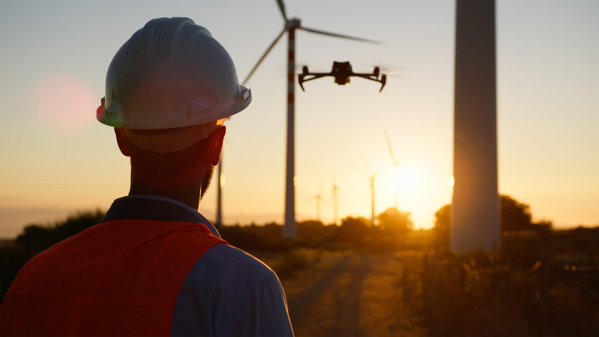
Partnerships that transform. Our clients and partners are the reason for our excellence and innovation.
At Drone & GIS, we build more than technological solutions: we build lasting strategic partnerships. Our clients and partners are the heart of our operations and the reason for our constant pursuit of innovation. We understand that each sector has its unique challenges, which is why we work side-by-side with leading companies in agriculture, energy, construction, environment, oil and gas, water and sanitation, and the public sector.
We believe that success is a two-way street. Our solutions are developed and refined based on the real needs and feedback of our clients. This collaborative approach allows us to not only meet but exceed expectations, delivering business intelligence that drives growth and optimises operations.
Our network of partnerships with technology providers and research institutions ensures that we are always at the forefront of innovation. Together, we create a robust ecosystem that allows us to offer the most advanced and reliable solutions on the market. Your trust in our work is our greatest asset, and we are dedicated to honouring it with excellence, transparency, and tangible results.
Optimising processes and driving the success of our clients through technology and innovation.

At Drone & GIS, our objectives go beyond commercial success: they focus on generating value and driving progress across various industries. We are dedicated to optimising processes and driving the success of our clients with cutting-edge technology and innovation.
Our core objective is to simplify complexity. We utilise aerial data and geotechnologies to provide clear, precise, and actionable information, transforming the way companies make decisions. We aim to be the strategic partner that empowers our clients to reduce costs, increase efficiency, and minimise operational risks.
Furthermore, we are committed to leading innovation in the sector. We continuously invest in Research and Development, exploring new applications for drones and Geographic Information Systems (GIS). Our goal is to create solutions that do not yet exist on the market, anticipating future needs and keeping our clients ahead of the competition.


Finally, we aspire to be a catalyst for sustainability. We believe that technology must serve a greater purpose. Our mapping and monitoring solutions contribute to more sustainable practices in areas such as precision agriculture, environmental management, and infrastructure inspection, helping to build a greener and more efficient future for all.
Transparency, integrity, and respect. Our operations are guided by strict ethics and compliance standards.
At Drone & GIS, our reputation is just as important as our results. Ethics and compliance are the cornerstones of all our operations, guiding every decision and action we take. We are committed to the highest standards of integrity, transparency, and responsibility in our relationships with clients, partners, employees, and society.
We prioritise strict adherence to all applicable laws and regulations across all jurisdictions in which we operate. This includes aviation safety standards, data protection laws, and environmental regulations. Our operations are built on a foundation of responsibility and transparency, ensuring that our projects not only meet but exceed compliance expectations.
Our code of conduct establishes the principles of honesty, respect, and fairness. We maintain a zero-tolerance policy towards unethical practices and foster a culture where every team member is encouraged to act with the highest level of integrity. By choosing Drone & GIS, you are choosing a partner that values trust and is dedicated to operating with the utmost ethics and professionalism under all circumstances.

Precision and excellence guaranteed. We deliver high-quality results, on time and with complete reliability.
At Drone & GIS, our excellence is proven by the quality of every delivery. We understand that our clients rely on our data to make critical decisions, which is why accuracy and reliability are at the core of everything we do. Our working methodology is rigorous and has been developed to ensure that every project meets the highest technical standards, from start to finish.
Our quality guarantees are based on a multi-stage data validation and control process. We utilise state-of-the-art equipment and advanced processing software to capture, process, and analyse information with centimetre-level accuracy. Every dataset undergoes a meticulous verification to eliminate errors and ensure that the delivered information is 100% reliable and consistent with the project's requirements.
Beyond quality, our commitment extends to efficiency and delivery timeframes. We know that time is a valuable resource. Therefore, our team operates with agility and strategic planning to ensure that results are delivered within the agreed timeframe, without compromising on precision.
You can count on Drone & GIS to deliver robust and reliable solutions, right on schedule, allowing you to proceed with your operations without delays.
At Drone & GIS, accuracy is not just a detail — it is our guarantee. To ensure maximum precision in every project, we utilise cutting-edge technologies, such as RTK (Real-Time Kinematic) or PPK (Post-Processing Kinematic) positioning systems. These systems correct data in real-time or post-flight, eliminating errors and ensuring that every data collection point is positioned with centimetre-level accuracy.
Our cartographic products are developed with stringent quality control. This ensures that the geometric accuracy of our deliverables meets or exceeds the agreed technical specifications. With Drone & GIS, you can be certain of receiving reliable, exact data, ready to underpin your most important decisions.

At Drone & GIS, technical excellence is our priority. To ensure that every delivery meets the highest standards of quality and functionality, we apply stringent validation and control processes across all phases of the project. Our technical compliance guarantee is a commitment that the products and services you receive are accurate, reliable, and in accordance with the required specifications.
We utilise workflows and methodologies that are aligned with industry best practices. This includes the use of state-of-the-art equipment, specialised processing and analysis software, and the supervision of qualified geotechnology professionals. Each final product undergoes a detailed verification to ensure its consistency, completeness, and adherence to the defined technical requirements.

We recognise that time is a critical resource for your project. Therefore, on-time delivery is not just a promise — it is a fundamental guarantee of our service. Our working methodology is structured to offer agility and efficiency, from initial planning through to the final delivery of data.
With Drone & GIS, you have the peace of mind that results will be delivered within the previously agreed schedule, allowing you to proceed with your operations without interruptions. Our dedication to punctuality is a reflection of our commitment to being a reliable partner, one that not only delivers high-quality data but also respects your time and operational needs.

At Drone & GIS, our partnership does not end with the delivery of data. Our commitment extends to comprehensive post-delivery support, ensuring that you derive maximum value and success from our solutions.
Upon project completion, our team of experts remains at your disposal. We offer direct and efficient communication channels so you can get in touch with us at any time. Should you need assistance in interpreting a report, integrating data into your internal systems, or resolving any technical issue, we stand ready to provide the necessary support swiftly.
We believe that service excellence is built upon trust and ongoing relationships. Our post-delivery support is a testament to our commitment to being a long-term partner, dedicated to ensuring that you have a seamless and successful experience.
We are expanding globally, bringing cutting-edge technology to wherever your business may be.
We are undergoing a process of strategic global expansion, establishing our presence in key markets to bring our expertise to new horizons.
Our expansion strategy is driven by the purpose of delivering business intelligence based on aerial data and geotechnologies to wherever our clients are. We are building a global network that allows us to offer localised support, operational agility, and a deep understanding of the specificities of each market.
With Drone & GIS, you have a partner that combines local knowledge with a global perspective, ready to drive the success of your business anywhere in the world.




Stay up-to-date with the latest news from the world of Drones and Geotechnologies.
The latest news from the world of Drones and Geotechnologies.
Flight plan · 23°33'S 46°38'W
In the coming weeks, we will launch a space dedicated to technical articles and case studies focused on geospatial intelligence, high-precision aerial surveying, advanced asset inspections, and intelligent spatial data management for decision-making in the industrial sector.