Methodology and Data Acquisition: Absolute Precision and Laser Scanning
At DRONE & GIS, we deliver high-precision aerial surveying solutions through advanced workflows that integrate LiDAR technology, data intelligence, and specialised technical standards. Our approach with active laser sensors focuses on capturing topography with centimetre-level accuracy and exceptional canopy penetration capability, ensuring that scale and geometric accuracy perfectly meet the most demanding requirements of engineering, large-scale infrastructure projects, and mining.
To facilitate complex projects with maximum structural and topographic fidelity, we operate a robust technological ecosystem that combines:
High-Density LiDAR Sensors: Utilisation of state-of-the-art laser profilers with multiple return technology. These sensors emit hundreds of thousands of pulses per second, enabling vegetation penetration to capture the bare earth and generate structural 3D Point Clouds with an exceptionally high level of detail.
Inertial and Geodetic Positioning Technology: Integrated operation with high-performance Inertial Navigation Systems (IMU) and dual-frequency GNSS receivers (RTK/PPK). Supported by ground-based geodetic stations, we ensure fine adjustment of flight trajectories, delivering absolute georeferencing with centimetre-level accuracy and total cartographic reliability
Intelligence in Spatial Data Processing: Advanced processing on specific platforms for rigorous calibration and automated classification of the LiDAR point cloud. This workflow transforms dense data into exact Digital Terrain Models (DTM), essential for decision-making where traditional photogrammetry falls short, enabling the development of precise Digital Twins.
LIDAR SOLUTION
This solution is based on laser detection and scanning, utilising pulses in the near-infrared spectrum, imperceptible to the human eye. This method enables the exact measurement of distances and the detailed surveying of the surrounding environment. As an active sensor, the pulses hit the target and part of the light is reflected back to the equipment; the system estimates the return time of the pulse to determine the precise distance of the object, generating highly reliable three-dimensional data.
PRECISION THROUGH VEGETATION
As a laser scanning method, the technology offers an extremely high degree of detail, capturing millions of points per second..
Thanks to the active sensor and excellent return rates, it is possible to penetrate dense vegetation and obtain terrain and structural models that are substantially more accurate compared to traditional topographic methods..
MINIMAL ENVIRONMENTAL IMPACT
The use of Drone-borne LiDAR sensors eliminates the need for physical incursions that can disturb local flora and fauna..
By digitising the terrain from the air, we ensure the integrity of fragile habitats, providing exact data for ecological studies and environmental diagnostics without altering the natural state of the ecosystem..
Site Preparation and Excavation
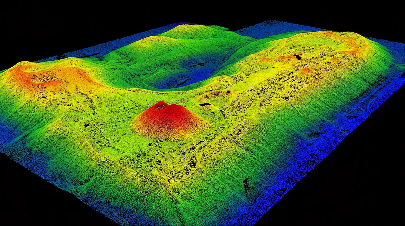
The application of LiDAR technology generates high-precision topographic data, fundamental for supporting critical cut, fill, and grading decisions..
By ensuring the fidelity of the natural terrain in relation to the engineering design, a solid foundation is established for the infrastructure, mitigating risks of geometric errors and optimising the physical and financial programmes of the works..
STRATEGIC APPLICATIONS OF LIDAR SURVEYING
Discover how DRONE & GIS's LiDAR technology delivers centimetre-level accuracy and operational efficiency to the most demanding global industries, ensuring exact data for secure decision-making.
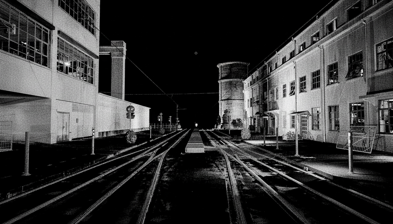
Linear Infrastructure (Railways, Highways, and Mobility)
The Solution: Precision mapping of major transport corridors (hundreds or thousands of kilometers) in record time..
The Value: Generation of accurate longitudinal and transverse profiles, identification of road anomalies, planning of road network expansion and analysis of gauge interferences, ensuring operational safety and preventive maintenance of logistics infrastructure.
Electricity Sector and Renewable Energies
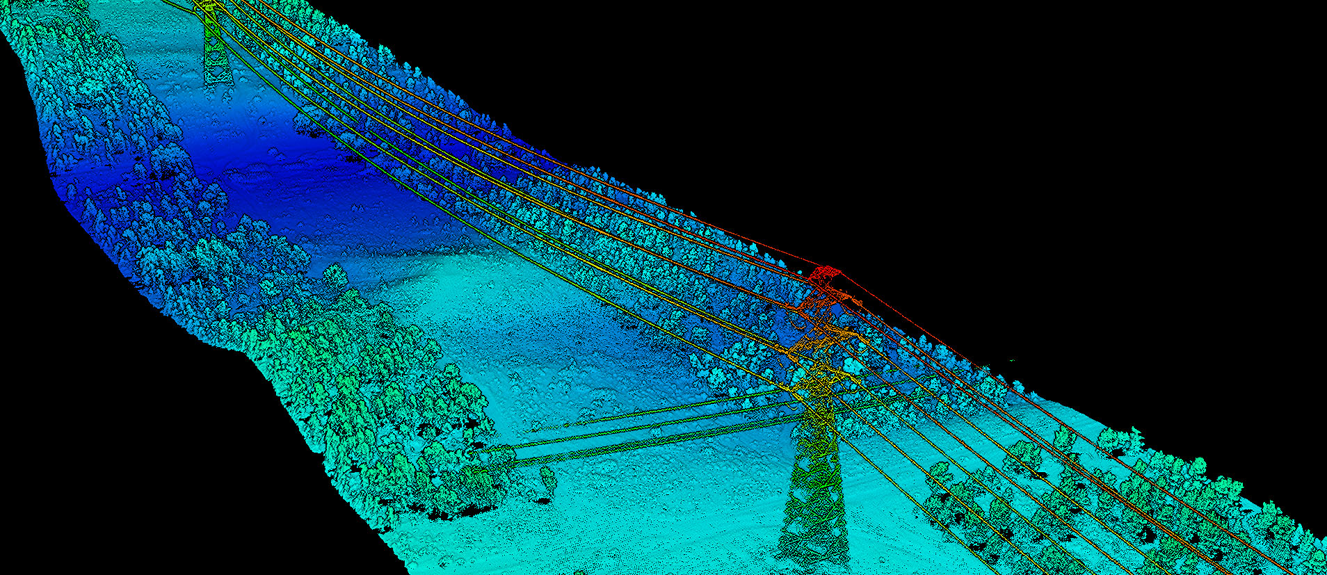
The Solution: High-density 3D scanning for transmission lines (TLs) and large solar and wind power complexes.
The Value: Precise modeling of cable catenaries under different load conditions, identification of vegetation encroachment in the right-of-way (risk of falling debris and fire), and detailed topographic planning for the implementation of new energy parks.
Telecommunications Infrastructure and Critical Structures
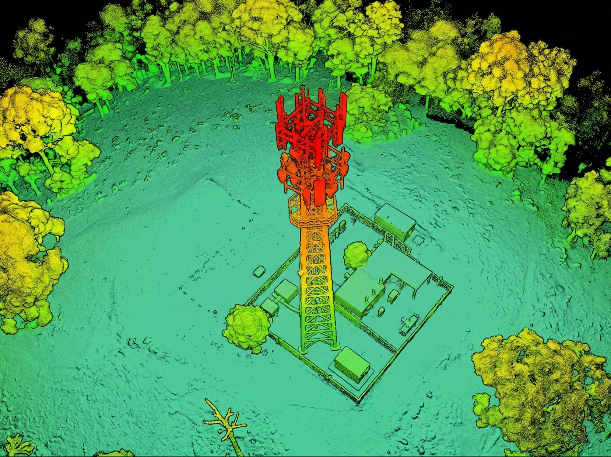
The Solution: Detailed laser scanning of towers, antennas, and complex vertical structures.
The Value: Creation of Digital Twins for structural auditing, line-of-sight analysis, cloud-based asset management, and network expansion planning (such as 5G) with millimetre-level accuracy, eliminating the need for hazardous climbs for measurements.
Mining and Earthmoving
The Solution: Robust topographic surveys in areas with difficult access or intense operational activity.
The Value: Thanks to vegetation penetration and high point density, LiDAR allows for exact volumetric calculations of pits and stockpiles, dam planning, slope stability analysis, and expansion projects, optimising safety and cash flow for mining companies.
Civil Engineering, Ports and Airports
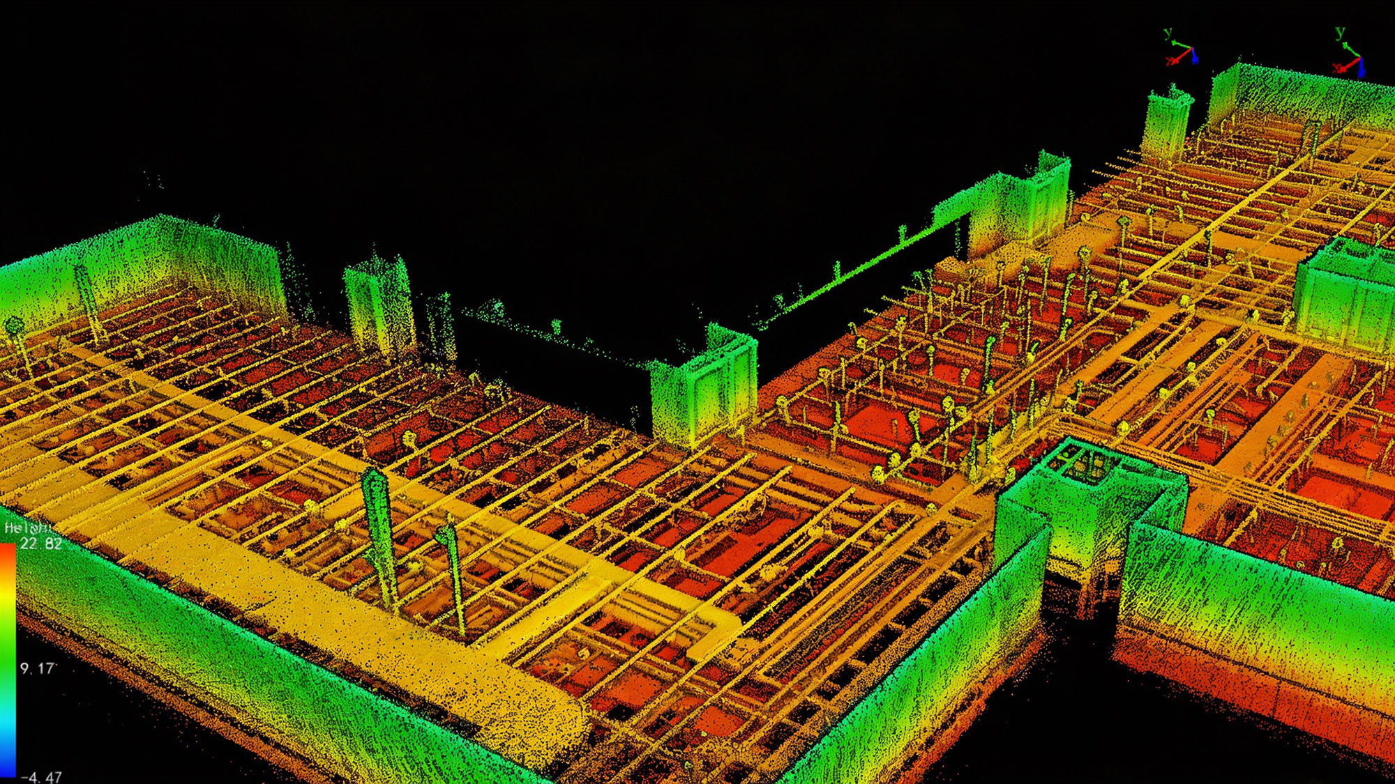
The Solution: As-built surveys of large logistical complexes and direct integration with BIM methodology.
The Value: Provision of base data (Point Cloud and Digital Terrain Model) with rigorous accuracy for earthworks, drainage, yard expansion, and heavy construction projects, ensuring that the virtual design corresponds perfectly to the actual terrain.
Environmental and Forestry Management
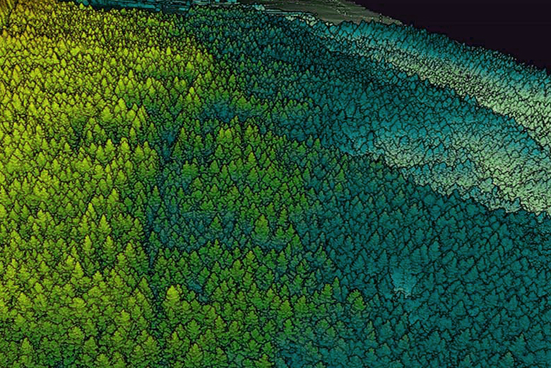
The Solution: Structural analysis of vegetation through multiple laser pulse echoes.
The Value: Forest canopy modelling, biomass calculation, tree counting, and exact delineation of preservation areas, providing essential geospatial intelligence for corporate sustainability projects and environmental licensing.
Urban Planning and Modelling for Smart Cities
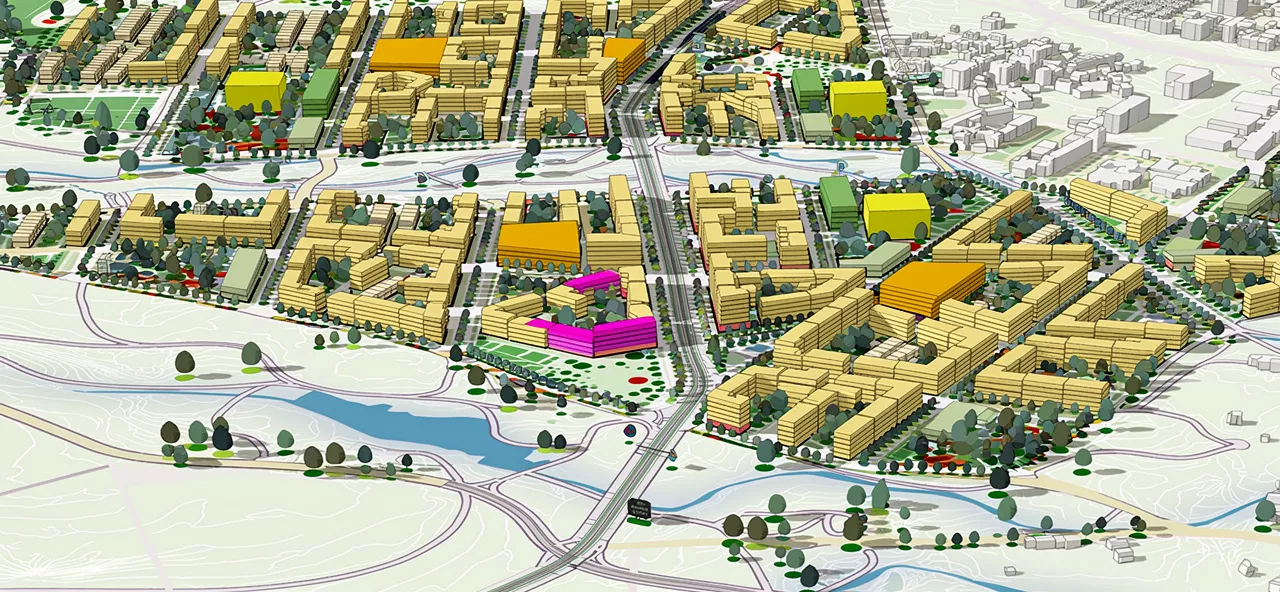
The Solution: Laser scanning of extensive urban areas to generate highly accurate 3D cartographic bases and Digital Elevation Models.
The Value:Delivery of the necessary data infrastructure for the development of smart and connected cities.LiDAR data serves as an irrefutable baseline for drainage simulations, flood control, mobility route planning, land registry updates, and technical cadastre renewals, supporting public administration and real estate expansion..
How We Can Help
Get in touch and schedule a consultation with our experts; it will be a pleasure to assist you!