Using advanced algorithms, we process data and images captured by aerial and ground-based sensors to create digital models and detailed analyses, offering high-precision solutions for various sectors of the global industry.
With extensive experience in converting raw geospatial data into actionable intelligence, DRONE & GIS utilizes cloud infrastructure and high-performance computing to deliver cartographic products with the speed and reliability your project demands.
Cartographic Products High Precision
Online platform Asset Management
Quality Reports
Compatibility with aerial and/or terrestrial imagery or multisensor data.
Robust Infrastructure for Processing Complex Data
Digital Image Processing
More than just a technical process, Digital Image Processing is the bridge between raw images and the intelligence of your project. It is at this stage that we decode the data, generating precise cartographic products ready for analysis. Digital Processing tools extract valuable information and allow for visual and quantitative interpretation, transforming simple photos into clear answers for your project. your decision-making.
Data Capture
With sophisticated embedded technology, drones have become powerful tools in aerial mapping, as they allow for the efficient and safe transport of various image capture systems for different types of applications, with high-quality, high-performance, and safe automated flights.
High Precision Products
Whether captured by drones or satellites, raw data is just the starting point. Through digital processing using specialized software, we convert these images into highly accurate 3D maps and models. This transformation allows us to go far beyond the visual, enabling three-dimensional measurements, the creation of high-quality reports, and data classification to generate essential qualitative indices, such as NDVI.
Capture Technologies and Advanced Sensors
The choice of sensor to be attached to the drone or satellite depends directly on the purpose of each project. This decision is fundamental, as it defines both the type of information that will be collected and the necessary processing techniques. The most commonly used sensors for these purposes are:
RGB Sensors
High-resolution cameras that capture images in the visible spectrum (red, green, and blue), recording the exact reality of the mapped area. Their ability to differentiate colors opens up a range of applications, from industrial quality control to crop health analysis.
Main Applications
Civil Engineering and Construction • Mapping and Topography; • Structural Inspection; • Construction Monitoring; • Facade and Structure Inspection; • Materials Analysis.
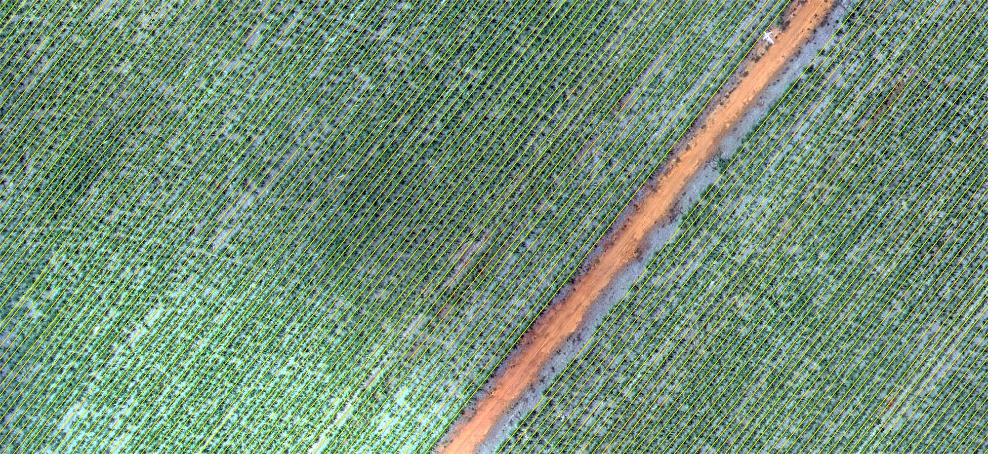
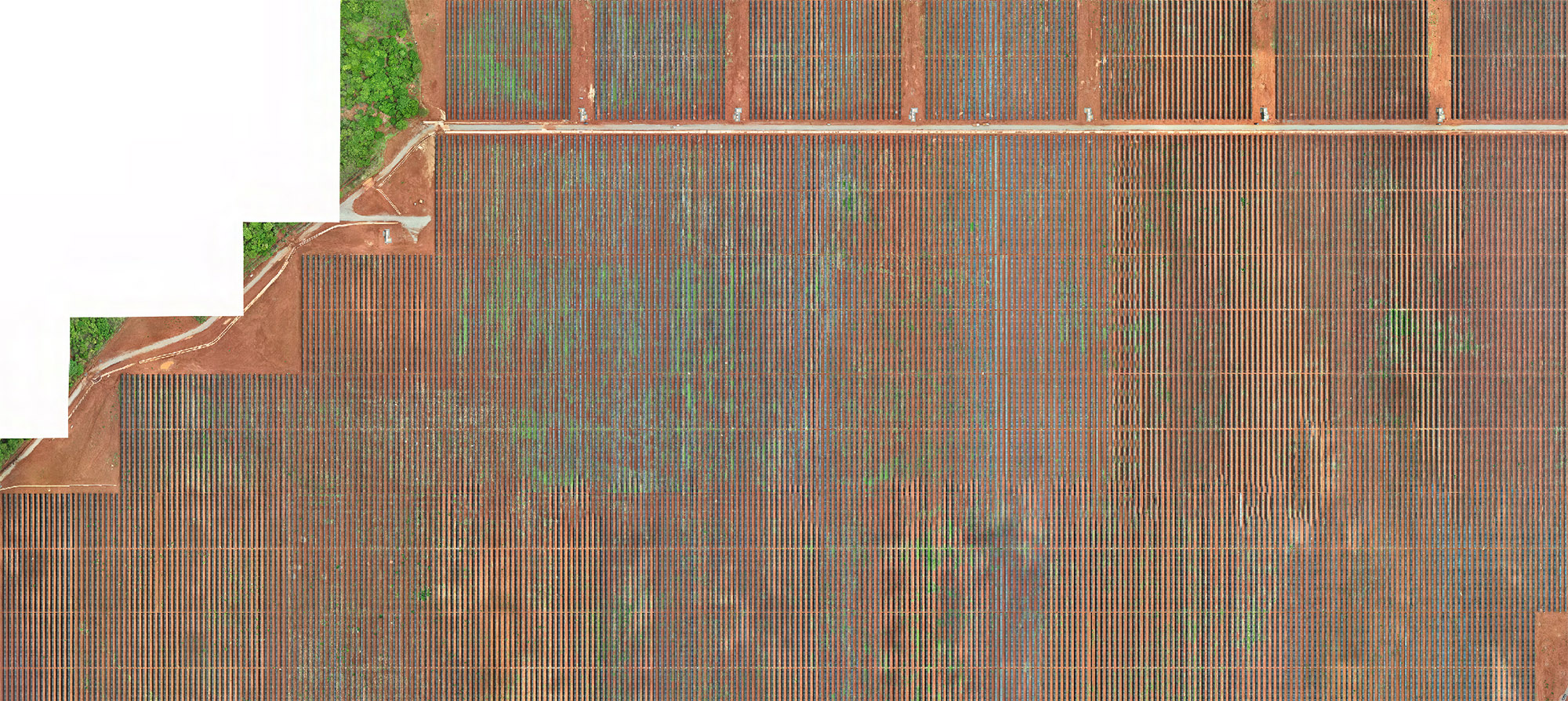
Precision Agriculture • Mapping of Planting Lines and Gaps; • Plant Population Estimate; • Detection of Water Stress and Diseases; • Mapping of Crops; • Classification of Fruits and Vegetables.
Quality Control and Inspection • Product Inspection; • Component Verification; • Fault Detection; • Civil and Metal Inspection.
Industrial Automation and Robotics • Object Detection and Classification; • Navigation and Location; • Process Control.
Multispectral Sensors
Unlike a conventional (RGB) camera that captures visible light in three broad bands (red, green, and blue), a multispectral sensor is an advanced remote sensing technology that measures the energy reflected by objects in multiple, specific bands of the electromagnetic spectrum. These bands, often narrow and well-defined, include ranges invisible to the human eye, such as near-infrared (NIR) and the red edge.
Main Applications
Precision Agriculture • Monitoring Vegetation Health; • Detection of Water and Nutritional Stress; • Identification of Pests and Diseases; • Plant Count and Crop Estimate.
Geology and Mining • Geological Mapping; Mineral Prospecting.
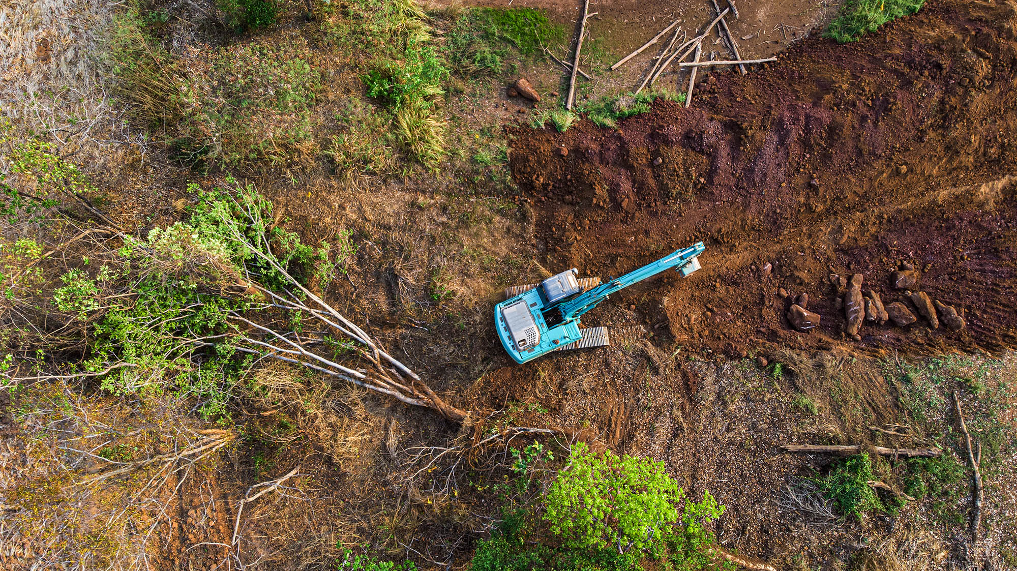
Environmental and Forestry Monitoring • Mapping of Deforestation and Wildfires: • Water Quality: • Forest Management.
Other Applications • Urban Studies; • Defense and Security; Disaster Management.
Thermal Sensors (Thermal Infrared)
A thermal sensor, also known as a thermal camera or thermal imager, is a device that detects infrared radiation emitted by all bodies with temperatures above absolute zero. Unlike a regular camera that captures visible light, the thermal sensor "sees" heat, transforming infrared energy into a visible image, where each color represents a different temperature.
Main Applications
Predictive and Industrial Maintenance • Electrical Inspection; • Mechanical Inspection; • Process Monitoring.
Firefighting and Rescue Operations • Navigation in Smoky Environments; Search and Rescue; • Analysis of Forest Fires.
Civil Engineering and Building Inspection • Detection of leaks and moisture; • Energy Efficiency Analysis; • Inspection of HVAC Systems.
Security and Surveillance • Perimeter Surveillance; • Tactical and Military Operations; • Border Control.
LiDAR sensors
LIDAR, an acronym for Light Detection and Ranging, is a remote sensing technology that has revolutionized how we interact with and understand our surrounding environment. Functioning like a "laser radar," the system emits thousands of light pulses per second and measures the time it takes for them to return after hitting an object. Based on this "time of flight," it calculates distances with millimeter precision, generating a detailed three-dimensional map of the environment, known as a point cloud.
Main Applications
Topography, Civil Engineering and Construction • Topographic Surveys; • Construction Monitoring • Infrastructure Inspection.
Autonomous Vehicles and Driver Assistance Systems • 360° Perception; • Object and Distance Detection; • High Definition Mapping (HD Maps).
Environmental and Forestry Monitoring • Forest Inventory; • Relief and Hydrography Analysis; • Ecosystem Monitoring.
Other Relevant Applications • Mining and Aggregates; • Robotics and Industrial Automation; • Urban Planning and Smart Cities.
Archeology • Discovery of Archaeological Sites; • Detailed Mapping.
CARTOGRAPHIC PRODUCTS
In all our solutions, we guarantee centimeter-level accuracy for 2D and 3D products, ideal for large-scale projects. The quality and precision of the data are rigorously proven through detailed technical reports generated by specialized software. We develop fully customized end products to meet the demands of each client, including:
2D Orthomosaic
Colorful Dot Clouds
Digital Surface Model (DSM)
Digital Terrain Model (DTM)
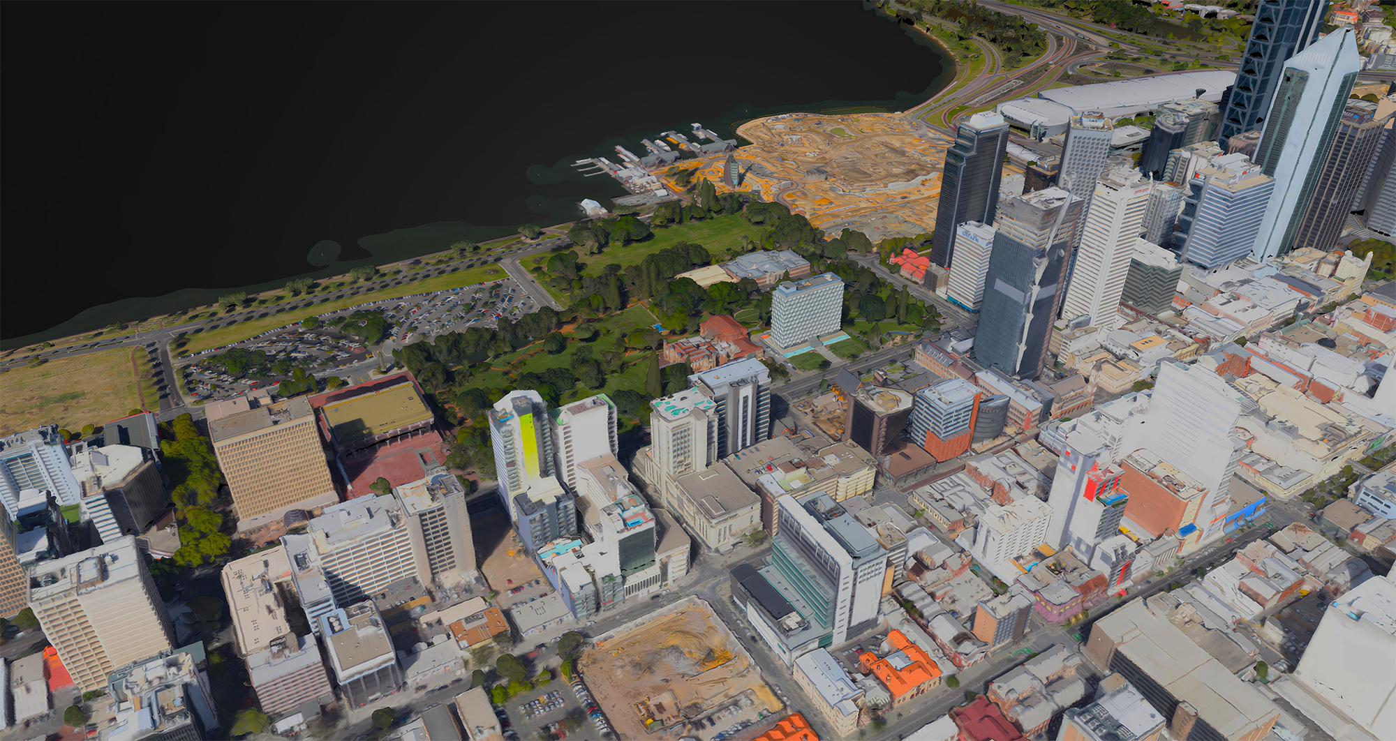
3D Digital Model
Contour Lines
Index Maps
Thermal Maps
Data analysis and application
The versatility of products generated by Image Processing allows them to be used as a high-resolution geospatial data matrix. From this matrix, we extract multiple attributes and metrics, generating a complete overview of the study area through quantitative data (measurements, statistics, and volumes) and qualitative data (patterns, classifications, and trends). It is possible to explore the full analytical potential of the images through:
Analysis of Vegetation Indices
Land Use and Occupation Classification
Measurement of Planimetric and Altimetric Distances
Georeferencing
Area and Volume Calculation
Boundary and Structure Detection
Temporal Analysis
Analysis of Thermal Maps
Visualizing 3D Models Faithful to Reality
Knowledge of Topography
INDUSTRY APPLICATIONS
Digital Image Processing is a transformative technology that optimizes processes and reduces operational costs, overcoming the limitations of access and scale of traditional land surveys. By analyzing data from sensors that capture invisible spectra, the technology reveals targets and anomalies that would otherwise go unnoticed. Its versatility allows for application in numerous global sectors:
Topographic Survey
It makes the extraction of topographic information more efficient and secure, enabling the mapping of extensive inaccessible areas in less time, generating accurate cartographic products.
Precision Agriculture
It allows for large-scale crop monitoring to optimize the use of water and soil amendments, analyzing stress levels and predicting crop yields..
Mining and Aggregates
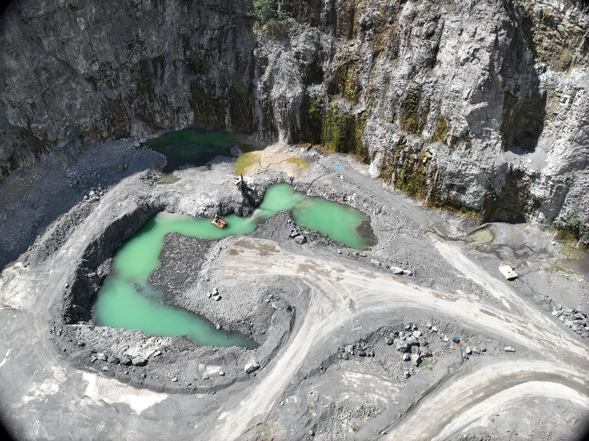
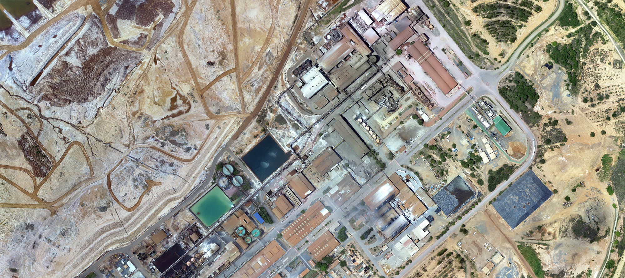
It enables the safe and sustainable management of assets, assisting in the prospecting of deposits, the operational monitoring of dams, tailings ponds and slopes, and the recovery of areas..
Energy and Utilities
It redefines the inspection of critical infrastructure (transmission lines, power plants, and substations), offering a faster, safer, and smarter approach compared to traditional methods..
Environmental Preservation
It provides time series analyses to study environmental impacts, assisting in water resource management, pollution control, and monitoring using satellites and drones.
Architecture, Engineering, and Construction
Aerial data processing is cross-referenced with BIM models in GIS environments, enabling temporal monitoring and real-time interference detection.. This combination creates Digital Twins, which are fundamental for predictive maintenance and precise volumetric calculations..
Urban Planning
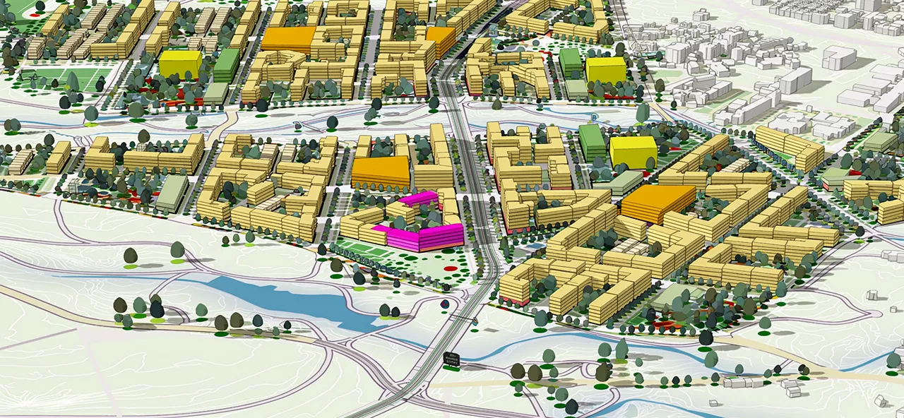
It enables precise spatial analysis to monitor urban expansion, manage public infrastructure, and ensure the best mobility solutions for Smart Cities..
Oil and Gas
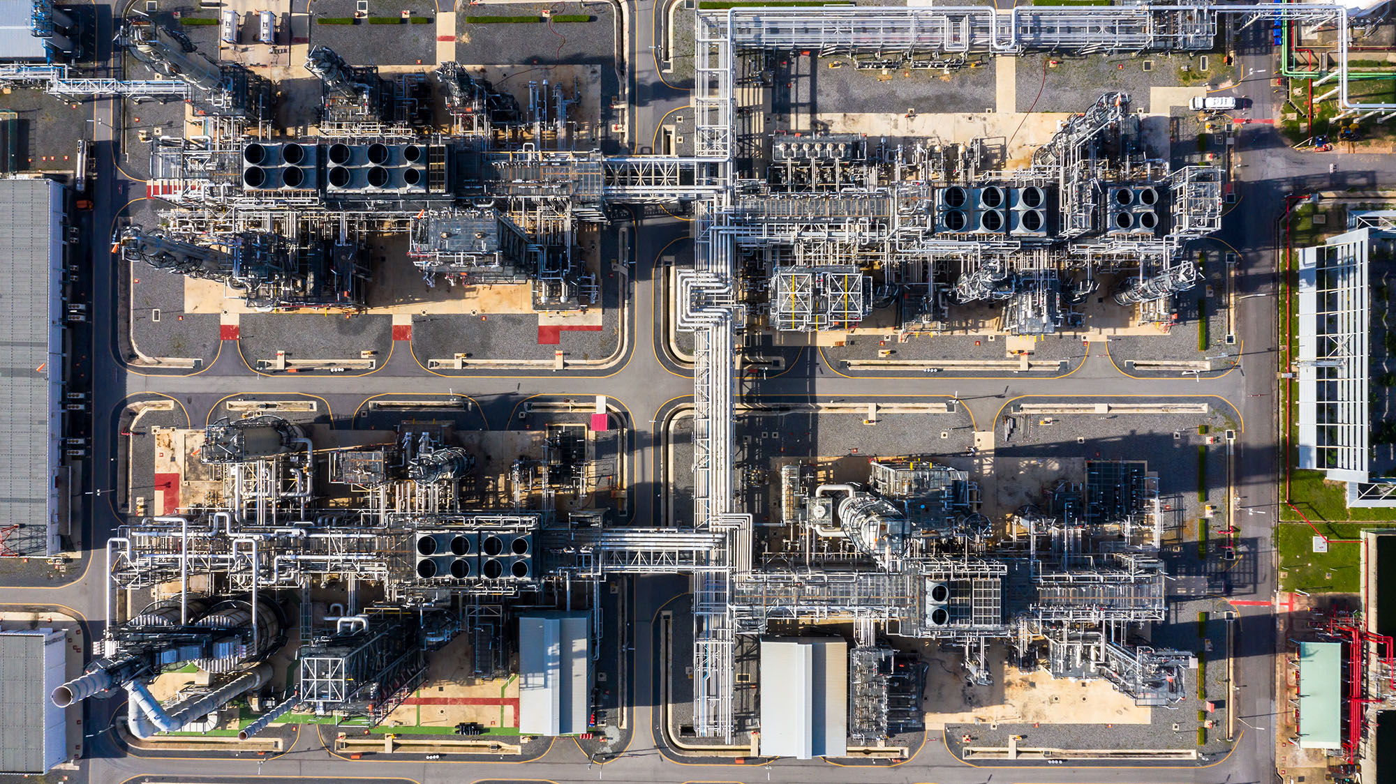
Transforms the entire production chain (upstream to downstream), safely inspecting complex and remote infrastructures through the integration of multiple sensors (RGB, thermal, LiDAR, and gas detectors) for actionable reports.
Industrial Areas
The sector adopts these tools as an essential mechanism to optimize operations, ensure predictive maintenance, and enable continuous environmental monitoring, benefiting from speed, accuracy, and cost efficiency..
How We Can Help
Get in touch and schedule a consultation with our experts; it will be a pleasure to assist you!