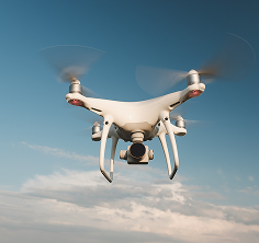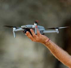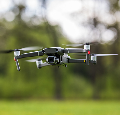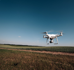
Drones have revolutionized the way we capture and analyze geospatial data. Sectors such as engineering, agriculture, and the environment have benefited enormously from this technology.
1. More precise topographic surveys
With sensors like LiDAR and high-resolution cameras, drones enable detailed terrain mapping, reducing costs and increasing accuracy.
2. Precision agriculture
Drones monitor crops, identify areas with pests, and optimize irrigation, ensuring greater productivity.
3. Environmental monitoring
With drones, it's possible to monitor deforestation, erosion, and changes in the landscape more quickly and efficiently.
4. Structural inspections
Drones are replacing traditional methods in inspections of bridges, power towers, and oil platforms, offering greater safety and reducing operating costs.