Aerial precision in every project. Geospatial data for roads.
Safer and more efficient, from planning to maintenance.
A DRONE & GIS It elevates transportation infrastructure engineering to a new level, integrating the power of Unmanned Aerial Vehicles with the most advanced Geotechnologies.
Our remote sensing and spatial analysis solutions provide high-precision geospatial data, essential for optimizing the asset lifecycle, from planning to maintenance.
We use drones equipped with RGB and LiDAR (Light Detection and Ranging) sensors to acquire large-scale data with centimeter-level precision.
Our methodology utilizes drones equipped with LIDAR technology to perform highly accurate topographic surveys. The collected data is transformed into topographic maps and 3D terrain models, essential for planning road projects.
With this information, it is possible to identify complex elevation differences, optimize the layout of new roads, and perform volumetric cut and fill calculations with great accuracy. This translates into greater efficiency in the design and execution of the work, reducing costs and time.
Based on data processing, we deliver a complete portfolio of engineering products:
The initiative consists of compiling a detailed, georeferenced registry of the highway's right-of-way. The data collection includes the precise delimitation of the road's legal boundaries, the characterization of adjacent properties, and an inventory of the existing infrastructure.
This resource is consolidating itself as a strategic tool, providing legal certainty and efficiency in conducting expropriation procedures and serving as a foundation for the planning and execution of future works and improvements.
Using high-resolution cameras, we accurately map and identify cracks, potholes, and deformations on the asphalt surface. Furthermore, thermal imaging cameras reveal problems that are not visible to the naked eye.
This approach allows for the early identification of pathologies, enabling preventive maintenance and optimizing the allocation of resources, resulting in greater safety and durability of the roadway.
Thermographic inspection of roads and highways is an advanced technique that uses thermal sensors to identify temperature anomalies.
Our approach allows for the analysis of electrical panels, signaling systems, and foundation structures to detect problems such as overheating, component failures, and moisture infiltration in their early stages.
Early detection is essential for predictive maintenance, reducing the risk of critical failures, optimizing equipment lifespan, and ensuring operational safety of the track.
Regular inspections of areas at risk of landslides allow for the collection of detailed data which, when analyzed, generate risk maps and indicate the need for interventions.
This continuous monitoring allows for the early identification of ground movements and the making of strategic decisions to prevent accidents and ensure the stability of structures.
For inspections of road and highway engineering structures, we use drones as a fundamental tool for analyzing complex structures.
They not only make the process safer and more efficient, eliminating the need for dangerous access methods, but also enable the collection of high-quality data. The images and information collected are used to generate detailed 3D models of the structures.
These models serve as a basis for in-depth structural analysis, facilitating the identification of cracks, flaws, and other anomalies that might go unnoticed in conventional inspections.
Before any road engineering project, feasibility analysis is essential and can be optimized with the use of drones and geotechnologies. This approach speeds up data collection, providing geospatial and environmental information that is used for the technical feasibility analysis of the route and the study of environmental impact.
The result is the acquisition of detailed and accurate data, which allows for safer decision-making and the minimization of risks and costs during the planning and execution phases.
DRONNE & GIS develops the Georeferenced Asset Inventory, a strategic initiative for the management of roads and highways.
The system establishes a direct link between the geographic location of each asset — including signage, drainage systems, and structures — and a set of detailed technical data, maintenance history, and inspection records.
This integration of information enables more efficient and proactive management, ensuring more accurate maintenance planning and a faster response to any needs on the road.
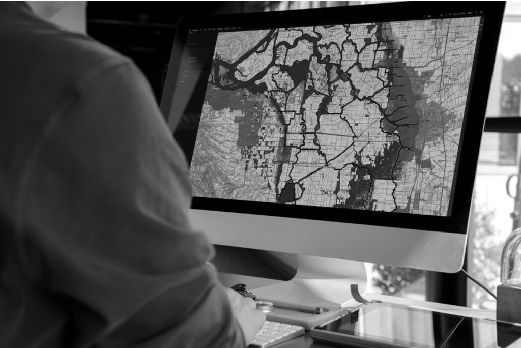
Mapping and spatial analysis are crucial for decision-making in road projects. Through GIS tools, we perform predictive analyses that transform raw data into valuable information for management.
These analyses allow us to predict maintenance needs in specific sections, optimize inspection routes, reducing time and costs, and provide a solid basis for strategic intervention planning, ensuring that resources are allocated intelligently and efficiently.