Environmental Inspection, Monitoring and Conservation
Integrated solutions for a greener future. We offer the best technology to optimize environmental management with comprehensive analyses and assertive decisions.
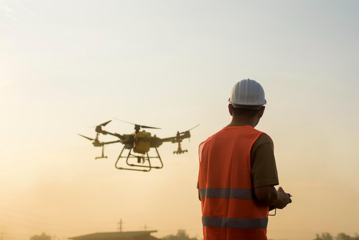
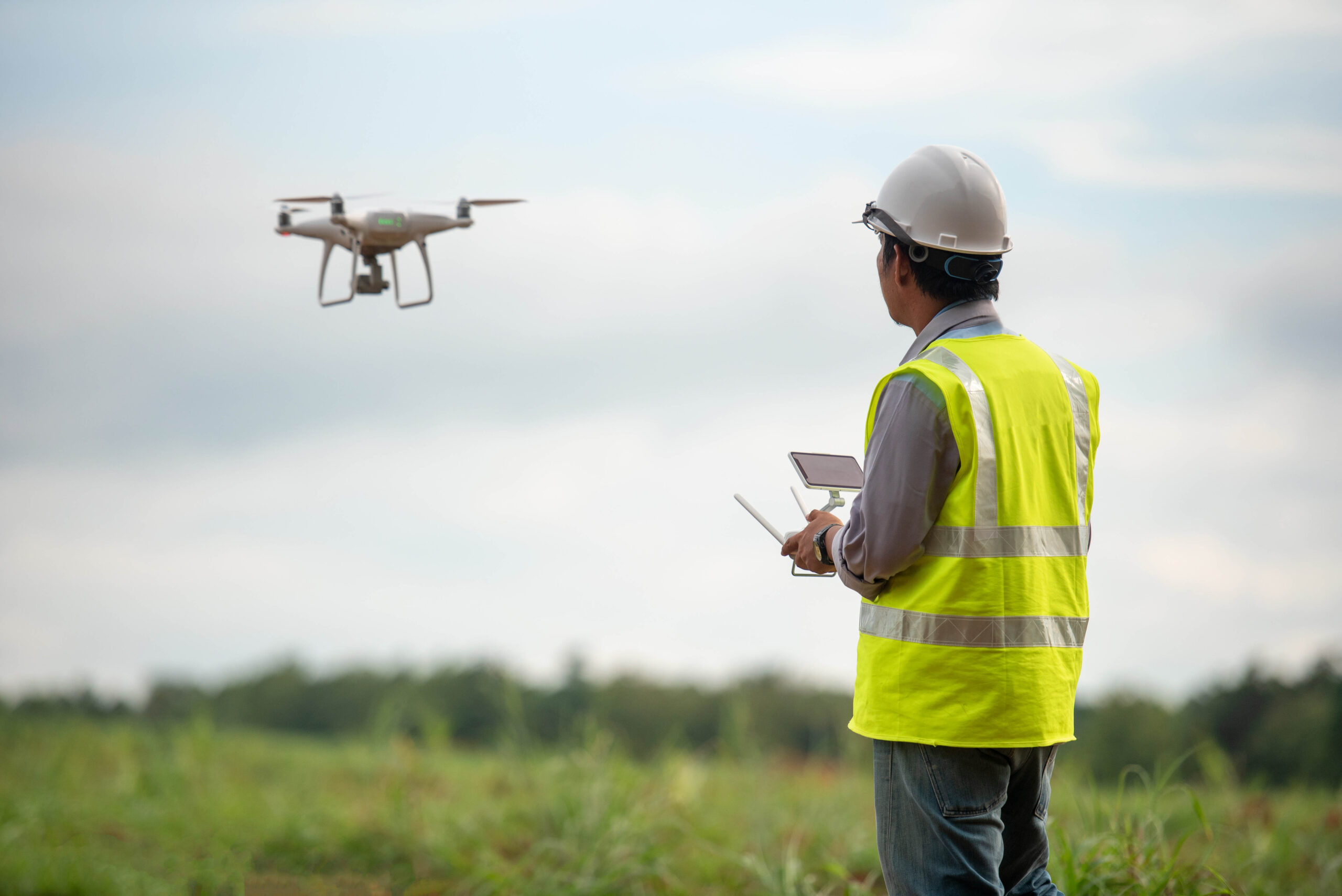
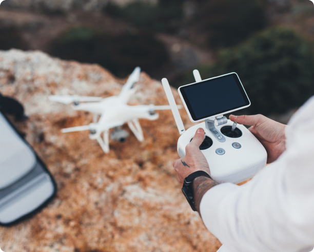
Aerial and ground mapping, inspection, and monitoring solutions from DRONE & GIS They have revolutionized the way industry and regulatory bodies manage and protect the environment.
Our technologies offer an unprecedented ability to collect accurate, real-time data, enabling faster and more effective decision-making.
With our solutions, you get:
Accuracy and Detailed Data Collection
Technology allows for the capture of high-resolution data with a precision that would not be possible with traditional methods. Drones and orbital sensors collect detailed images, providing essential information about vegetation health, land use, and topography. This wealth of data is fundamental for in-depth analysis.
Greater Security
For professionals, the use of drones eliminates the need to access hard-to-reach or high-risk areas, such as steep slopes, dense forests, or mining sites. This increases the safety of field operations, protecting the team.
Efficiency and Cost Reduction
Drones and orbital sensors collect detailed images, elevation models, and spectral data, providing essential information about vegetation health, land use, and topography. This wealth of data is fundamental for in-depth analysis.
Data Integration for Efficient Environmental Management
The major advantage is the ability to integrate aerial and ground data into specific software platforms within the application. This combination of information from different sources allows for a more complete and strategic analysis, driving proactive environmental management.
OUR EXPERTISE
The fusion of data from drones, satellites, and ground and water sensors, combined with our expertise and powerful software... GIS It allows not only reacting to problems, but also anticipating them and acting preventively, making environmental monitoring safer, more accurate and sustainable.
Specific sensors, one camera for each project.
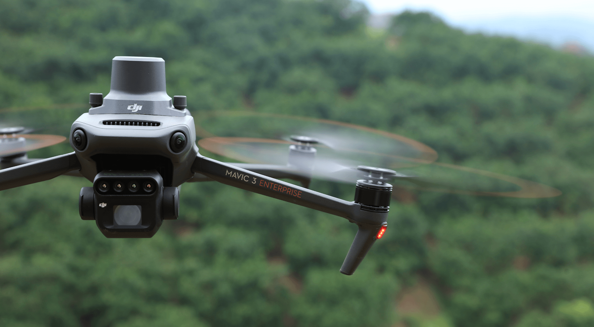
The sensors (cameras) installed on the aircraft influence the type of image captured and, therefore, its potential use. Below is a quick guide to the most commonly used sensors in this sector:
High-Resolution RGB Sensors
Essential for visual mapping and the creation of high-precision orthophotos and 3D models. They are used to monitor deforestation areas, map land use, and inspect infrastructure in a visually detailed manner.
Multispectral Sensors
They capture data in different light bands, invisible to the human eye. They are ideal for assessing vegetation health and plant vigor (using indices such as NDVI – Normalized Difference Vegetation Index). This technology is crucial for detecting pests, diseases, or water stress in crops and forests.
Thermal Sensors
They record infrared radiation, detecting temperature differences. They are used to identify heat sources in forest areas (preventing and monitoring fires), map leaks in tailings dams, and inspect solar panels and transmission lines.
LiDAR (Light Detection and Ranging) sensors
They use laser pulses to create extremely precise digital elevation and surface models. They are ideal for generating topographic data in densely vegetated terrain, as the laser penetrates the tree cover to map the ground.
Applications of Drone Technology and Geographic Information Systems (DRONE & GIS) in Environmental Management.
Precise Land Use and Occupation Mapping with Cutting-Edge Technology
By strategically combining high-resolution satellite imagery and drone aerial photogrammetry, we create highly accurate land use and land cover maps. This in-depth analysis is crucial for:
To identify changes in the landscape and monitor the progress of deforestation.
Validate environmental preservation areas, such as Permanent Preservation Areas (APPs) and Legal Reserves (RLs).
Our algorithms, which use Artificial Intelligence, are able to Clearly classify the different land use categories, precisely differentiating native vegetation, agricultural areas, reforestation, and water bodies, among others. The result is a detailed and reliable view of the territory.
Assessing Ecosystem Health with Advanced Sensors
Our technology utilizes drones equipped with multispectral and thermal sensors to assess vegetation health over large areas and monitor the quality of water resources.
Vegetation Assessment:
We use vegetation indices such as NDVI and NDRE to identify, at early stages, water stress, nutrient deficiencies, or the presence of pests and diseases. This allows for quick and precise actions to protect crops and native vegetation.
Water Resources Monitoring:
Thermal sensors help us identify temperature anomalies in rivers and lakes. This analysis can reveal potential sources of pollution or changes affecting aquatic ecosystems.
With this approach, we guarantee a detailed and proactive view of the environmental health and sustainability of your project.
Risk Analysis and Planning for Critical Areas
With the creation of Digital Terrain Models (DTM) and Digital Surface Models (DSM) Using high-resolution techniques, we conduct detailed analyses of slope and topography. This process is fundamental for identifying areas with a high risk of... landslides, floods or erosion.
By combining this information with precipitation data and soil types, we provide a solid foundation for:
Develop effective contingency plans.
To plan new infrastructure in a safe manner, minimizing risks in areas of environmental interest.
This strategic approach ensures that your project is developed in a safer and more sustainable way, protecting people, property, and the environment.
Monitoring of Protected Areas and Ecological Corridors
With our Unmanned Aerial Vehicles (UAVs) capable of large-scale flights and equipped with multispectral cameras, we closely monitor the health of native and reforested areas.
We generate maps of NDVI (Normalized Difference Vegetation Index) for a detailed analysis that allows:
Assessing the health of the vegetation: We identified areas of stress or areas in good condition.
Monitor invasive species: We have detected the spread of exotic species that may threaten native flora.
Evaluate restoration projects: We measure the effectiveness of reforestation and environmental restoration actions.
This technology gives us a precise view for the protection and management of ecosystems, ensuring long-term sustainability.
High-Precision Environmental Audits and Compliance
Our environmental audit and compliance service uses aerial drone surveys to generate accurate technical reports that meet the requirements of regulatory bodies.
With the highly accurate data we collect, it is possible to:
To verify compliance with the conditions of environmental licenses.
To monitor the implementation of Degraded Area Recovery Plans (PRAD).
To identify environmental liabilities in a clear and documented manner.
Each project results in Geospatial deliverables ready for use on GIS platforms. We provide high value-added Cartographic Products, ensuring data integration with your management tools.
Strategic Environmental Intelligence: Monitoring and Management Solutions
Biodiversity and Habitat Monitoring
Wildlife Tracking Our aircraft can track and monitor animal populations, migration patterns, and behavior without direct human interference, minimizing disturbance to wildlife.
Habitat Mapping They can map and assess changes in ecosystems, identify threats, and prioritize areas for conservation.
Plant Health To track and monitor animal populations, migration patterns, and behavior without direct human interference, minimizing disturbances to wildlife.
Environmental Pollution and Resource Management
Air and Water Quality Monitoring Our drones can measure air and water pollution levels, identify sources of contamination, and track the spread of pollutants.
Leak Detection Detecting gas leaks in pipelines and industrial facilities helps prevent environmental damage and ensure safety.
Waterway Monitoring and Coastal Surveys They can monitor flows and discharges in waterways, assessing potential pollutants and environmental stressors; map and monitor coastal landscapes, tracking erosion, changes in the coastline, and the impact of human activity.
Forestry and Agriculture
Fighting Forest Fires Our drones can assist in the detection, monitoring, and mapping of fires, helping to control the spread of forest fires.
Seed Dispersal They can disperse seeds and plants in deforested areas, aiding in reforestation efforts.
Agricultural Monitoring Drones can assess crop health, monitor irrigation, and identify areas of pest infestation.
Climate Change
Data Collection Our aircraft have the capability to collect data on climate variables such as temperature, humidity, and CO2 levels, contributing to research on climate change. This technology helps to understand the dynamics of air pollution and greenhouse gas emission patterns.
Ecosystem Monitoring Our technology can monitor the health of ecosystems, track glacier melt, sea level, and water and soil quality. This information is essential for understanding the impacts of climate change and planning adaptation strategies. It can map large areas, identify hotspots of illegal deforestation, and detect forest fires quickly.
Web-based Asset Management Platform
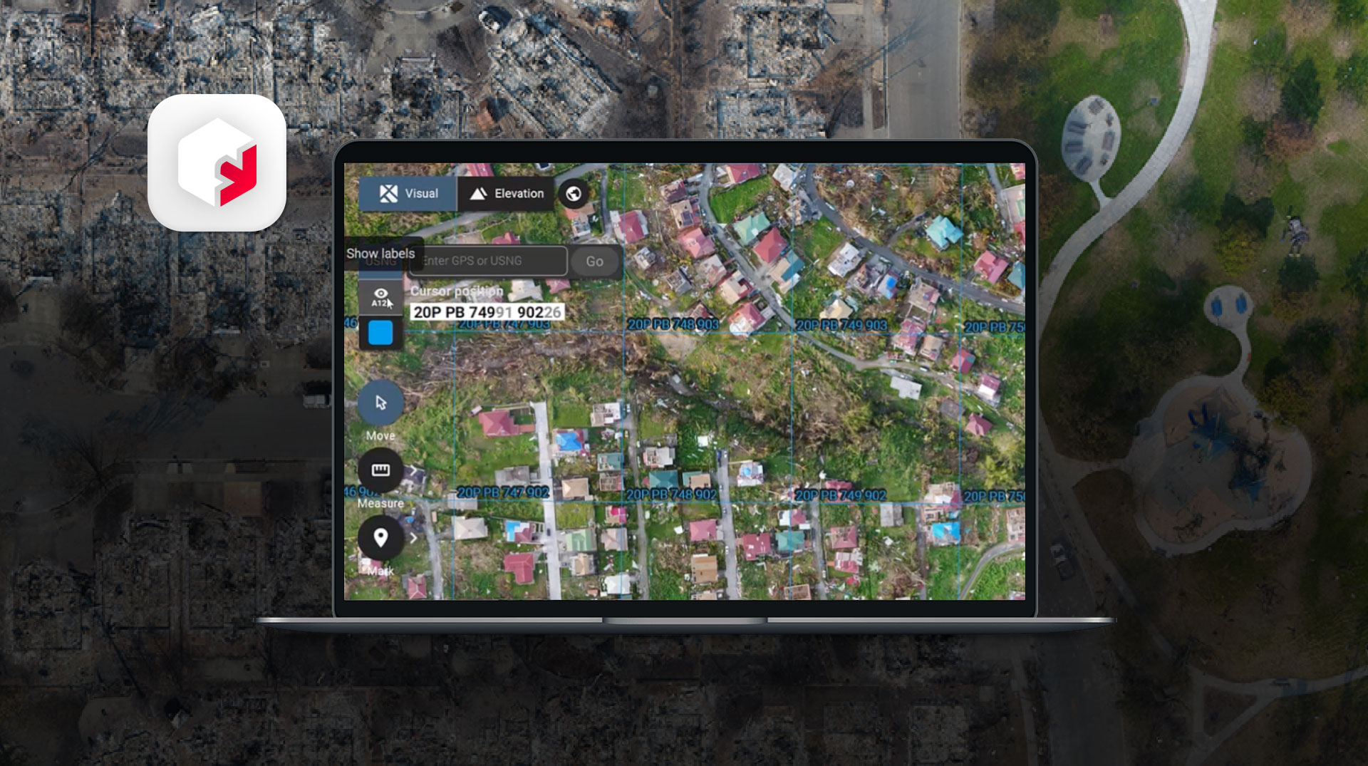
Our 3D platform integrates everything: from precision aerial maps and ground cameras to data from surveying equipment and even field team notes.
Create a living, interactive digital twin of your industry, accessible to anyone on your team, at any time. Optimize processes, accelerate communication, and make faster, smarter decisions.
News
The latest news from the world of Drones and Geotechnologies.