Revolutionizing Railway Infrastructure with Geographic Intelligence
Geotechnologies that enhance railway management.
At DRONE & GIS, We transform aerial and ground data into strategic intelligence for the rail sector.
We specialize in capturing, processing, and analyzing geospatial information to optimize operations and ensure the security of your lines.
Modern railway management requires an integrated technological approach, with accurate, real-time data.
The combination of aerial and ground data, geotechnologies, Geographic Information Systems (GIS), and asset management software forms the basis for a robust, efficient, and proactive management system.
Financial and Strategic Benefits
Cost Reduction with Maintenance
The transition from a corrective maintenance model (firefighting) to a predictive model allows interventions to be planned and executed before failure, which is significantly cheaper than emergency repairs. This optimizes the use of parts, labor, and equipment.
Exponential Increase in Operational and Human Safety
Technology drastically reduces employee exposure to hazardous environments (working at heights, proximity to active tracks). Furthermore, proactive monitoring of geotechnical and structural risks increases the overall safety of the operation, protecting lives and property.
Data-Driven Decision Making
The main strategic advantage is replacing subjectivity and empirical experience with precise, centralized, and analyzable data. Management gains a clear and complete view of the health of its infrastructure, enabling faster and more assertive decisions.
SURVEYING AND INSPECTION WITH HIGH-PRECISION DRONES
Our suite of services and products integrates the lifecycle of your operation, from field data collection to strategic planning. We use drones equipped with high-precision sensors to provide a detailed and accurate view of your rail network. With DRONE & GIS, you have the intelligence needed to optimize your operations, ensure safety, and make more assertive decisions.
Aerial Photogrammetry with Ultra-High Resolution RGB Sensors
Through the capture of georeferenced aerial images with high cartographic precision, we process and generate high-fidelity orthomosaics, Digital Surface Models (DSMs), and Dense Point Clouds. These products are the basis for the identification and quantification of pathologies in the permanent way superstructure, allowing for detailed analysis of:
TracksDetection of surface cracks, analysis of tire wear, and alignment verification.
SleepersClassification of the state of conservation (wood, concrete, steel), identification of rot, cracks and misalignment.
Fastening SystemsInspection for missing or defective critical components such as tie rods, elastic clamps, and support plates.
Infrared Thermography for Predictive Analytics
We generate highly dense, georeferenced three-dimensional point clouds (hundreds of points per square meter) that replicate the reality of the railway corridor with unparalleled precision. LiDAR technology is fundamental for:
Answer Key AnalysisPrecise verification of interferences in the structural and rolling stock design, essential for operational safety and the transport of special loads.
Terrain Modeling (DTM): Ability to penetrate vegetation, providing an accurate model of the terrain for drainage analyses, slope stability studies, and earthwork projects.
3D Vector ExtractionGeneration of cross-sectional and longitudinal profiles of the roadway, "as-built" modeling of Special Engineering Structures (bridges, tunnels, viaducts) and identification of settlements or deformations in the roadbed.
Infrared Thermography for Predictive Analytics
We use radiometric thermal sensors to detect thermal anomalies (heat signatures) that are unequivocal indicators of overload, excessive friction, or impending failure in electromechanical components. Applications include:
Inspection of Substations and CatenariesIdentifying hot spots in transformers, insulators, disconnect switches, circuit breakers, and splices of the electrical traction network before they develop into a disruptive failure.
Dynamic Component Analysis: Verification of overheating in the bearings of turnouts (track switching devices) and other critical equipment along the track.
Multispectral Remote Sensing for Right-of-Way Management
Using sensors that capture vegetation reflectance in specific spectral bands (such as Near-Infrared – NIR), we perform a precise phytosanitary analysis of the right-of-way. Processing this data allows us to:
Calculation of Vegetation Indices (e.g., NDVI)Quantification of vegetation vigor and water stress, allowing for the early detection of diseased trees or trees at risk of falling onto the road.
Optimized Vegetation Suppression Planning: Mapping of invasive species and prioritization of areas for mowing and chemical control, optimizing resources and ensuring compliance with the right-of-way.
INFRASTRUCTURE AND PROPERTY MANAGEMENT
Our expertise ensures the structural integrity and intelligent management of your railway. We use cutting-edge technology to create Digital Twins, inspect special engineering structures, and monitor the right-of-way. This not only ensures compliance and safety but also provides essential data for long-term strategic planning.
Creation of "Digital Twins"
We develop high-fidelity, three-dimensional, dynamic virtual models of your railway infrastructure. Using LiDAR (Light Detection and Ranging) technology, we create dense, georeferenced point clouds that serve as a precise database. These models allow for gauge analysis, operational simulations, and the planning of future expansions or modernizations with millimeter precision.
With these Digital Twins, you can:
Analyze templates to ensure that the load and trains are in compliance.
Simulate modernization projects before starting construction, saving time and money.
Manage assets more efficiently, with accurate and up-to-date data in a virtual environment.
Inspection of Special Engineering Structures
We conduct detailed aerial inspections of bridges, viaducts, and tunnels using our drones equipped with high-resolution cameras. Image analysis allows for the early and precise identification of structural pathologies such as cracks, corrosion, and displacements. This method eliminates the need to close the roadway, minimizes safety risks for inspection teams, and optimizes preventative maintenance. With this, you can:
Schedule predictive maintenance and avoid unexpected failures.
Reducing risks for inspection teams, who no longer need to expose themselves to hard-to-reach areas.
We use multispectral sensors to monitor and map the railway corridor.
This technology enables proactive vegetation management, in addition to helping to...:
To mitigate the risk of falling trees and other events that could disrupt operations.
To control illegal invasions and constructions in the area.
Identify erosion processes before they cause major damage to the road.
Geotechnical Risk Analysis
We integrate detailed topographic data with geotechnical information to map and monitor areas with potential slope instability and other geological hazards, providing essential input for containment and mitigation projects.
With this information, your team can:
Plan containment and security reinforcement projects based on accurate data.
Reduce operational risks and ensure the safety of trains and passengers.
Optimize the allocation of resources to areas that truly need attention.
Multifunctional Technical Registry
We have created a complete and accurate georeferenced database of all your railway assets.
This registration is an essential tool for:
Optimize expansion and modernization projects with access to reliable infrastructure data.
Simplify land regularization and asset management processes.
To support strategic decision-making with a complete and up-to-date overview of your rail network.
OPERATIONS AND INFRASTRUCTURE
Through predictive inspections and constant monitoring, we help your team make data-driven decisions, ensuring a rapid response to emergencies and compliance with all regulatory standards.
Enhance the safety and efficiency of your operation with a proactive and technological approach.
Operational Optimization and Efficiency
By continuously monitoring the infrastructure, we ensure predictive maintenance that increases network availability and punctuality.
Our approach replaces subjectivity with precise analysis, providing dashboards and reports for data-driven decision-making. This allows for more assertive planning, optimizing resource allocation and increasing operational profitability.
Security and Risk Response
We reduced human exposure to risks by minimizing the need for teams to conduct inspections on the road.
Proactive monitoring of slopes and right-of-way enhances overall safety. In emergencies, our drones can be rapidly deployed to assess damage caused by accidents or extreme weather events.
The speed with which critical information is collected accelerates response time and the restoration of operations.
Compliance and Audit
Our platform centralizes all information, creating a detailed and easily auditable record of inspections, maintenance, and asset conditions.
This ensures full compliance with industry standards and regulatory requirements, simplifying audit processes and ensuring that your operation meets all safety and governance standards.
ASSET MANAGEMENT
We've replaced the reactive approach with a proactive and predictive system that ensures maximum availability and reliability. Our centralized platform, which includes web-based asset management software, enables precision drone inspections and the use of predictive analytics to act before problems occur. Transform your management and increase the efficiency of your operation with a data-driven approach.
Web-based Asset Management Software
Our solution integrates all geospatial information into a centralized web-based asset management software.
We offer a unified and centralized platform that provides a real-time view of your entire infrastructure.
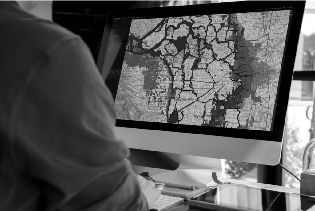
Through an intuitive dashboard, each asset — from sleepers and rails to track switches — is registered in a georeferenced database, which stores its complete history of mapping, inspections, diagnoses, and interventions.
This robust and digitally accessible database becomes the backbone of your management.