Transportation – Railways
Intelligent Asset Management with Intelligence
Artificial and Geospatial








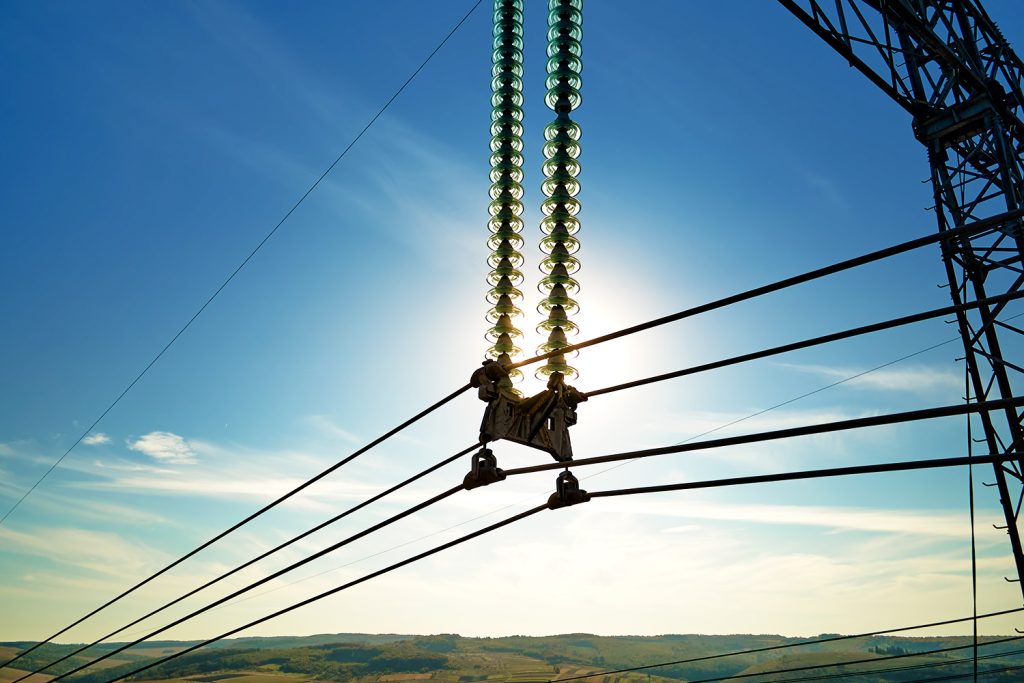
The management of low, medium, and high voltage electrical networks faces exponential challenges, driven by infrastructure expansion, aging assets, extreme weather events, and the need for energy reliability (uptime). Traditional inspection, besides being expensive and risky, offers a one-off and reactive view.
The integration of Unmanned Aerial Vehicles, Geotechnologies, and Artificial Intelligence (AI) establishes a new paradigm for operation and maintenance (O&M), migrating from a reactive model to a predictive and digital model, allowing the creation of a robust data ecosystem, resulting in a dynamic Digital Twin of the network.

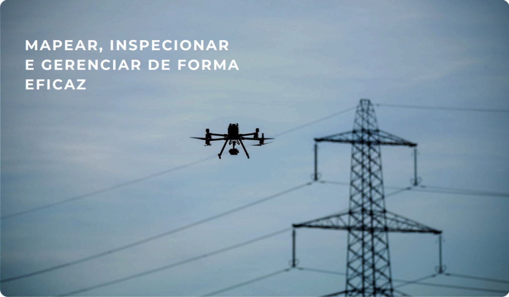
Modern management of transmission lines (TLs) and distribution lines (DLs) — encompassing networks of
High, medium, and low voltage require more than reactive inspections. They require predictive intelligence.
The cost of an unplanned failure, the risks of traditional inspections, and the complexity
The increasing size of right-of-way areas demands a digital transformation.
At DRONE & GIS, We have unified the asset management lifecycle into 3 pillars.
fundamental, driven by high-performance drones, precision geotechnologies and
Artificial Intelligence platform.
Before managing, you need to know every inch of your network.
Our mapping solutions go beyond simple visualization.,
Creating functional and highly accurate Digital Twins.
Mapping Services (Drones and Geotechnologies):
Applications and Products:
Manual inspections are slow, subjective, and dangerous. DRONE & GIS uses drones equipped with multiple sensors to capture data that our Artificial Intelligence algorithms analyze in record time.
Multi-Sensor Inspection Services:
Applications and Products:
Collected data only has value when it generates intelligent actions. At DRONE & GIS, we integrate all mapping and inspection data into our asset management platform, which uses AI to migrate your operation from reactive to predictive mode.
Management and Analysis Services (AI & GIS):
Applications and Products:
Integrated Solutions: Mapping,
Inspection, Predictive Analysis and Management of
Distribution Assets
The sustainability, efficiency, and resilience of electrical power distribution networks (Medium and Low Voltage) are intrinsically linked to the utility's ability to manage millions of assets dispersed across complex environments.
Our technology, comprised of drones (platforms for capturing massive amounts of data), geotechnologies (spatial context and data management), and artificial intelligence (the analysis and prediction engine), enables the complete digitization and intelligent management of the network, optimizing CAPEX and OPEX and dramatically improving quality indicators.
Our solutions integrate the entire asset lifecycle, from registration to predictive maintenance and loss prevention, always under the supervision and final validation of our expert engineers.
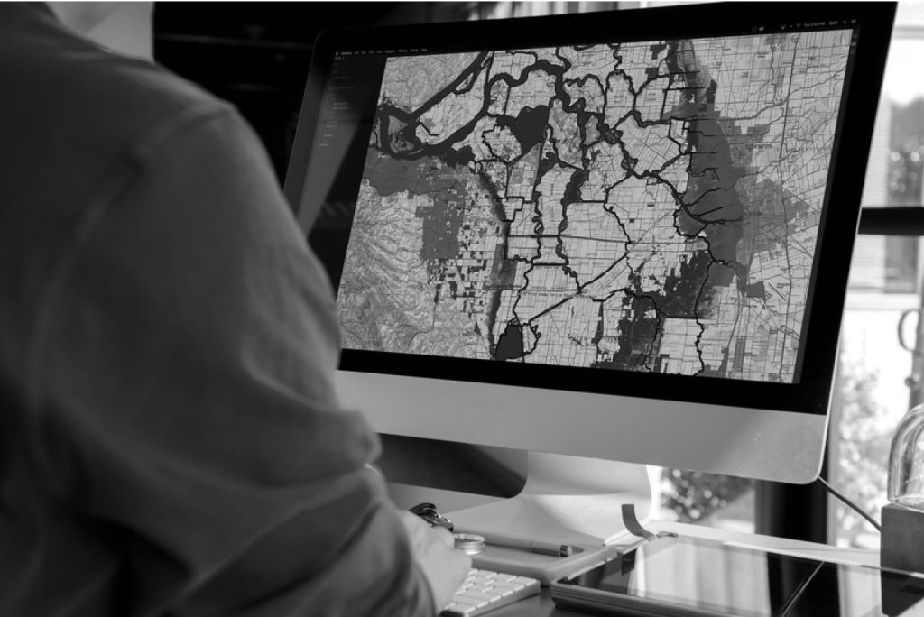
The foundation of any intelligent management system is an accurate (as-built) and georeferenced asset inventory.
Our methodology accelerates the creation and updating of this inventory, combining automation with technical validation.
Our Applications:
Complete sweeping of urban and rural corridors using
Drones and/or ground vehicles (mobile mapping) equipped
with high-definition LiDAR scanners and RGB cameras.
Products Generated:
Our Applications:
AI algorithms (Convolutional Neural Networks) analyze the
LiDAR point cloud and images to detect, classify and
Automatically vectorize each component of the network.
Generated Products (GIS Database):
Our Applications:
Identification, counting and classification of cables and
telecommunications company equipment (contractual)
or clandestine) on each pole.
Products Generated:
With the digital inventory established, our drones equipped with multiple sensors perform detailed inspections.
AI acts as an initial analyst, processing thousands of data points to identify anomalies. Then, our expert engineers validate and refine these diagnoses, ensuring accuracy and the correct application of solutions.
Visual Integrity Analysis (Computer Vision)
Detection of potential structural anomalies (tilt,
cracks), damage to crossarms, problems with insulators
(cracks, pollution), cable wear and corrosion levels
in hardware.
Intelligent Thermographic Analysis (Thermal-AI)
Detection and pre-classification of thermal anomalies by
criticality, identifying hotspots in connections,
overload in transformers and overheating in
fuse switches.
Maximizing operational efficiency, the
security and reliability of the system
electric through precise digitization
from their networks.
Maintaining the integrity and performance of high-voltage networks is a complex logistical and operational challenge that demands absolute precision and maximum safety. Traditional inspection methods are expensive, slow, and expose teams to high risks.
DRONE & GIS revolutionizes this scenario. We integrate state-of-the-art drone technology equipped with ultra-high-resolution RGB sensors, LiDAR, and thermography, with robust Geoprocessing (GIS) and Artificial Intelligence platforms.
We don't just deliver data; we deliver actionable intelligence. Our solution enables utilities and transmission operators to move from reactive maintenance to a predictive model, optimizing CAPEX and OPEX.
Before inspecting, we create an exact virtual replica of your line. Using drones equipped with LiDAR sensors and high-accuracy GNSS positioning systems (RTK/PPK), we perform 3D mapping of the entire corridor.
Products and Applications:
Classified 3D Point CloudA precise three-dimensional model of towers, cables, insulators, and ground.
Structural Analysis and As-BuiltDetection of tilts, twists or deformities in towers, verification of verticality and comparison with the original design (as-built).
Calculation of Sag (Catenary) and Clearance“Precise measurement of cable distances to the ground and other obstacles, ensuring operational safety under varying conditions.
Basis for ProjectsSimulation of line repowering (upgrade) and heavy maintenance planning.
We replaced reactive inspection with in-depth predictive diagnosis.
Our specialized aircraft carry multiple sensors to capture a complete view of the asset's health in a single flight.
This not only optimizes field time and reduces operational costs, but also allows for the direct correlation of anomalies, offering a complete and unequivocal overview of the health of each asset.
High-Resolution Visual Inspection (RGB)
TechnologyWe use high-resolution CMOS sensors coupled with long-range optical zoom systems. This allows for standoff inspections (performed from a safe distance), capturing millimeter-level details without the need to de-energize the line or expose teams to risk. Applications and Detections:
Structures (Towers)Detailed analysis of corrosion levels (light, moderate, severe), foundation integrity, structural damage (dents, twists), missing bolts, nuts or locking components (cot pins).
Insulator StringsPrecise detection of cracked, broken, punctured, or highly contaminated glass, porcelain, or polymer insulators.
Conductor Cables and Lightning RodsIdentification of broken wires, fraying, corrosion, and damage to splices (splicing sleeves).
Hardware and AccessoriesAnalysis of damaged or displaced dampers, corrosion or breakage in suspension and anchor clamps, shackles and other connectors.
Thermographic Radiometric Inspection (Infrared)
TechnologyWe employ highly sensitive radiometric thermal cameras (measured in mK). Unlike conventional sensors, they not only "see" heat, but quantify the absolute temperature and the ΔT (temperature differential) of each component with precision. .
Applications and Detections:
Connection Diagnosis (Imminent Failure)Detection of high electrical resistance points (Joule effect) in connectors, splices, and terminals. This is the main indicator of an imminent catastrophic failure, allowing for correction before shutdown.
Component AnalysisIdentification of overheating in disconnect switches, insulators with current leakage (dielectric heating), and load imbalance between phases.
Maintenance PrioritizationThe precise quantification of $\Delta T$ allows for immediate criticality classification (e.g., Alert, Critical, Emergency), directing maintenance teams to the most urgent risks and optimizing resources.
The volume of data collected across kilometers of transmission lines is massive. Our Artificial Intelligence (AI) and Computer Vision platform processes 100% of the collected images and data, eliminating human error and ensuring that no anomalies are missed.
Automatic Anomaly DetectionOur neural networks are trained to automatically identify and classify hundreds of types of defects: from a broken insulator pin to specific levels of corrosion.
Maintenance PrioritizationAI not only finds the defect, but also classifies it by criticality level (low, medium, urgent), allowing your maintenance teams to focus on what really matters.
Predictive Modeling (Asset Health Score)By cross-referencing inspection data, asset age, and historical data, our machine learning models generate a "health index" for each tower, predicting which structures are most likely to fail.
Geographic Intelligence for Networks
Safer and more efficient electric devices.
A Vegetation Management It is one of the biggest and most complex operational bottlenecks for transmission and distribution companies.
The interference of vegetation in right-of-way areas is not only the main cause of unscheduled interruptions (increasing SAIDI and SAIFI), but also represents an imminent safety risk, potential fires, and generates significant regulatory liabilities.
The traditional maintenance model, based on cycles of visual inspection and reactive pruning, is expensive, labor-intensive, and ineffective at predicting and mitigating risks on a large scale.
Our solution goes beyond simple monitoring. We create a dynamic Digital Twin of your network, integrating data from multiple sources to provide accurate and, more importantly, predictive diagnostics.
We not only collect data, we generate a Geospatial intelligence ecosystem which transforms your reactive maintenance strategy into a proactive, data-driven operation.
We use high-frequency, high-resolution satellite imagery to screen for "hotspots" in vast areas.
Change DetectionWe monitor vegetation growth and vigor (using indices such as NDVI) along extensive transmission corridors.
Risk SegmentationWe automatically classify zones by priority (low, medium, high), optimizing resource allocation for detailed inspections.
For high-priority areas and complex distribution networks, we employ high-performance drones equipped with LiDAR and RGB sensors.
3D Point Cloud GenerationLiDAR penetrates vegetation, creating a high-density three-dimensional model of the terrain, vegetation, and network assets.
Precise Catenary ModelingWe classify the cables and precisely model their catenary (curvature/sag), taking into account variations in temperature and load.
Encroachment DetectionWe calculate the exact three-dimensional distance (horizontal and vertical) between each point of vegetation and the drivers, identifying safety zone violations with high precision.
Phytosanitary InventoryHigh-resolution RGB sensors enable species identification, detection of dead or diseased trees, and assessment of fall risk.
This is where raw data is transformed into actionable intelligence within a GIS (Geographic Information System) environment.
Creating the Digital TwinWe consolidate all data (LiDAR, satellite, asset data) into a unified Digital Twin of your network.
Predictive Risk AnalysisOur machine learning algorithms go beyond current risk. They analyze species, growth rates, and local conditions to predict when an area will become critical.
Pruning and Removal OptimizationWe generate removal reports indicating exactly which trees need intervention and the volume of biomass to be removed. This optimizes the planning of work orders and the allocation of field teams.
Proactively mitigate the root cause of
Interruptions. Reduce the number and duration.
of network failures caused by
vegetation, directly improving its
performance indicators
Maintain a robust digital record.,
detailed and auditable across its entire range of
easement, ensuring full compliance
complying with the requirements of regulatory agencies.
