Revolutionizing Railway Infrastructure with Geographic Intelligence
Geotechnologies that enhance railway management.
At DRONE & GIS, We transform aerial and ground data into strategic intelligence for the rail sector.
We specialize in capturing, processing, and analyzing geospatial information to optimize operations and ensure the security of your lines.
Modern railway management requires an integrated technological approach, with accurate, real-time data.
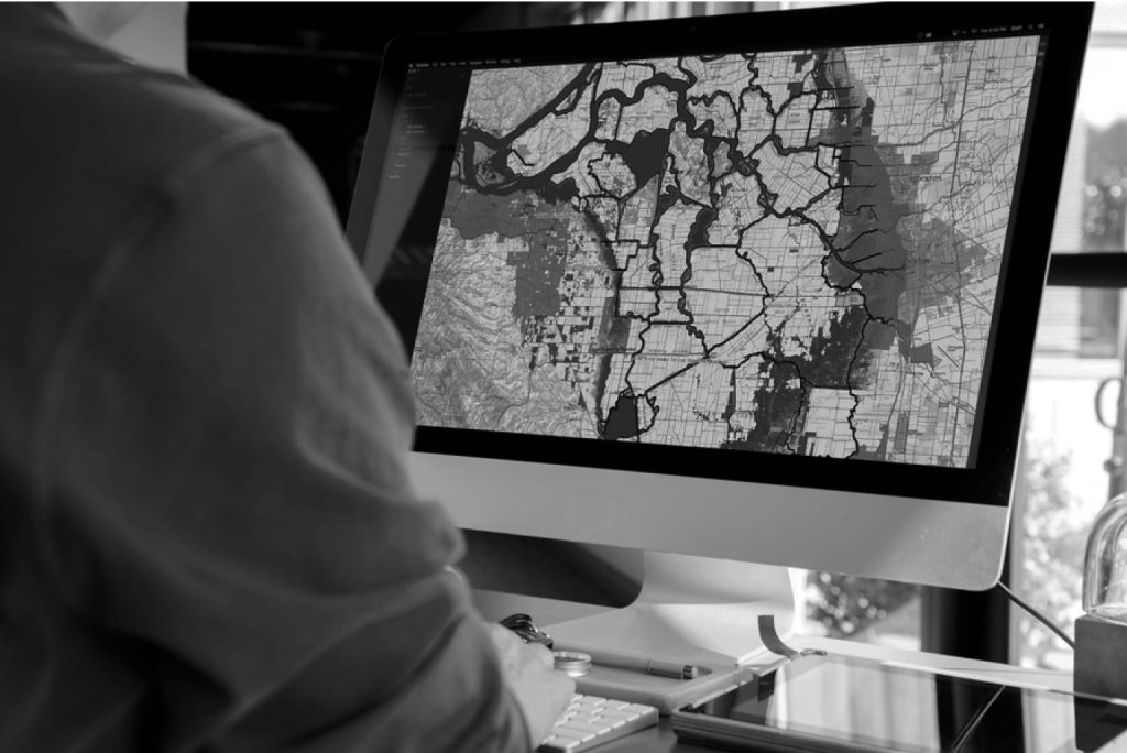
The combination of aerial and ground data, geotechnologies, Geographic Information Systems (GIS), and asset management software forms the basis for a robust, efficient, and proactive management system.
Our Solutions
DRONE & GIS applies advanced solutions in Geotechnologies and Remotely Piloted Aircraft Systems (Drones/RPA) to transform the management of hydroelectric assets.
We replace traditional, expensive, and high-risk methods with digital, predictive, and highly accurate solutions, guaranteeing the performance, longevity, and operational safety of your plant.
PRECISION STRUCTURAL INSPECTION AND DIGITAL TWIN
The integrity of dams, spillways, water intakes, and powerhouses is non-negotiable.
Our advanced inspection methodologies utilize drones equipped with high-resolution sensors (RGB, Thermal) and LiDAR technology to create photorealistic three-dimensional models and high-density point clouds.
Detailed Visual and Thermal Inspections
Using drones equipped with high-resolution cameras and high-density LiDAR sensors, we perform complete scans of concrete structures (dams, spillways, powerhouses) and rock slopes. We identify and georeference microcracks, efflorescence, spalling, and areas of moisture (via infrared thermography) inaccessible to the human eye or conventional methods.
Creating Digital Twins
Accurate 3D modeling for asset management.
Ours Digital Twins They serve as a georeferenced database for maintenance planning, intervention simulations, and historical recording of the structure's "health".
Deformation Analysis and Geotechnical Monitoring
Our deformation monitoring platform is the foundation of risk management. Using a combination of high-precision GNSS techniques and periodic LiDAR/InSAR scans, we perform Continuous Structural Diagnostics.
This allows for the monitoring of millimeter-level displacements (absolute and relative) in the dam structure and adjacent embankments. This data directly feeds into stability models and safety management systems, providing vital predictive alerts.
Intelligent Power Plant Management
Gain complete control over the integrity of your assets; plan ahead. Perform maintenance in a predictive manner and operate with maximum safety.
Performance Hydrography and Water Resources Management
We know that siltation is a threat that reduces the usable volume of the reservoir and, consequently, the installed capacity.
Using underwater drones equipped with multibeam and singlebeam bathymetry Using high-definition imaging, we map the reservoir bed with extreme accuracy. Our solution precisely quantifies sediment volume, updates the elevation-volume curve, and identifies critical erosion zones.
Furthermore, we integrate this bathymetric data with satellite imagery to monitor water quality (such as macrophyte proliferation) and provide robust data for your energy dispatch forecasting and optimization models.
Territorial Intelligence, Geoenvironmental Intelligence, and ESG Compliance
Our platform uses high-resolution satellite imagery and drone orthomosaics to monitor land use, ensuring the integrity of Permanent Preservation Areas (APP) and the reservoir's safety zone.
We proactively identify and map areas of geological risk (such as landslides and erosion) that may threaten your structures or transmission lines.
Furthermore, we optimize the management of your transmission assets by carrying out the registration, inspection, and analysis of vegetation within the right-of-way, thus optimizing your pruning and maintenance plans.